Gonzales in Gonzales County, Texas — The American South (West South Central)
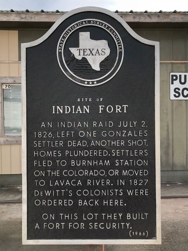
Site of Indian Fort
An Indian raid July 2, 1826, left one Gonzales settler dead, another shot, homes plundered. Settlers fled to Burnham Station on the Colorado, or moved to Lavaca River. In 1827 DeWitt's colonists were ordered back here.
On this lot they built a fort for security.
Erected 1966 by State Historical Survey Committee. (Marker Number 2634.)
Topics. This historical marker is listed in this topic list: Forts and Castles. A significant historical year for this entry is 1827.
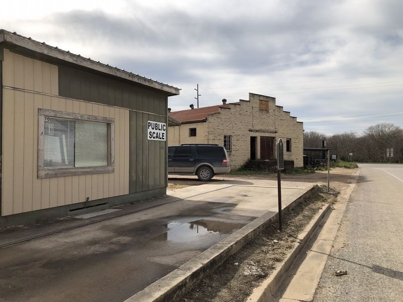
Location. 29° 29.967′ N, 97° 27.298′ W. Marker is in Gonzales, Texas, in Gonzales County. Marker is at the intersection of St. Louis Street (State Highway 146 Spur) and St. John Street, on the right when traveling east on St. Louis Street. Touch for map. Marker is at or near this postal address: 212 St Louis Street, Gonzales TX 78629, United States of America. Touch for directions.
Other nearby markers. At least 8 other markers are within walking distance of this marker. Gonzales Cannon Burial Site (about 400 feet away, measured in a direct line); 1834 Homesite of Capt. and Mrs. Almaron Dickinson (about 700 feet away); Plaza (about 700 feet away); Andrew Ponton (approx. 0.2 miles away); James W. Robinson (approx. 0.2 miles away); Campsite Marking Start of San Jacinto Campaign (approx. 0.2 miles away); Gonzales Courthouse (approx. 0.2 miles away); Central Square (approx. 0.2 miles away). Touch for a list and map of all markers in Gonzales.
Credits. This page was last revised on November 22, 2020. It was originally submitted on January 3, 2019, by Brian Anderson of Humble, Texas. This page has been viewed 265 times since then and 26 times this year. Photos: 1, 2. submitted on January 3, 2019, by Brian Anderson of Humble, Texas.

