
Gonzales in Gonzales County, Texas — The American South (West South Central)
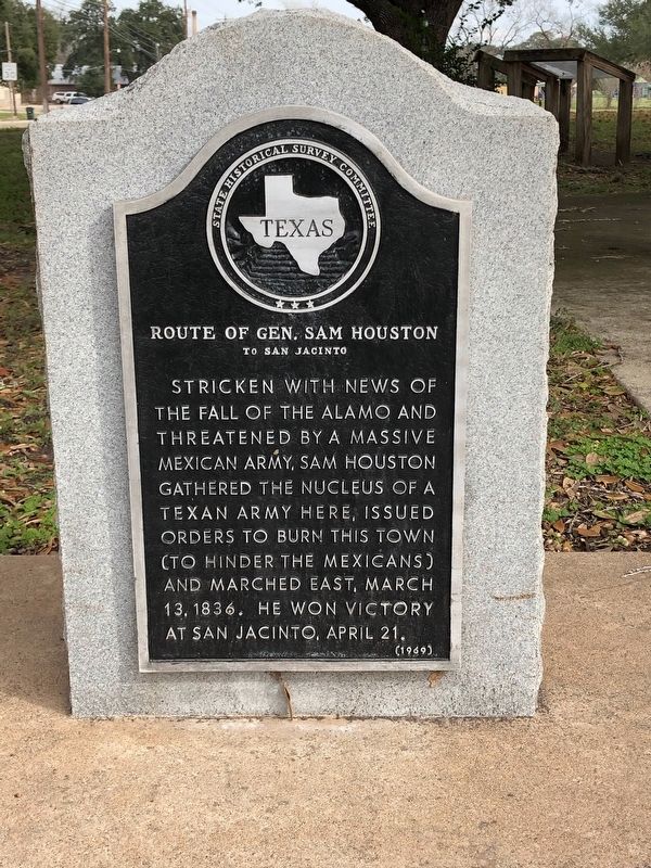
Route of Gen. Sam Houston
to San Jacinto
Photographed by Brian Anderson, December 31, 2018
1. Route of Gen. Sam Houston to San Jacinto Marker
Stricken with news of the fall of the Alamo and threatened by a massive Mexican army, Sam Houston gathered the nucleus of a Texan army here, issued orders to burn this town (to hinder the Mexicans) and marched east, March 13, 1836. He won Victory at San Jacinto, April 21.
Erected 1969 by State Historical Survey Committee. (Marker Number 4367.)
Topics. This historical marker is listed in this topic list: War, Texas Independence. A significant historical date for this entry is March 13, 1836.
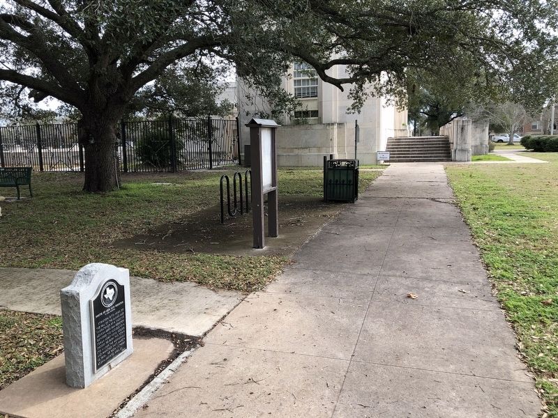
Location. 29° 30.259′ N, 97° 26.612′ W. Marker is in Gonzales, Texas, in Gonzales County. It is at the intersection of St. Lawrence Street and Smith Street, on the right when traveling east on St. Lawrence Street. Marker is located on the north side of the square surrounding the Gonzales Memorial Museum. Touch for map. Marker is at or near this postal address: 414 Smith Street, Gonzales TX 78629, United States of America. Touch for directions.

Regionally, this marker is in the Hill Country. It is also in the American South. Globally, it is in North America, a Gulf of Mexico state, the Western Hemisphere, the Western World, and the
this page online
Other nearby markers. At least 8 other markers are within walking distance of this marker: Gonzales Memorial Museum (a few steps from this marker); Gonzales Memorial Museum and Amphitheatre (within shouting distance of this marker); The Immortal 32 (within shouting distance of this marker); Holmes Hospital (about 400 feet away, measured in a direct line); Sarah Ponton Eggleston (about 500 feet away); The Eggleston House (about 500 feet away); Charles T. Rather House (approx. ¼ mile away); Cemetery Square (approx. 0.3 miles away). Touch for a list and map of all markers in Gonzales.
Also see . . . Runaway Scrape - The Handbook of Texas Online. Texas State Historical Association (TSHA) (Submitted on January 4, 2019, by Brian Anderson of New Albany, Ohio.)
Photographed by Brian Anderson, December 31, 2018
2. Route of Gen. Sam Houston to San Jacinto Marker
Credits. This page was last revised on November 22, 2020. It was originally submitted on January 3, 2019, by Brian Anderson of New Albany, Ohio. This page has been viewed 1,361 times since then and 94 times this year. Photos: 1, 2. submitted on January 3, 2019, by Brian Anderson of New Albany, Ohio.
