Dillon in Beaverhead County, Montana — The American West (Mountains)
Distant Features
Your observations are to be taken with great pains & accuracy, to be entered distinctly & intelligibly for others as well as yourself, to comprehend all the elements necessary
—President Thomas Jefferson
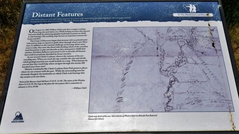
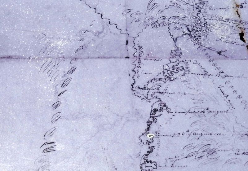
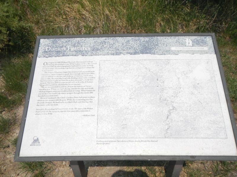
On August 13, 1805 William Clark took three compass readings from atop the rock before you. While looking out from this exposed limestone bluff he selected geographic landmarks as points on which to take bearings. His resulting maps became an important resource for future travelers.
The Corps of Discovery began their journey with no printed materials such as maps or reports to guide them through what is now Montana. In addition to the constant challenge of choosing which water route to take, they were also faced with deciding which of the countless land formations to plot and describe as they attempted to fulfill their mission. President Jefferson instructed Lewis to describe all features that could be positively identified by future travelers.
As you ascend Clark’s Lookout, observe the vastness of the surrounding area. When you reach the top, consider the view and decide which geological points you would include on a map. What features do you see that that would help others navigate through this terrain 200 hundred years from now?
Historic Landmarks like Clark’s Lookout State Park preserve places where we can connect with the past. While the surrounding area has obviously changed, the landmarks on which Clark took bearings that day remain as he saw them.
Point of the Beavers head hill hears N24 E. 12 Ms. The course of the Wisdom River N25 W. The Gap at the place the river passes thro' a mountain in advance is 18 w 10 Ms
—William Clark
Erected by Montana State Parks.
Topics and series. This historical marker is listed in these topic lists: Exploration • Landmarks. In addition, it is included in the Former U.S. Presidents: #03 Thomas Jefferson, and the Lewis & Clark Expedition series lists. A significant historical date for this entry is August 13, 1805.
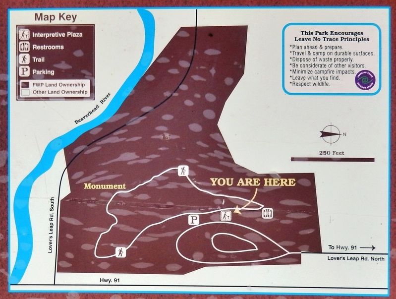
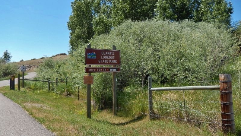
Location. 45° 14.118′ N, 112° 37.982′ W. Marker is in Dillon, Montana, in Beaverhead County. Marker is on Clarks Lookout Road west of State Highway 91, on the right when traveling south. Marker is located in Clark's Lookout State Park, at the trailhead on the west side of the parking lot. Touch for map. Marker is at or near this postal address: 25 Clarks Lookout Road, Dillon MT 59725, United States of America. Touch for directions.
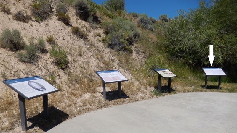
Other nearby markers. At least 8 other markers are within 2 miles of this marker, measured as the crow flies. Mapping the Way (here, next to this marker); Reliable Landmarks (here, next to this marker); William Clark (here, next to this marker); Clark Pocket Compass Monument
(about 300 feet away, measured in a direct line); Beaverhead County World War II Memorial (approx. ¾ mile away); City of Dillon City Hall (approx. 1.2 miles away); Dillon City Hall Historic District (approx. 1.2 miles away); Dillon Implement Company (approx. 1.2 miles away). Touch for a list and map of all markers in Dillon.
More about this marker. Marker is a large, framed composite plaque, mounted horizontally on waist-high metal posts.
Related markers. Click here for a list of markers that are related to this marker. Clark's Lookout State Park
Also see . . . Clark's Lookout. (This link presents some good photos of the lookout and surrounding vistas.) Captain Lewis was leading the way with a small group while Captain Clark was bringing up the rear. In order to make the journey across the Rocky Mountains to the Pacific Ocean, the party needed horses from the local tribe. Clark climbed a high bluff above the Beaverhead River to get a sense of his surroundings and document the location. Unknown to Clark, Lewis had met with 60 Shoshone warriors and was working to establish a meeting at what would become Camp Fortunate. While Clark was using the lookout, Lewis was struggling to gain the trust
and cooperation of the Shoshone. The longer Clark remained behind, the harder it became for Lewis to keep the tribe with him. Low on food, the Shoshones were anxious to move on and hunt. (Submitted on January 3, 2019, by Cosmos Mariner of Cape Canaveral, Florida.)
Credits. This page was last revised on August 31, 2021. It was originally submitted on January 3, 2019, by Cosmos Mariner of Cape Canaveral, Florida. This page has been viewed 234 times since then and 20 times this year. Photos: 1, 2, 3. submitted on January 3, 2019, by Cosmos Mariner of Cape Canaveral, Florida. 4. submitted on August 30, 2021, by Barry Swackhamer of Brentwood, California. 5, 6. submitted on January 3, 2019, by Cosmos Mariner of Cape Canaveral, Florida. • Andrew Ruppenstein was the editor who published this page.
