
Fort Belvoir in Fairfax County, Virginia — The American South (Mid-Atlantic)
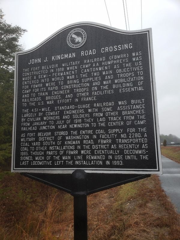
John J. Kingman Road Crossing
January 5, 2019
1. John J. Kingman Road Crossing Marker
The 4.51-mile, standard gauge railroad was built largely by combat engineers, with some assistance by civilian workers and soldiers from other branches. From January to July of 1918 they laid track from the railhead junction near Newington to the center of the camp.
As Fort Belvoir stored the entire coal supply for the Military District of Washing in Facility No. 2280, a coal yard south of Kingman Road, FBMRR transported coal to other installations in the district as recently as 1985. Though parts of FBMRR were eventually decommissioned, much of the main line remained in use until the last locomotive left the installation in 1993.
Erected 2018 by Fort Belvoir and the Federal Highway Administration.
this page online
Topics. This historical marker is listed in these topic lists: Forts and Castles • Railroads & Streetcars • War, World I. A significant historical year for this entry is 1918.
Location. 38° 43.123′ N, 77° 10.068′ W. Marker is in Fort Belvoir, Virginia, in Fairfax County. It is at the intersection of Fairfax County Parkway (Virginia Route 286) and John J. Kingman Road, on the right when traveling north on Fairfax County Parkway. Touch for map. Marker is in this post office area: Fort Belvoir VA 22060, United States of America. Touch for directions.

Regionally, this marker is in the Washington Metropolitan Area and in Northern Virginia. It is also in the American South, specifically in the Upper South, in the Mid-Atlantic, and on the Eastern Seaboard. Globally, it is in the North Atlantic Region, North America, the Western Hemisphere, the Western World, and the Anglosphere. Historically, it finds itself in what was once the territory of the Mississippian Culture, one of the original Thirteen Colonies, one of the Confederate States of America, and the Antebellum South.
Other nearby markers. At least 8 other markers
Photographed by Kevin W., June 22, 2021
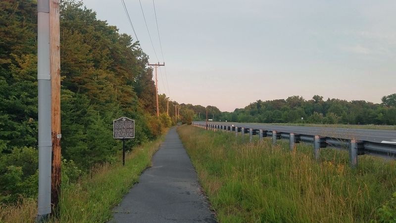
2. John J. Kingman Road Crossing Marker
Photographed by Kevin W., June 22, 2021
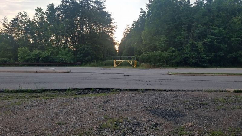
3. John J. Kingman Road Crossing
The location where the FBMRR crossed John J. Kingman Road.
Credits. This page was last revised on June 22, 2021. It was originally submitted on January 5, 2019. This page has been viewed 1,338 times since then and 55 times this year. Photos: 1. submitted on January 5, 2019. 2, 3. submitted on June 22, 2021, by Kevin W. of Stafford, Virginia. • Bernard Fisher was the editor who published this page.
