Rodessa in Caddo Parish, Louisiana — The American South (West South Central)
Discovery-Rodessa Oil Field
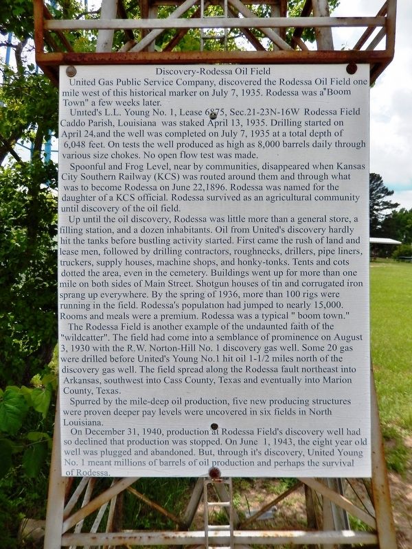
United Gas Public Service Company, discovered the Rodessa Oil Field one mile west of this historical marker on July 7, 1935. Rodessa was a “Boom Town” a few weeks later.
United’s L.L. Young No. 1, Lease 6875, Sec.21-23N-16W Rodessa Field Caddo Parish, Louisiana was staked April 13, 1935. Drilling started on April 24,and the well was completed on July 7, 1935 at a total depth of 6,048 feet. On tests the well produced as high as 8,000 barrels daily through various size chokes. No open flow test was made.
Spoonful and Frog Level, nearby communities, disappeared when Kansas City Southern Railway (KCS) was routed around them and through what was to become Rodessa on June 22,1896. Rodessa was named for the daughter of a KCS official. Rodessa survived as an agricultural community until discovery of the oil field.
Up until the oil discovery, Rodessa was little more than a general store, a filling station, and a dozen inhabitants. Oil from United’s discovery hardly hit the tanks before bustling activity started. First came the rush of land and lease men, followed by drilling contractors, roughnecks, drillers, pipe liners, truckers, supply houses, machine shops, and honky-tonks. Tents and cots dotted the area, even in the cemetery. Buildings went up for more than one mile on both sides of Main Street. Shotgun houses of tin and corrugated iron sprang up everywhere. By the spring of 1936, more than 100 rigs were running in the field. Rodessa's population had jumped to nearly 15,000. Rooms and meals were a premium. Rodessa was a typical “boom town.”
The Rodessa Field is another example of the undaunted faith of the “wildcatter”. The field had come into a semblance of prominence on August 3, 1930 with the R.W. Norton-Hill No. 1 discovery gas well. Some 20 gas were drilled before United’s Young No.1 hit oil 1-1/2 miles north of the discovery gas well. The field spread along the Rodessa fault northeast into Arkansas, southwest into Cass County, Texas and eventually into Marion County, Texas.
Spurred by the mile-deep oil production, five new producing structures were proven deeper pay levels were uncovered in six fields in North Louisiana.
On December 31, 1940, production at Rodessa Field’s discovery well had so declined that production was stopped. On June 1, 1943, the eight year old well was plugged and abandoned. But, through its discovery, United Young No. 1 meant millions of barrels of oil production and perhaps the survival of Rodessa.
Topics. This historical marker is listed in these topic lists: Industry & Commerce • Railroads & Streetcars • Settlements & Settlers. A significant historical date for this entry is July 7, 1935.
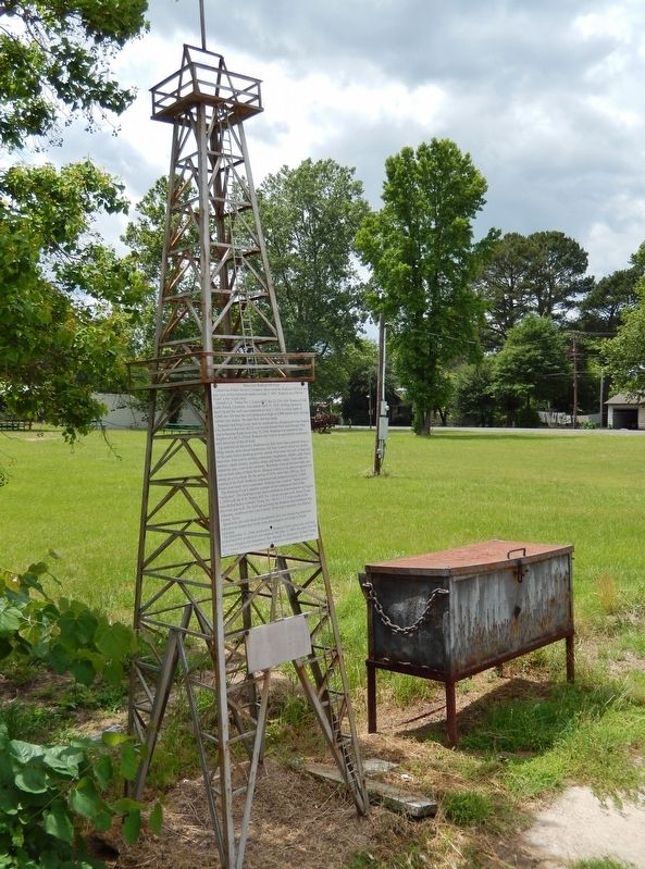
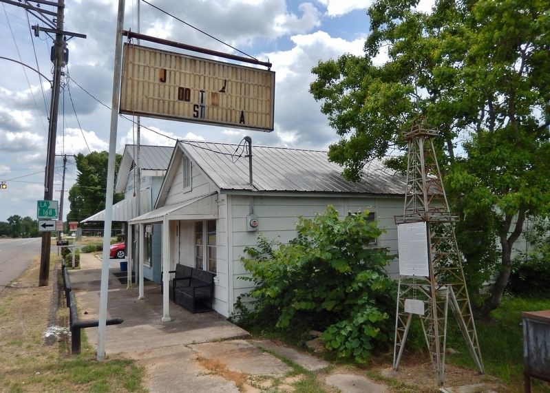
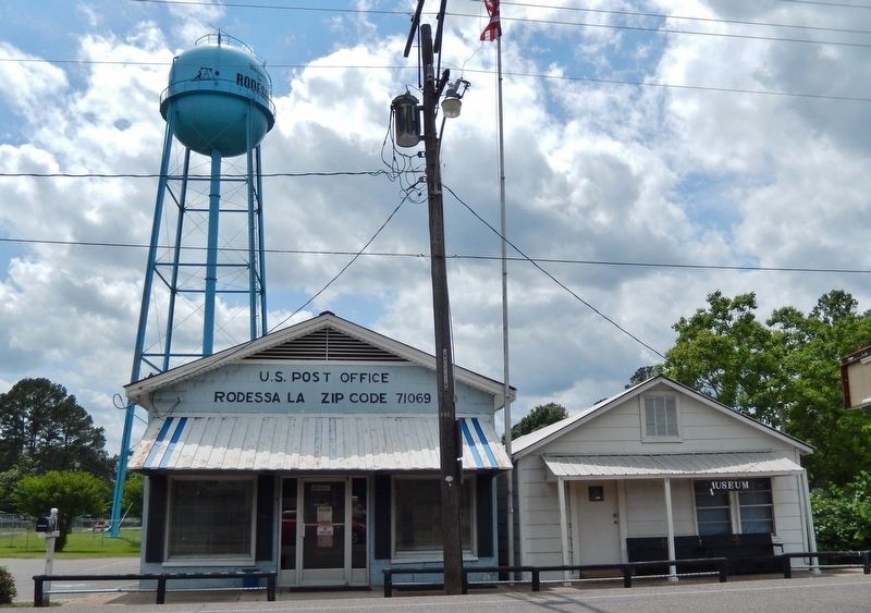
Location. 32° 58.294′ N, 93° 59.733′ W. Marker is in Rodessa, Louisiana, in Caddo Parish. Marker is on West Front Street (State Highway 1) north of Main Street (State Highway 168), on the left when traveling north. Marker is located on the Rodessa Museum grounds, north of the Rodessa Post Office. Touch for map. Marker is at or near this postal address: 20065 West Front Street, Rodessa LA 71069, United States of America. Touch for directions.
Other nearby markers. At least 8 other markers are within 9 miles of this marker, measured as the crow flies. Frog Level (approx. 0.2 miles away); Ida Lousiana (approx. 6.3 miles away); Ida Post Office Building (approx. 6.3 miles away); Vivian Railroad Station (approx. 6.9 miles away); Roughnecks & Roustabouts (approx. 6.9 miles away); Agriculture (approx. 6.9 miles away); Transportation & Timber (approx. 6.9 miles away); Hosston Methodist Church (approx. 8.8 miles away).
Also see . . . Rodessa Oilfield. Handbook of Texas website entry:
The Rodessa oilfield extends from western Louisiana across the southeastern corner of Cass County and into the northeastern corner of Marion County. Drilling on the Texas side of the field began on December 24, 1936, with the completion of the R. W. Norton No. 1, Haywood well in Cass County and was extended into Marion County in 1937. (Submitted on January 5, 2019, by Cosmos Mariner of Cape Canaveral, Florida.)
Credits. This page was last revised on January 16, 2022. It was originally submitted on January 5, 2019, by Cosmos Mariner of Cape Canaveral, Florida. This page has been viewed 1,210 times since then and 126 times this year. Photos: 1, 2, 3, 4. submitted on January 5, 2019, by Cosmos Mariner of Cape Canaveral, Florida. • Bernard Fisher was the editor who published this page.


