Summit Hill in Carbon County, Pennsylvania — The American Northeast (Mid-Atlantic)
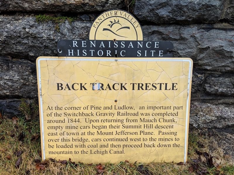
Backtrack Trestle
Renaissance Historic Site
Topics and series. This historical marker is listed in these topic lists: Industry & Commerce • Railroads & Streetcars. In addition, it is included in the Lehigh Canal series list. A significant historical year for this entry is 1844.
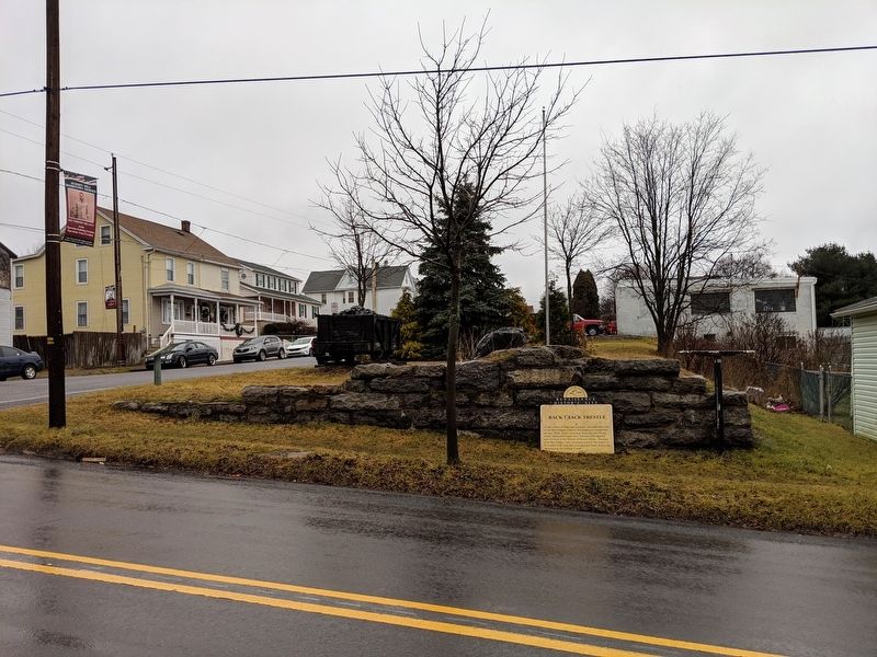
Location. 40° 49.518′ N, 75° 52.065′ W. Marker is in Summit Hill, Pennsylvania, in Carbon County. Marker is at the intersection of Pine Street and East Ludlow Street, on the right when traveling north on Pine Street. Touch for map. Marker is in this post office area: Summit Hill PA 18250, United States of America. Touch for directions.
Other nearby markers. At least 8 other markers are within 3 miles of this marker, measured as the crow flies. Old Presbyterian Cemetery (approx. ¼ mile away); Philip Ginter (approx. 0.3 miles away); Soldiers Monument (approx. 0.3 miles away); World War I Memorial (approx. 0.4 miles away); Philip Ginder (approx. 0.4 miles away); No. 8 Colliery (approx. 1.9 miles away); Mary Harris "Mother" Jones (approx. 1.9 miles away); Five Mile Tree Crossover (approx. 2.6 miles away). Touch for a list and map of all markers in Summit Hill.

Photographed By Mike Wintermantel, January 5, 2019
3. Making an Entrance Marker
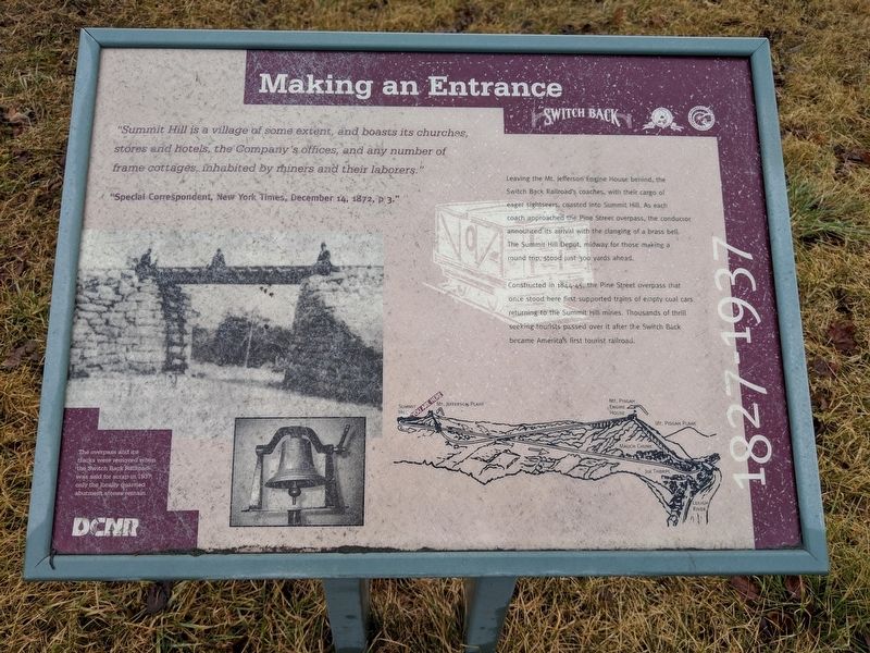
Leaving the Mt. Jefferson Engine House behind, the Switch Back Railroad's coaches, with their cargo of eager sightseers, coasted into Summit Hill. As each coach approached the Pine Street overpass, the conductor announced the arrival with clanging of a brass bell. The Summit Hill Depot, midway for those making a round trip, stood just 300 yards ahead.
Constructed in 1844-45, the Pine Street overpass that once stood here once supported trains of empty coal cars returning to the Summit Hill mines. Thousands of thrill seeking tourists passed over it after the Switch Back became America's first tourist railroad.
Constructed in 1844-45, the Pine Street overpass that once stood here once supported trains of empty coal cars returning to the Summit Hill mines. Thousands of thrill seeking tourists passed over it after the Switch Back became America's first tourist railroad.
Credits. This page was last revised on January 6, 2019. It was originally submitted on January 6, 2019, by Mike Wintermantel of Pittsburgh, Pennsylvania. This page has been viewed 274 times since then and 16 times this year. Photos: 1, 2, 3. submitted on January 6, 2019, by Mike Wintermantel of Pittsburgh, Pennsylvania.

