Liberty in Liberty County, Texas — The American South (West South Central)
Mexican Hill
Photographed by Brian Anderson, January 6, 2019
1. Mexican Hill Marker
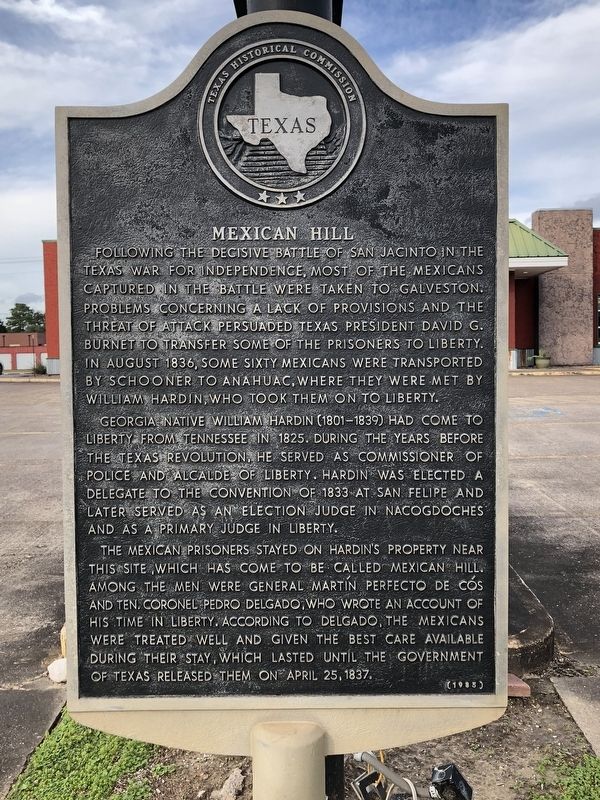
Georgia native William Hardin (1801-1839) had come to Liberty from Tennessee in 1825. During the years before the Texas Revolution, he served as Commissioner of Police and Alcalde of Liberty. Hardin was elected a delegate to the Convention of 1833 at San Felipe and later served as an election judge in Nacogdoches and as a primary judge in Liberty.
The Mexican prisoners stayed on Hardin's property near this site, which has come to be called Mexican Hill. Among the men were General Martin Perfecto de Cos and Ten. Coronel Pedro Delgado, who wrote an account of his time in Liberty. According to Delgado, the Mexicans were treated well and given the best care available during their
this page online
Erected 1985 by Texas Historical Commission. (Marker Number 9677.)
Topics. This historical marker is listed in this topic list: War, Texas Independence. A significant historical month for this entry is August 1836.
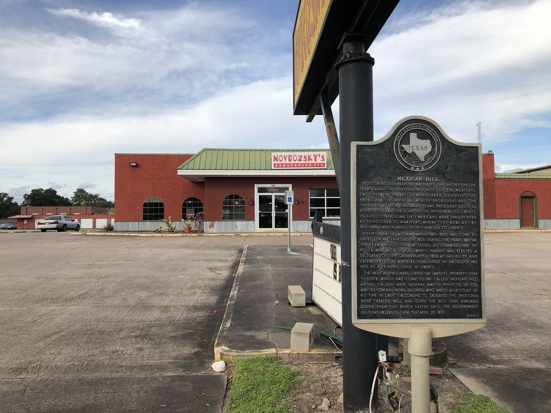
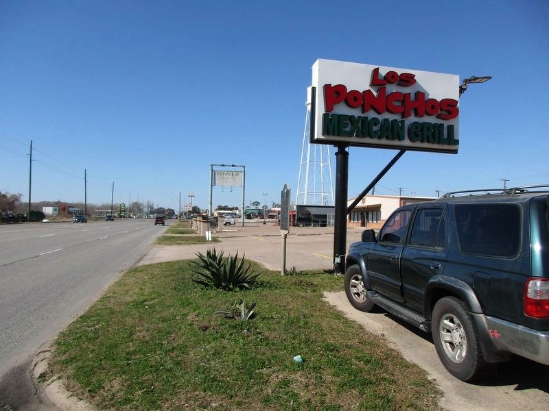
Location. 30° 3.406′ N, 94° 47.521′ W. Marker is in Liberty, Texas, in Liberty County. It is on U.S. 90, on the right when traveling west. Touch for map. Marker is at or near this postal address: 2315 US-90, Liberty TX 77575, United States of America. Touch for directions.

Regionally, this marker is in the Houston Metropolitan Area. It is also in the American South and on the Gulf Coast. Globally, it is in North America, a Gulf of Mexico state, the Western Hemisphere, the Western World, and the Anglosphere. Historically, it finds itself in what was once New Spain, the Republic of Texas, and one of the Confederate States of America.
Other nearby markers. At least 8 other markers are within walking distance of this marker: Plaza de Mercado (approx. ¼ mile away); Tarver Abstract Company (approx. ¼ mile away); Commercial Corner (approx.
Photographed by Brian Anderson, January 6, 2019
2. Mexican Hill Marker
Photographed by Jeff Leichsenring, January 19, 2023
3. Mexican Hill Marker
Credits. This page was last revised on January 23, 2024. It was originally submitted on January 7, 2019, by Brian Anderson of New Albany, Ohio. This page has been viewed 951 times since then and 93 times this year. Photos: 1, 2. submitted on January 7, 2019, by Brian Anderson of New Albany, Ohio. 3. submitted on January 23, 2024, by Jeff Leichsenring of Garland, Texas.
