Dover in Kent, England, United Kingdom — Northwestern Europe (the British Isles)
Doverís defences
Dover's defences
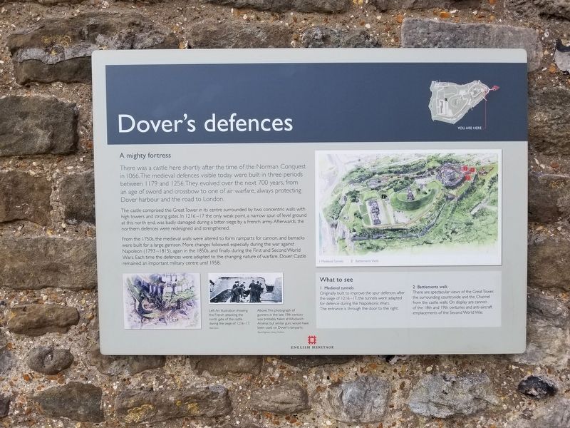
A mighty fortress
There was a castle here shortly after the time of the Norman Conquest in 1066. The medieval defences visible today were built in three periods between 1179 and 1256. They evolved over the next 700 years, from an age of sword and crossbow to one of air warfare, always protecting Dover harbour and the road to London.
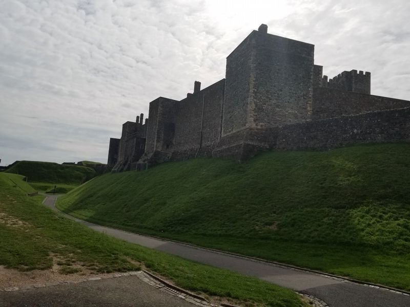
The castle comprised the Great Tower in its centre surrounded by two concentric walls with high towers and strong gates. In 1216 — 17 the only weak point, a narrow spur of level ground at this north end, was badly damaged during a bitter siege by a French army. Afterwards, the northern defences were redesigned and strengthened.
From the 1750s, the medieval walls were altered to form ramparts for cannon, and barracks were built for a large garrison. More changes followed, especially during the war against Napoleon (1793 — 1815), again in the 1850s, and finally during the First and Second World Wars. Each time the defences were adapted to the changing nature of warfare. Dover Castle remained an important military centre until 1958.
What to see
1 † Medieval tunnels † Originally built to improve the spur defences after the siege of 1216 — 17, the tunnels were adapted for defence during the Napoleonic Wars. The entrance is through the door to the right.
2 † Battlements walk † there are spectacular views of the Great Tower; the surrounding countryside and the Channel from the castle walls. On display are cannon of the 18th and 19th centuries and anti-aircraft emplacements of the Second World War.
( photo captions )
Left: An illustration showing the French attacking the north gate of the castle during the siege of 1216-17. † Peter Dunn
Above:This photograph of gunners in the late 19th century was probably taken at Woolwich Arsenal, but similar guns would have been used on Dover's ramparts. † Royal Engineers Library, Chatham
Topics. This historical marker is listed in this topic list: Forts and Castles.
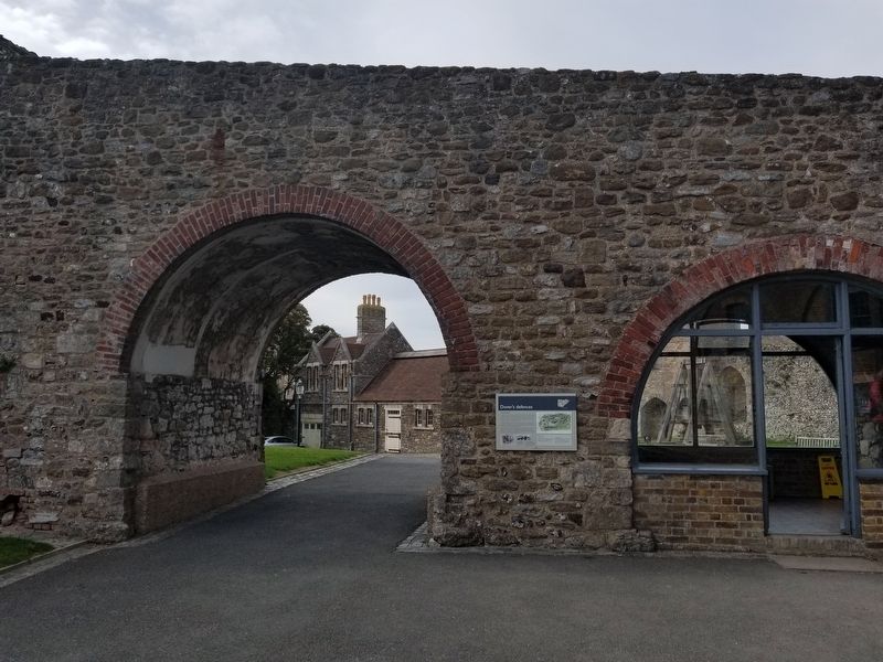
Location. 51° 7.82′ N, 1° 19.236′ E. Marker is in Dover, England, in Kent. Marker can be reached from the intersection of Castle Hill Road and Canons Gate Road, on the left when traveling south. Located at Dover Castle. Touch for map. Marker is in this post office area: Dover, England CT16 1HU, United Kingdom. Touch for directions.
Other nearby markers. At least 8 other markers are within walking distance of this marker. Buildings of Dover Castle (about 120 meters away, measured in a direct line); Arthurís Hall (about 120 meters away); Medieval Dover (about 180 meters away); Doverís early history (about 210 meters away); Louis Blťriot 1909 (approx. 0.4 kilometers away); Blťriotís 1909 Landing Site (approx. 0.4 kilometers away); Saluting Platform (approx. 0.4 kilometers away); Admiral Sir Bertram Ramsay (approx. half a kilometer away). Touch for a list and map of all markers in Dover.
Also see . . .
1. English Heritage - Dover Castle. (Submitted on January 11, 2019, by Michael Herrick of Southbury, Connecticut.)
2. Dover Castle on Wikipedia. (Submitted on January 11, 2019, by Michael Herrick of Southbury, Connecticut.)
Credits. This page was last revised on January 27, 2022. It was originally submitted on January 11, 2019, by Michael Herrick of Southbury, Connecticut. This page has been viewed 301 times since then and 59 times this year. Photos: 1, 2, 3. submitted on January 11, 2019, by Michael Herrick of Southbury, Connecticut.


