Montgomery in Montgomery County, Texas — The American South (West South Central)
The Old Methodist Churchyard
Photographed by Brian Anderson, January 13, 2019
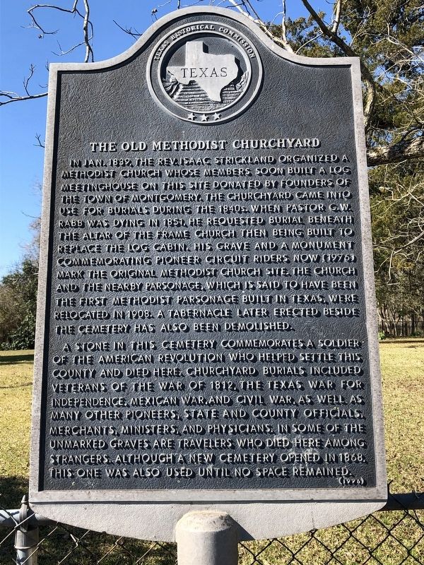
1. The Old Methodist Churchyard Marker
A stone in this cemetery commemorates a soldier of the American Revolution who helped settle this county and died here. Churchyard burials included veterans of the War of 1812, the Texas War for Independence, Mexican War, and Civil War, as well as many other pioneers, state and county officials, merchants, ministers, and physicians. In some of the unmarked graves are travelers who died here among strangers. Although a new cemetery opened
this page online
Erected 1976 by Texas Historical Commission. (Marker Number 7887.)
Topics. This historical marker is listed in these topic lists: Cemeteries & Burial Sites • Religion & Religious Structures. A significant historical month for this entry is January 1839.
Location. 30° 23.33′ N, 95° 41.842′ W. Marker is in Montgomery, Texas, in Montgomery County. It is on Pond Street north of Eva Street (State Highway 105), on the right when traveling south. Touch for map. Marker is at or near this postal address: 309 Pond Street, Montgomery TX 77356, United States of America. Touch for directions.

Regionally, this marker is in the Houston Metropolitan Area. It is also on the American Gulf Coast. Globally, it is in North America, a Gulf of Mexico state, the Western Hemisphere, the Western World, and the Anglosphere. Historically, it finds itself in what was once New Spain, the Republic of Texas, one of the Confederate States of America, and the Antebellum South.
Other nearby markers. At least 8 other markers are within walking distance of this marker: Methodist Church Site and Memorial to Pioneer Circuit Riders
Photographed by Brian Anderson, January 13, 2019
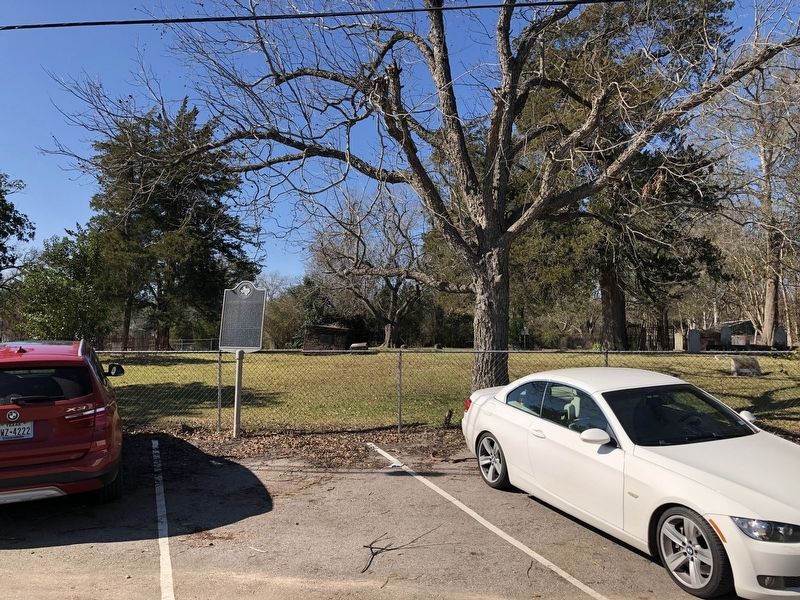
2. The Old Methodist Churchyard Marker
Photographed by Brian Anderson, January 13, 2019
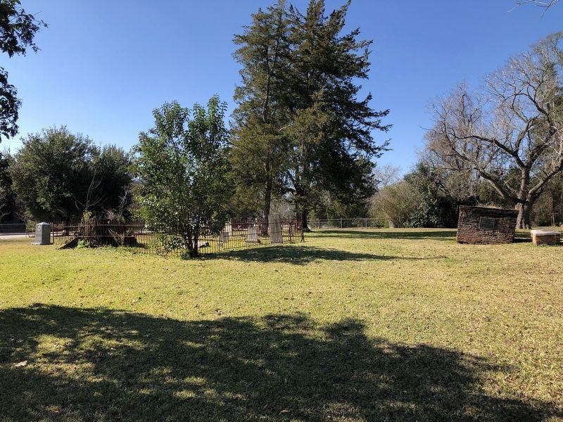
3. The Old Methodist Churchyard
Photographed by Brian Anderson, January 13, 2019
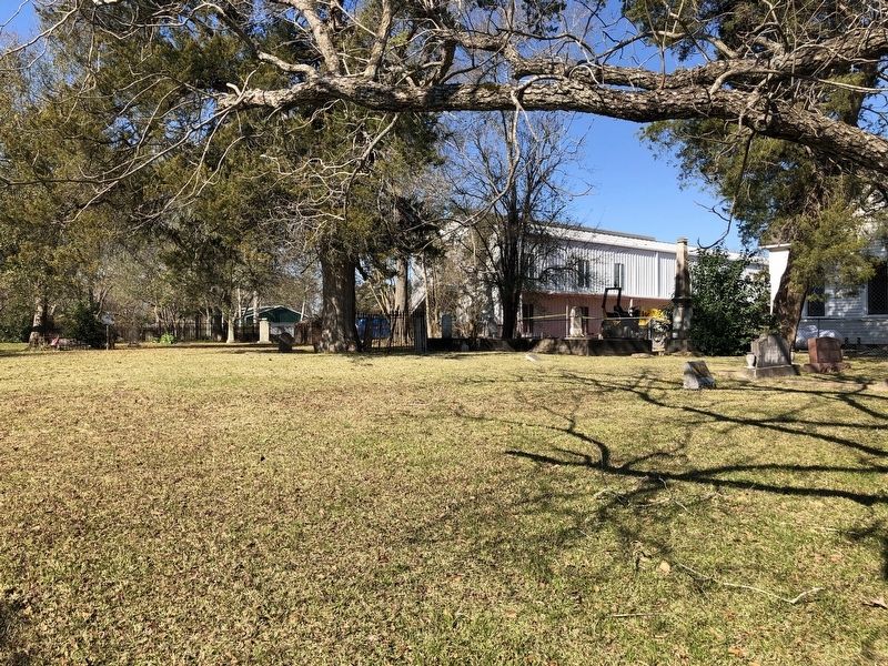
4. The Old Methodist Churchyard

Photographed by Jeff Leichsenring, March 8, 2026
5. The Old Methodist Churchyard Marker
Credits. This page was last revised on March 13, 2026. It was originally submitted on January 14, 2019, by Brian Anderson of New Albany, Ohio. This page has been viewed 503 times since then and 34 times this year. Photos: 1, 2, 3, 4. submitted on January 14, 2019, by Brian Anderson of New Albany, Ohio. 5. submitted on March 8, 2026, by Jeff Leichsenring of Garland, Texas.
