Montgomery in Montgomery County, Texas — The American South (West South Central)
Montgomery County Jail
1855 - 1889
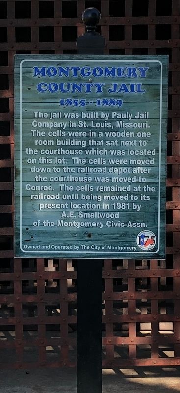
Photographed by Brian Anderson, January 13, 2019
1. Montgomery County Jail Marker
Erected 2012 by the City of Montgomery.
Topics. This historical marker is listed in this topic list: Notable Buildings. A significant historical year for this entry is 1855.
Location. 30° 23.496′ N, 95° 41.788′ W. Marker is in Montgomery, Texas, in Montgomery County. It is at the intersection of Liberty Street (Farm to Market Road 149) and Clepper Drive, on the right when traveling north on Liberty Street. Touch for map. Marker is in this post office area: Montgomery TX 77356, United States of America. Touch for directions.

Regionally, this marker is in the Houston Metropolitan Area. It is also on the American Gulf Coast. Globally, it is in North America, a Gulf of Mexico state, the Western Hemisphere, the Western World, and the Anglosphere. Historically, it finds itself in what was once New Spain, the Republic of Texas, one of the Confederate States of America, and the Antebellum South.
Other nearby markers. At least 8 other markers are within walking distance of this marker: Montgomery County, C.S.A. (here, next to this marker); Town of Montgomery (a few steps from this marker); Charles Bellinger Stewart (within shouting distance of this marker); The Montgomery Town Goat (within shouting distance of this marker); Wood-Valda Home (about 400 feet away, measured in a direct line); First State Bank (about 500 feet away); Methodist Parsonage (about 700 feet away); Davis Law Office (about 800 feet away).
this page online
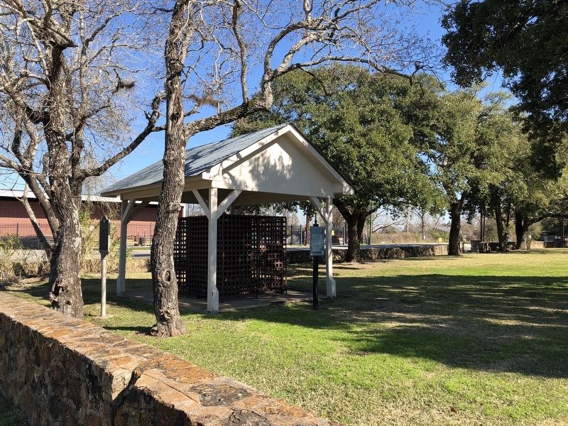
Photographed by Brian Anderson, January 13, 2019
2. Montgomery County Jail Marker
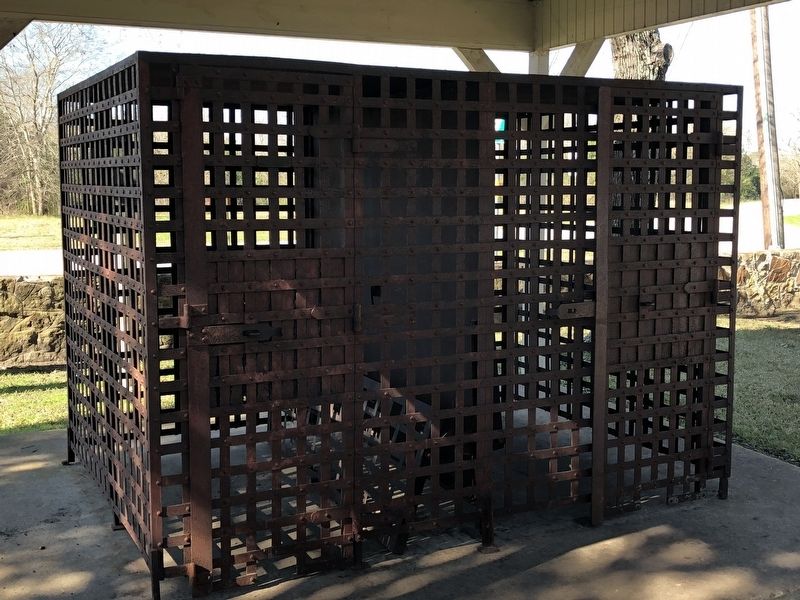
Photographed by Brian Anderson, January 13, 2019
3. Montgomery County Jail
Credits. This page was last revised on January 22, 2019. It was originally submitted on January 22, 2019, by Brian Anderson of New Albany, Ohio. This page has been viewed 1,552 times since then and 134 times this year. Photos: 1, 2, 3. submitted on January 22, 2019, by Brian Anderson of New Albany, Ohio.
