Nanjemoy in Charles County, Maryland — The American Northeast (Mid-Atlantic)
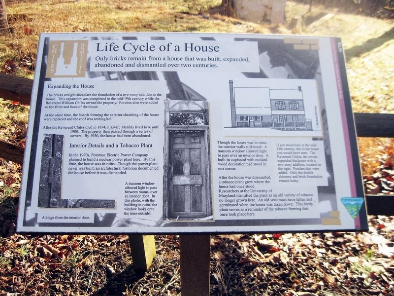
Life Cycle of a House
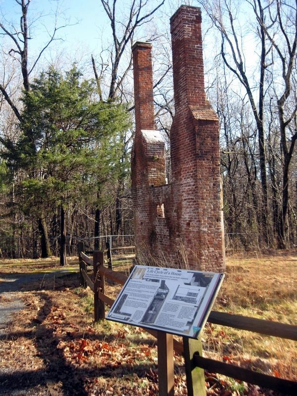
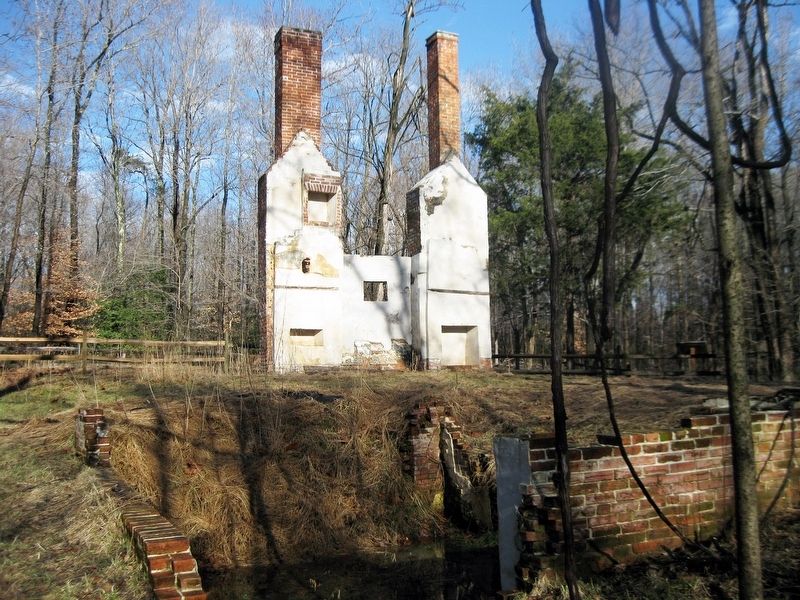
Only brick remain from a house that was built, expanded, abandoned and dismantled over two centuries
Inscription.
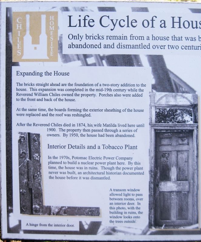
Expanding the House
The bricks straight ahead are the foundation of a two-story addition to the house. This expansion was completed in the mid-19th century while the Reverend William Chiles owned the property. Porches were added to the front and back of the house.
At the same time, the boards forming the exterior sheathing of the house were replaced and the roof was reshingled.
After the Reverend Chiles died in 1874, his wife Matilda lived here until 1900. The property then passed through a series of owners. By 1950, the house had been abandoned.
Interior Details and a Tobacco Plant
In the 1970s, Potomac Electric Power Company planned to build a nuclear power plant here. By this time, the house was in ruins. Though the power plant never was built, an architectural historian documented the house before it was dismantled.
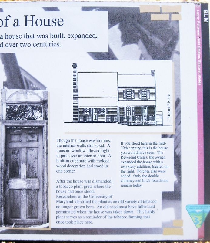
Though the house was in ruins, the interior walls still stood. A transom window allowed light to pass over an interior door. A built-in cupboard with molded wood decorations had stood in one corner.
After the house was dismantled, a tobacco plant grew where the house once stood. Researchers as the University of Maryland identified the plant as an old variety of tobacco no longer grown here. An old seed must have fallen and germinated when the house was taken down. This hardy plant serves as a reminder of the tobacco farming that once took place here.
(Image of hinge.)
A hinge from an interior door.
(Image of a door.)
A transom window allowed light to pass between rooms over an interior door. In this photo, with the building in ruins, the window looks onto the trees outside.
(Black & white drawing of a house.)
If you stood here in the mid-19th century, this is the house you would have seen. The Reverend Chiles, the owner, expanded the house with a two-story addition, located on the right. Porches were also added. Only the double chimney and brick foundation remain today.
(Icon in the upper-left corner for the Chiles Homesite.)
(Icon in the lower-right corner for the Department of the Interior, Bureau of Land Management.)
Topics. This historical marker is listed in these topic lists: Agriculture • Architecture. A significant historical year for this entry is 1874.
Location. 38° 26.6′ N, 77° 15.283′ W. Marker is in Nanjemoy, Maryland, in Charles County. Marker is on Riverside Road (Route 224) 1.1 miles south of Liverpool Point Road (County Route 426). Touch for map. Marker is at or near this postal address: 9699 Riverside Road, Nanjemoy MD 20662, United States of America. Touch for directions.
Other nearby markers. At least 8 other markers are within 3 miles of this marker, measured as the crow flies. Archeology Reveals Outbuildings (here, next to this marker);
Memories of Douglas Point (here, next to this marker); Minister's House, Family Farm (here, next to this marker); Unique Environment (here, next to this marker); Mallows Bay (approx. 1.8 miles away); a different marker also named Mallows Bay (approx. 1.8 miles away); Points of Interest (approx. 1.8 miles away); Washington's Farm (approx. 2.2 miles away). Touch for a list and map of all markers in Nanjemoy.
Also see . . .
1. Chiles Homesite, Douglas Point, Maryland. William & Mary Center for Archaeological Research website entry (Submitted on January 26, 2019.)
2. Mount Pleasant (Chiles House). Maryland Historical Trust Architectural Survey File PDF (Submitted on January 26, 2019.)
3. Douglas Point Special Recreation Management Area. Bureau of Land Management website entry (Submitted on January 26, 2019.)
National Park Service, Thomas Stone National Historic Site, January 24, 2019
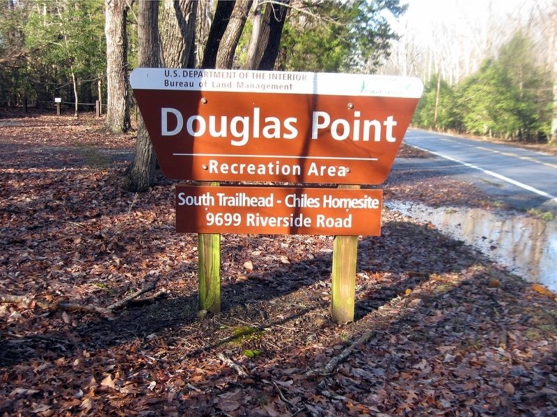
6. Douglas Point Recreation Area Entrance Sign
South Trailhead—Chiles Homesite 9699 Riverside Road
Maryland Department of Natural Resources website entry:
Click for more information.
Maryland Department of Natural Resources website entry:
Click for more information.
Credits. This page was last revised on January 21, 2024. It was originally submitted on January 26, 2019. This page has been viewed 253 times since then and 35 times this year. Photos: 1, 2, 3, 4, 5, 6. submitted on January 26, 2019. • Bill Pfingsten was the editor who published this page.
