Newhalem in Whatcom County, Washington — The American West (Northwest)
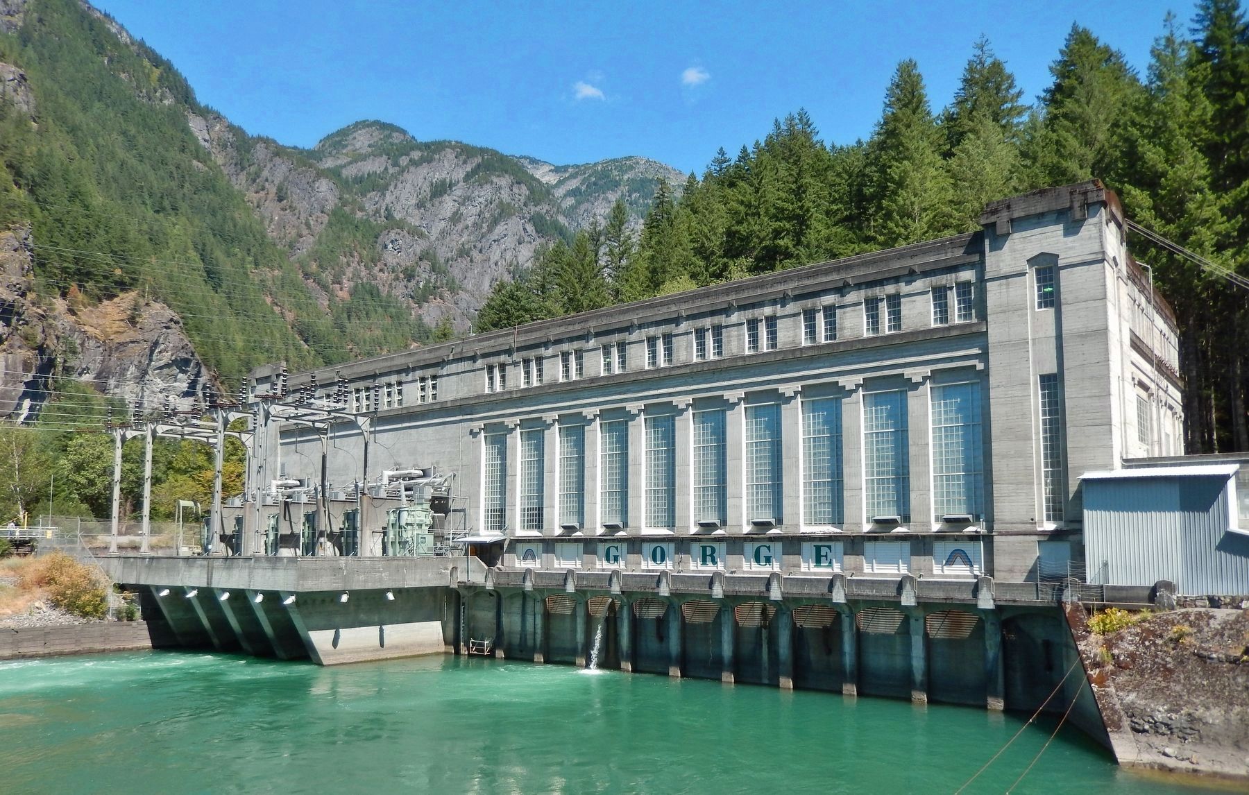
Gorge Powerhouse
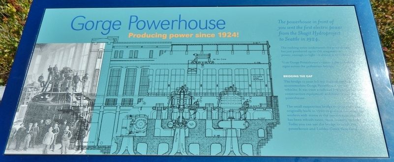
Producing Power Since 1924
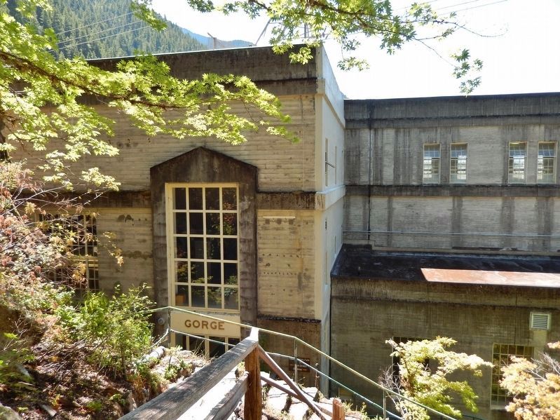
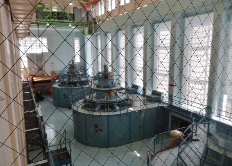
The rushing water underneath the powerhouse has just produced up to 170 megawatts of power, enough to light up almost 9,000 homes.
Visit Gorge Powerhouse’s visitor gallery – follow signs across the pedestrian bridge.
Bridging the Gap
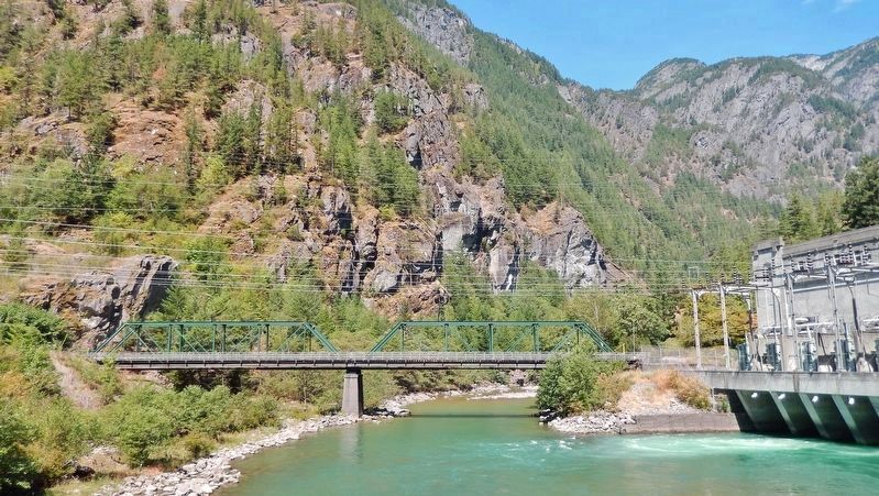
The bridge to your left was built in 1935 to accommodate Gorge Powerhouse service vehicles. It was once a railroad bridge that carried construction equipment and materials to the powerhouse.
The small suspension bridge to your right was originally built in 1920 to provide construction workers with access to the powerhouse site. It has been rebuilt twice, most recently in 1953. Today you can use the bridge to reach the powerhouse and Ladder Creek Falls Garden.
Erected by Seattle City Light.
Topics. This historical marker is listed in these topic lists: Bridges & Viaducts • Charity & Public Work • Natural Resources. A significant historical year for this entry is 1924.
Location. 48° 40.496′ N, 121° 14.512′ W. Marker is in Newhalem, Washington, in Whatcom County. Marker can be reached from North Cascades Highway (Newhalem Street) (Washington Route 20) 0.2 miles east of Main Street, on the right when traveling east. Marker is located in a pull-out and parking lot on the south side of the highway overlooking the Skagit River and Gorge Powerhouse. Touch for map. Marker is in this post office area: Marblemount WA 98267, United States of America. Touch for directions.
Other nearby markers. At least 8 other markers are within 7 miles of this marker, measured as the crow flies. Welcome to Ladder Creek Falls & Gardens (about 400 feet away, measured in a direct line); Electric Forest (about 500 feet away); Lighting of the Falls (about 700 feet away); Old Number 6 (approx. ¼ mile away); Gorge High Dam (approx. 2.2 miles away); Transmission Lines (approx. 2.3 miles away); Chain of Dams (approx. 2.3 miles away); The North Cascades (approx. 7.1 miles away). Touch for a list and map of all markers in Newhalem.
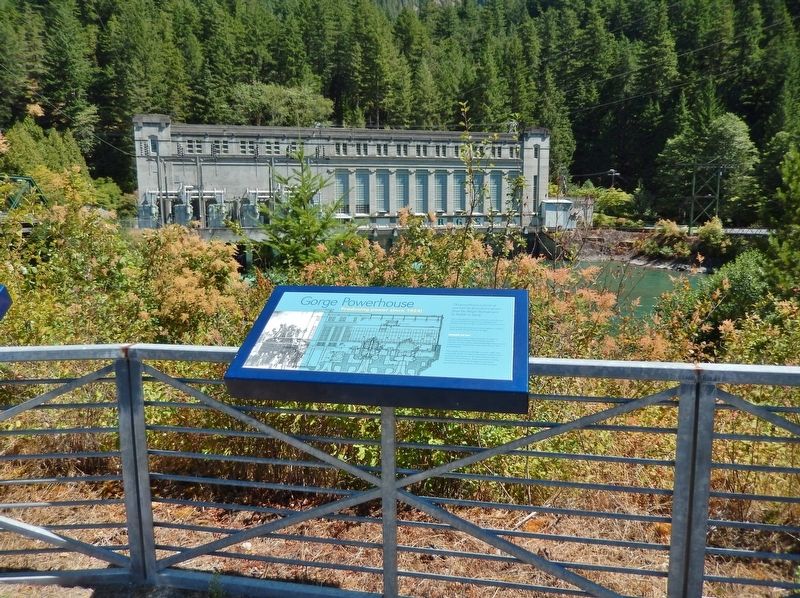
More about this marker. Marker is a framed rectangular composite plaque, mounted horizontally at waist-level on top of the overlook railing.
Regarding Gorge Powerhouse. National Register of Historic Places #89000499 (1989)
Related markers. Click here for a list of markers that are related to this marker. Skagit River Hydroelectric Project
Also see . . .
1. Gorge Powerhouse Photographs (Library of Congress). This link presents an extensive gallery of historic photos of the Gorge Powerhouse. (Submitted on January 28, 2019, by Cosmos Mariner of Cape Canaveral, Florida.)
2. Skagit River Hydroelectric Project. The Skagit River Hydroelectric Project is a series of dams with hydroelectric power-generating stations on the Skagit River in northern Washington State. The project is owned and operated by Seattle City Light to provide electric power for the City of Seattle and surrounding communities. (Submitted on January 28, 2019, by Cosmos Mariner of Cape Canaveral, Florida.)
3. National Register of Historic Places #89000499. (Submitted on January 29, 2019, by Cosmos Mariner of Cape Canaveral, Florida.)
Credits. This page was last revised on January 8, 2024. It was originally submitted on January 28, 2019, by Cosmos Mariner of Cape Canaveral, Florida. This page has been viewed 908 times since then and 148 times this year. Photos: 1, 2, 3, 4, 5, 6. submitted on January 28, 2019, by Cosmos Mariner of Cape Canaveral, Florida. • Andrew Ruppenstein was the editor who published this page.
