Caldwell in Burleson County, Texas — The American South (West South Central)
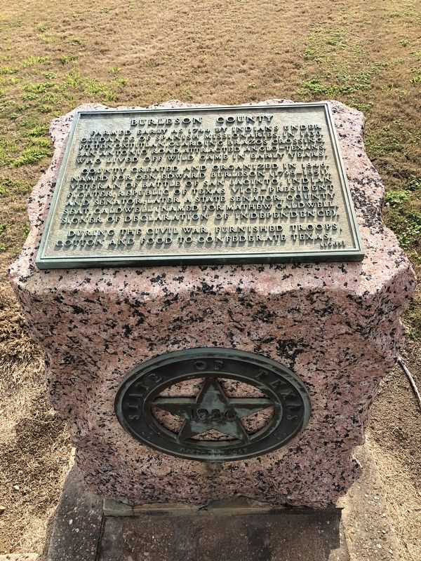
Burleson County
Photographed by Brian Anderson, January 26, 2019
1. Burleson County Marker
County created and organized in 1846. Named for Gen. Edward Burleson (1798-1851), veteran of Battle of San Jacinto; Indian fighter; Republic of Texas Vice-President and Senator, later a State Senator. County seat, Caldwell (named for Mathew Caldwell, signer of Declaration of Independence).
During the Civil War, furnished troops, cotton and food to Confederate Texas.
Erected 1936 by the State of Texas. (Marker Number 7553.)
Topics and series. This historical marker is listed in this topic list: Political Subdivisions. In addition, it is included in the Texas 1936 Centennial Markers and Monuments series list. A significant historical year for this entry is 1846.
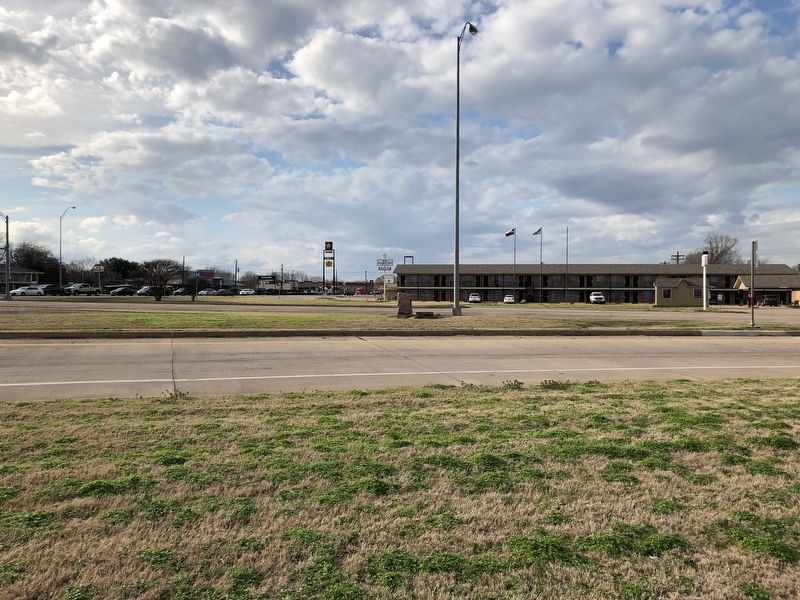
Location. 30° 32.249′ N, 96° 41.566′ W. Marker is in Caldwell, Texas, in Burleson County. It is at the intersection of Presidential Corridor East (State Highway 21) and North Green Street (State Highway 36), on the right when traveling east on Presidential
this page online

Regionally, this marker is in the Prairies & Lakes Region. It is also in the American South. Globally, it is in North America, a Gulf of Mexico state, the Western Hemisphere, the Western World, and the Anglosphere. Historically, it finds itself in what was once New Spain, the Republic of Texas, one of the Confederate States of America, and the Antebellum South.
Other nearby markers. At least 8 other markers are within walking distance of this marker: Burleson County, C.S.A. (approx. 0.4 miles away); Early Settlers of Burleson County in the Texas War for Independence (approx. 0.4 miles away); John Mitchell (approx. 0.4 miles away); a different marker also named Burleson County (approx. 0.4 miles away); City of Caldwell (approx. 0.4 miles away); Burleson County in World War II (approx. 0.4 miles away); Caldwell National Bank (approx. 0.4 miles away); Warren Lodge No. 56, A.F. & A.M. (approx. half a mile away). Touch for a list and map of all markers in Caldwell.
More about this marker.
Photographed by Brian Anderson, January 26, 2019
2. Burleson County Marker
Also see . . . Burleson County - The Handbook of Texas Online. Texas State Historical Association (TSHA) (Submitted on January 30, 2019, by Brian Anderson of New Albany, Ohio.)
Credits. This page was last revised on January 30, 2019. It was originally submitted on January 30, 2019, by Brian Anderson of New Albany, Ohio. This page has been viewed 514 times since then and 22 times this year. Photos: 1, 2. submitted on January 30, 2019, by Brian Anderson of New Albany, Ohio.
