Near Caldwell in Burleson County, Texas — The American South (West South Central)
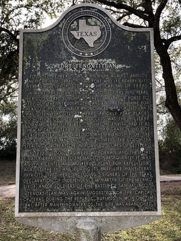
Fort Tenoxtitlan
"Dream Capital of Texas"
— (Site About 8 Miles Northeast) —
Alarmed by the influx of Anglo settlers into Texas, Mexico in 1830 sought to erect a line of forts to keep out the intruders. The ancient Aztec name for Mexico City (originally pronounced "Ten-ox-teet-lan") was given this site; it means "prickly pear place". So hopeful of the fort's success was the military commandant of the region that he envisioned it as the capital of Texas. But Anglo immigration did not cease. Instead it thrived on the friendship of the local soldiers and incoming pioneers. The colonizer Sterling C. Robertson introduced scores of settlers.
In 1832 the soldiers were withdrawn and the fort finally defaulted to the Anglos. Subsequently it was a supply center and mustering point for expeditions against the Indians. During its brief life many Texas patriots lived here, including 5 signers of the Texas Declaration of Independence, a martyr of the Alamo siege, and 7 soldiers of the Battle of San Jacinto.
Tenoxtitlan was again suggested for the capital of Texas during the Republic, but Austin won out. In 1841, after many Indian raids, the site was abandoned.
Erected 1970 by State Historical Survey Committee . (Marker Number 8634.)
Topics. This historical marker is listed in these topic lists: Forts and Castles • Settlements & Settlers. A significant historical year for this entry is 1830.
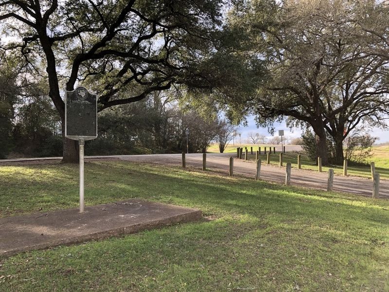
Location. 30° 34.866′ N, 96° 38.12′ W. Marker is near Caldwell, Texas, in Burleson County. Marker is on Presidential Corridor East (State Highway 21) east of County Road 214, on the right when traveling east. Marker is located in a roadside park roughly 4.5 miles east of Caldwell. Touch for map. Marker is in this post office area: Caldwell TX 77836, United States of America. Touch for directions.
Other nearby markers. At least 8 other markers are within 3 miles of this marker, measured as the crow flies. Elizabeth Chapel Methodist Church (within shouting distance of this marker); Duewall House (approx. 0.9 miles away); Kings Highway (approx. 1.8 miles away); Cooks Point (approx. 1.8 miles away); Near Homesite of Judge Andrew S. Broaddus (approx. 1.8 miles away); Kings Highway Camino Real — Old San Antonio Road (approx. 2.3 miles away); New Tabor Brethren Church (approx. 2½ miles away); New Tabor Cemetery (approx. 3 miles away). Touch for a list and map of all markers in Caldwell.
Also see . . . Fort Tenoxtitlán - The Handbook of Texas Online. Texas State Historical Association (TSHA) (Submitted on January 30, 2019, by Brian Anderson of Humble, Texas.)
Credits. This page was last revised on November 2, 2020. It was originally submitted on January 30, 2019, by Brian Anderson of Humble, Texas. This page has been viewed 2,429 times since then and 335 times this year. Photos: 1, 2. submitted on January 30, 2019, by Brian Anderson of Humble, Texas.

