Battle in East Sussex, England, United Kingdom — Northwestern Europe (the British Isles)
The Refectory
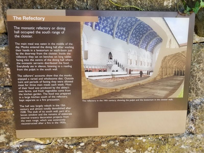
The main meal was eaten in the middle of the day. Monks entered the dining hall after washing their hands in a lavatorium or wash-basin just by the doorway from the cloister. Inside the refectory they sat on benches on long tables facing into the centre of the dining hall where the monastic servants distributed the food. Everybody ate in silence, listening to a reading from the pulpit in the south wall.
The cellarers' accounts show that the monks enjoyed a varied and wholesome diet. Outside Lent and periods of fasting they were allowed meat for three main meals each week. Most of their food was produced by the abbey's own farms, and fresh vegetables came from the kitchen garden. The food was prepared in a large kitchen south of the refectory, kept separate as a fire precaution.
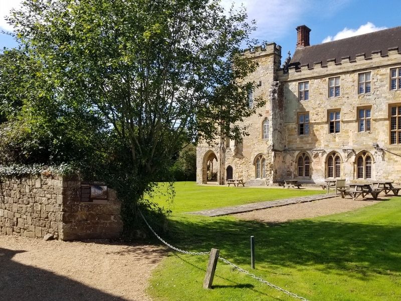
The hall was largely rebuilt in the 13th century and almost totally demolished after 1538. The stub of its south wall, part of a lancet window and the remains of elaborate internal tracery decoration projects from the west range, which was extensively reconstructed after a fire in the 1930s.
( photo caption )
- The refectory in the 14th century, showing the pulpit and the lavatorium in the cloister walk.
Topics. This historical marker is listed in these topic lists: Churches & Religion • Notable Events. A significant historical year for this entry is 1538.
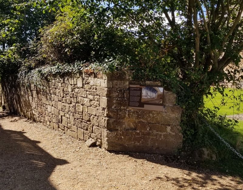
Location. 50° 54.85′ N, 0° 29.243′ E. Marker is in Battle, England, in East Sussex. Marker can be reached from the intersection of High Street and Park Lane, on the right when traveling south. Located next to Battle Abbey along the battlefield path at the Battle of Hastings Battlefield. Touch for map. Marker is in this post office area: Battle, England TN33 0AD, United Kingdom. Touch for directions.
Other nearby markers. At least 8 other markers are within walking distance of this marker. Parlour (here, next to this marker); The Dormitory (a few steps from this marker); The Chapter House (a few steps from this marker); The Cloister (within shouting distance of this marker); The 11th-century Church (within shouting distance of this marker); The High Altar of Battle Abbey (within shouting distance of this marker); East Range of Cloister (within shouting distance of this marker); Dairy and Icehouse (within shouting distance of this marker). Touch for a list and map of all markers in Battle.
Also see . . . English Heritage - 1066 Battle of Hastings, Abbey and Battlefield. (Submitted on January 31, 2019, by Michael Herrick of Southbury, Connecticut.)
Credits. This page was last revised on January 27, 2022. It was originally submitted on January 31, 2019, by Michael Herrick of Southbury, Connecticut. This page has been viewed 146 times since then and 11 times this year. Photos: 1, 2, 3. submitted on January 31, 2019, by Michael Herrick of Southbury, Connecticut.


