Bethesda in Montgomery County, Maryland — The American Northeast (Mid-Atlantic)
Old Georgetown Road
Topics. This historical marker is listed in these topic lists: Industry & Commerce • Roads & Vehicles. A significant historical year for this entry is 1940.
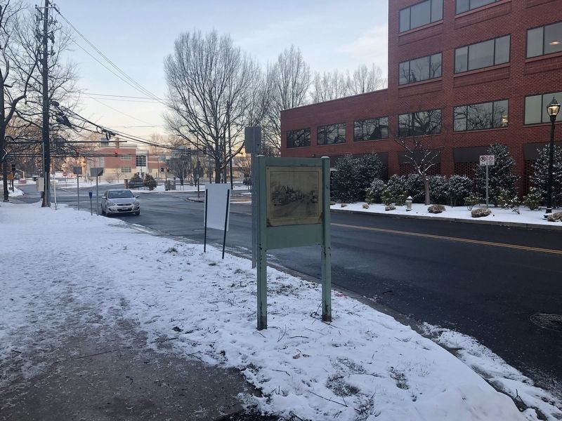
Location. 38° 59.162′ N, 77° 5.88′ W. Marker is in Bethesda, Maryland, in Montgomery County. Marker is on Moorland Lane east of Arlington Road, on the left when traveling west. Touch for map. Marker is at or near this postal address: 4820 Moorland Lane, Bethesda MD 20814, United States of America. Touch for directions.
Other nearby markers. At least 8 other markers are within walking distance of this marker. This Complex of Buildings and Gardens (within shouting distance of this marker); Looking North up Wisconsin Avenue at Old Georgetown Road in 1940 (within shouting distance of this marker); Locust Grove (about 300 feet away, measured in a direct line); a different marker also named Old Georgetown Road (about 300 feet away); Tennallytown and Rockville Railroad (about 300 feet away); Veterans Memorial (approx. 0.2 miles away); Robert W. Lebling (approx. 0.2 miles away); Five Points, historic crossroads (approx. 0.2 miles away). Touch for a list and map of all markers in Bethesda.
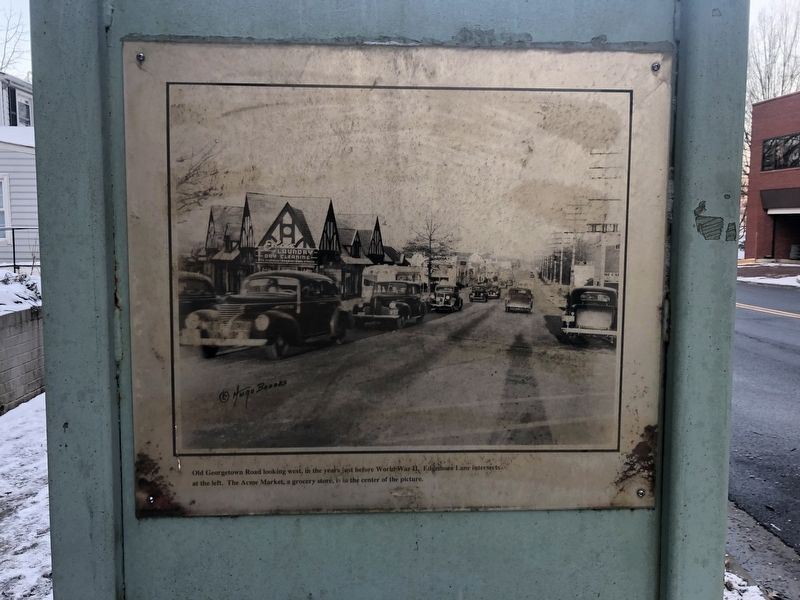
More about this marker. Later, Giant Food took over the Acme Market before moving to Arlington Road in the early 1960s. In the photograph on this marker, the Bank of Bethesda is just out of frame to the right.
Credits. This page was last revised on April 8, 2023. It was originally submitted on February 2, 2019, by Devry Becker Jones of Washington, District of Columbia. This page has been viewed 310 times since then and 23 times this year. Photos: 1, 2. submitted on February 2, 2019, by Devry Becker Jones of Washington, District of Columbia. • Bill Pfingsten was the editor who published this page.

