Tenterden in Kent, England, United Kingdom — Northwestern Europe (the British Isles)
This Building
Photographed by Michael Herrick
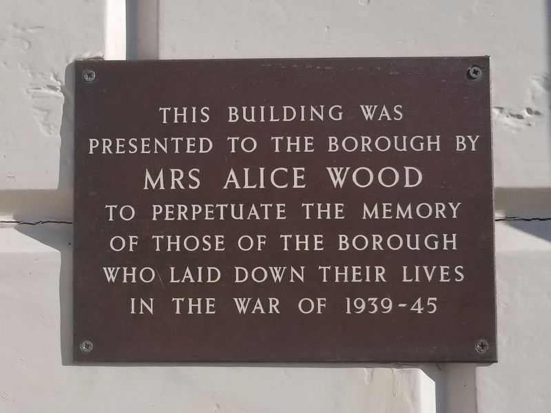
1. This Building Marker
Presented to the Borough by
Mrs Alice Wood
To Perpetuate the Memory
Of Those of the Borough
Who Laid Down Their Lives
In the War of 1939 - 1945
Topics. This memorial is listed in this topic list: War, World II. A significant historical year for this entry is 1939.
Location. 51° 4.078′ N, 0° 41.212′ E. Memorial is in Tenterden, England, in Kent. It is at the intersection of High Street and Six Fields Path, on the right when traveling east on High Street. Touch for map. Memorial is at or near this postal address: 55 High Street, Tenterden, England TN30 6EN, United Kingdom. Touch for directions.

Regionally, this memorial is in the Greater South East. Globally, it is on the Atlantic Ocean, in the North Atlantic Region, in Europe, in Atlantic Europe, on one of the British Isles, in the Western World, and in the Anglosphere. Historically, it finds itself in what was once the Roman Empire.
Other nearby markers. At least 8 other markers are within walking distance of this marker: Mayor Samuel Boorman (about 150 meters away, measured in a direct line); Leslie Chalk (about 150 meters away);
this page online
Photographed by Michael Herrick
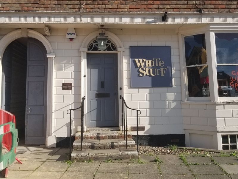
2. This Building Marker
Photographed by Michael Herrick
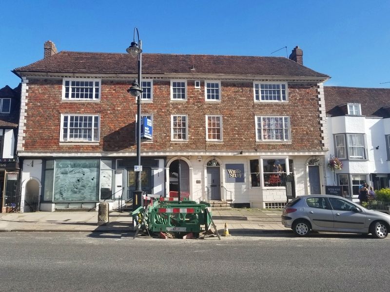
3. This Building Marker
Credits. This page was last revised on January 27, 2022. It was originally submitted on February 3, 2019, by Michael Herrick of Southbury, Connecticut. This page has been viewed 177 times since then and 8 times this year. Photos: 1, 2, 3. submitted on February 3, 2019, by Michael Herrick of Southbury, Connecticut.
