Canterbury in Kent, England, United Kingdom — Northwestern Europe (the British Isles)
James Simmons
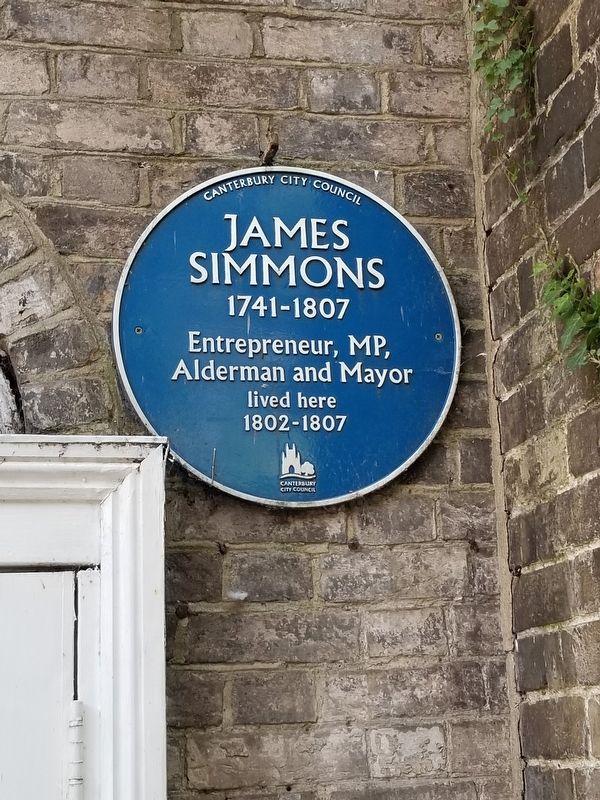
Photographed by Michael Herrick, September 10, 2018
1. James Simmons Marker
James
Simmons
Entrepreneur, MP,
Alderman and Mayor
lived here
1802 - 1807
Topics. This historical marker is listed in this topic list: Industry & Commerce. A significant historical year for this entry is 1802.
Location. 51° 16.798′ N, 1° 4.717′ E. Marker is in Canterbury, England, in Kent. It is at the intersection of High Street and Best Lane, on the right when traveling north on High Street. Touch for map. Marker is at or near this postal address: 23 High Street, Canterbury, England CT1 2AY, United Kingdom. Touch for directions.

Regionally, this marker is in the Greater South East. Globally, it is on the Atlantic Ocean, in the North Atlantic Region, in Europe, in Atlantic Europe, on one of the British Isles, in the Western World, and in the Anglosphere. Historically, it finds itself in what was once the Roman Empire.
Other nearby markers. At least 8 other markers are within walking distance of this marker: High Street Bridge (here, next to this marker); Aphra Behn (a few steps from this marker); Christopher Marlowe (about 90 meters away, measured in a direct line); Royal East Kent Yeomanry Memorial
this page online
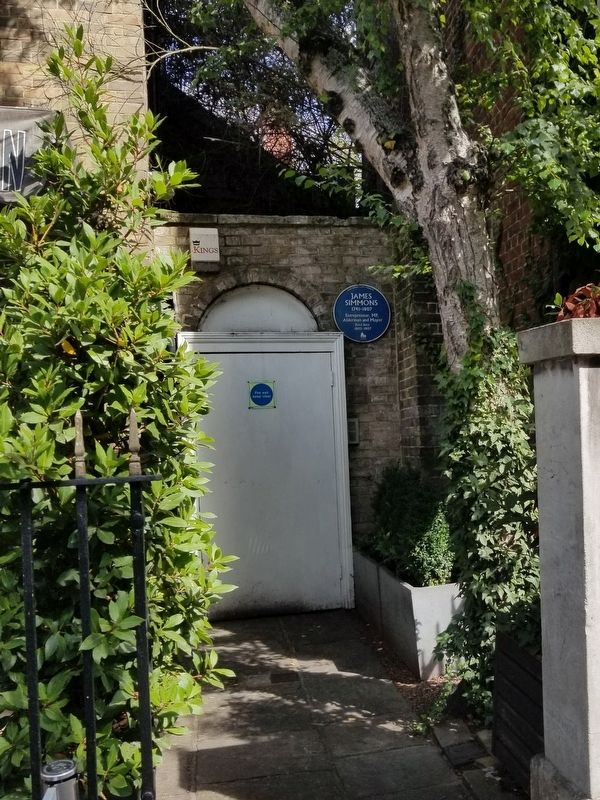
Photographed by Michael Herrick
2. James Simmons Marker
Credits. This page was last revised on January 27, 2022. It was originally submitted on February 3, 2019, by Michael Herrick of Southbury, Connecticut. This page has been viewed 233 times since then and 10 times this year. Photos: 1, 2. submitted on February 3, 2019, by Michael Herrick of Southbury, Connecticut.
