Downtown in Norfolk, Virginia — The American South (Mid-Atlantic)
St. Joseph’s Catholic Church & School
Photographed by Brandon D Cross, January 19, 2019
1. St. Joseph’s Catholic Church & School Marker
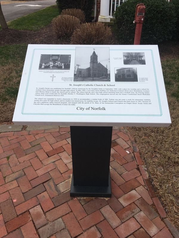
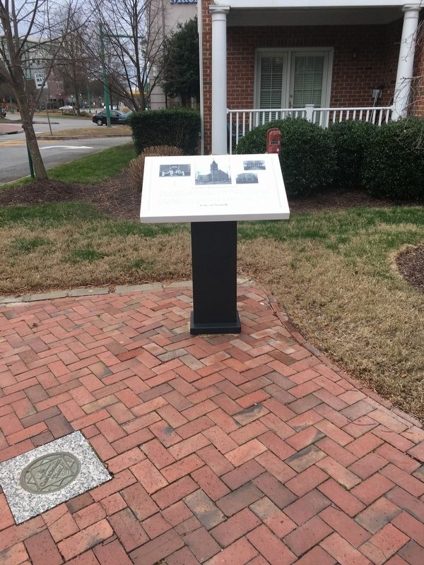
St. Joseph’s Parrish was established for Norfolk’s African Americans by the Josephite Order in September 1889, with a place of worship and a school for students from elementary grades through high school. In May 1893, a two-story brick building was dedicated at Queen Street (now Brambleton Avenue) near Brewer Street to house the church and its school. The school had the city’s first high school marching band and a football team, the Praying Saints, whose chief rival would later be Norfolk’s Booker T. Washington High School. The congregation moved into the former Cumberland Street Methodist Church on Freemason Street in 1932.
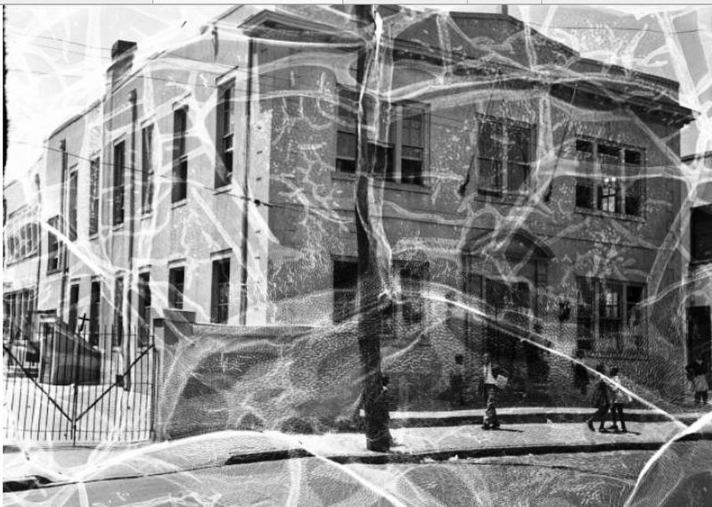
The school was expanded to twelve classrooms in 1928 to accommodate a student body of 800. Tuition was ten cents a week for elementary students, twenty-five cents for high school, and no student was turned away for inability to pay. St. Joseph’s School and Church shut their doors in 1961, because of the city’s ambitious urban renewal program, and merged with the parish of St. Mary of the Immaculate Conception on Chapel Street. Scope Arena and Chrysler Hall occupy the Brambleton Avenue site today.
(captions)
(left)
this page online
(center) The former Cumberland Street Methodist Church, occupied by St. Joseph's from 1932 to 1961.
(top right) St. Joseph’s Church, interior ca 1914
(right) St. Joseph’s School as it appeared after the extensive 1928 renovations.
Erected by City of Norfolk.
Topics. This historical marker is listed in these topic lists: African Americans • Civil Rights • Education • Religion & Religious Structures. A significant historical month for this entry is September 1889.
Location. 36° 50.987′ N, 76° 17.142′ W. Marker is in Norfolk, Virginia. It is in Downtown. It is at the intersection of East Freemason Street and Cumberland Street, on the right when traveling east on East Freemason Street. Touch for map. Marker is in this post office area: Norfolk VA 23510, United States of America. Touch for directions.

Regionally, this marker is in Hampton Roads, specifically in Coastal Virginia, and in the Hampton Roads Metropolitan Area. It is also in the American South, specifically in the Upper South, in the Tidewater,
Photographed by Brandon D Cross, January 19, 2019
2. St. Joseph’s Catholic Church & School Marker
Other nearby markers. At least 8 other markers are within walking distance of this marker: Willoughby-Baylor House, 1794 (within shouting distance of this marker); Francis Drake, Free Black Barber (within shouting distance of this marker); Freemason Street Baptist Church (about 400 feet away, measured in a direct line); Whitehead House, 1791 (about 400 feet away); The Cannonball Trail (about 500 feet away); Moses Myers House, 1792 (about 500 feet away); Bank Street Baptist Church (about 600 feet away); St. Paul’s Church, 1739 (about 700 feet away). Touch for a list and map of all markers in Norfolk.
Norfolk Public Library
3. St. Joseph’s Catholic Church & School Marker
St. Joseph's School ca 1940
Credits. This page was last revised on August 14, 2025. It was originally submitted on February 6, 2019, by Brandon D Cross of Flagler Beach, Florida. This page has been viewed 2,330 times since then and 166 times this year. Photos: 1, 2, 3. submitted on February 6, 2019, by Brandon D Cross of Flagler Beach, Florida. • Bernard Fisher was the editor who published this page.
