Algiers in Orleans Parish, Louisiana — The American South (West South Central)
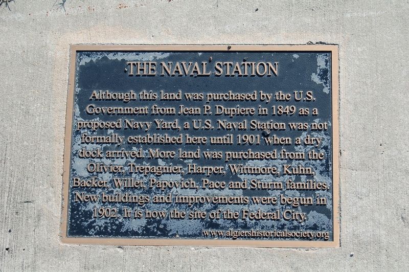
The Naval Station
Although this land was purchased by the U.S. Government from Jean P. Dupiere in 1849 as a proposed Navy Yard, a U.S. Naval Station was not formally established here until 1901 when a dry dock arrived. More land was purchased from the Olivier, Trepagnier, Harper, Wittmore, Kuhn, Backer, Willet, Papovich and Sturm families. New buildings and improvements were begun in 1902. It is now site of the Federal City.
Erected by www.algiershistoricalsociety.org.
Topics. This historical marker is listed in these topic lists: Government & Politics • Military.
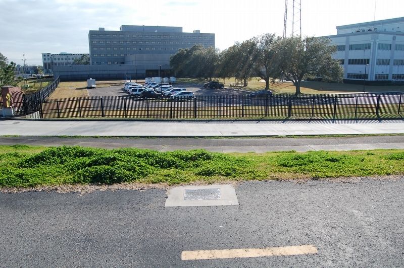
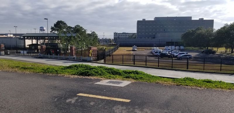
Location. 29° 57.179′ N, 90° 2.174′ W. Marker is in Algiers, Louisiana, in Orleans Parish. Marker can be reached from Patterson Street, 0.2 miles south of Hendee Street. Located on the Mississippi River Trail, atop the levee. Touch for map. Marker is in this post office area: New Orleans LA 70114, United States of America. Touch for directions.
Other nearby markers. At least 8 other markers are within walking distance of this marker. Verret Plantation (approx. 0.4 miles away); Southern Pacific Railroad Yards (approx. half a mile away); Olivier Plantation House & St. Mary's Orphanage (approx. half a mile away); Olivier Plantation House (approx. half a mile away); Dr. Lord Beaconsfield Landry (approx. ¾ mile away); Ninth Ward WWI Memorial (approx. ¾ mile away); Mello Residence (approx. 0.8 miles away); Valentine Residence (approx. 0.9 miles away). Touch for a list and map of all markers in Algiers.
More about this marker. Located on the Mississippi River Trail, a levee top bicycle/walking trail. NO MOTORIZED VEHICLES. Easy Access to this marker is located at the terminus of Hendee Street on a levee concrete stairway.
Credits. This page was last revised on February 12, 2023. It was originally submitted on February 8, 2019, by Cajun Scrambler of Assumption, Louisiana. This page has been viewed 244 times since then and 11 times this year. Photos: 1, 2, 3. submitted on February 8, 2019.


