Sequim in Clallam County, Washington — The American West (Northwest)
How Did the Station Get Supplies?
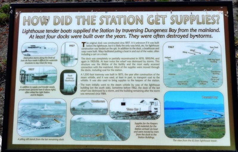
Lighthouse tender boats supplied the Station by traversing Dungeness Bay from the mainland. At least four docks were built over the years. They were often destroyed by storms.
The original dock was constructed circa 1857. It is unknown if it was built before the lighthouse, but it is likely the only way brick, etc. for lighthouse construction was landed on the spit. In addition to the dock, a boathouse and ways were built. Ways facilitated putting a boat in and out of the water, often including a cart on a track.
The dock was completely or partially reconstructed in 1878, 1893/94, and again in 1905/06. At least twice the wharf was destroyed by storms. This structure was the lifeline of the facility and the most easily accessed connection with the mainland. Most of the supplies were moved through the docks, including coal for the station.
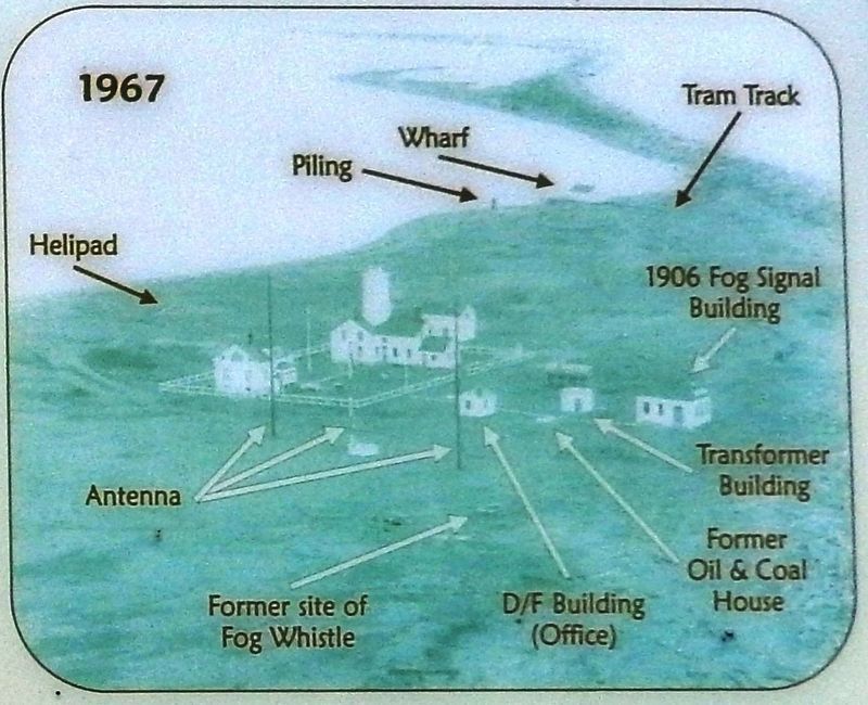
A 1,350 foot tramway was built in 1875, the year after construction of the steam whistle, and it was used, at least in part, to transport coal to the whistle. It was also used to bring supplies to the keepers of the station.
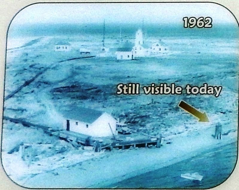
The tram initially went to the steam whistle by way of the lighthouse building (on the south side). Sometime before 1962, the dock of the last wharf was destroyed by a storm, and the building remaining after the storm was removed circa 1984.
(marker photo captions)
Destructive storms along the Strait of Juan de Fuca made it difficult for waterside structures to stay intact for long.
In addition to supply and transfer vessels, private boats (pictured here & above right), often visited the Light Station and its Keepers.
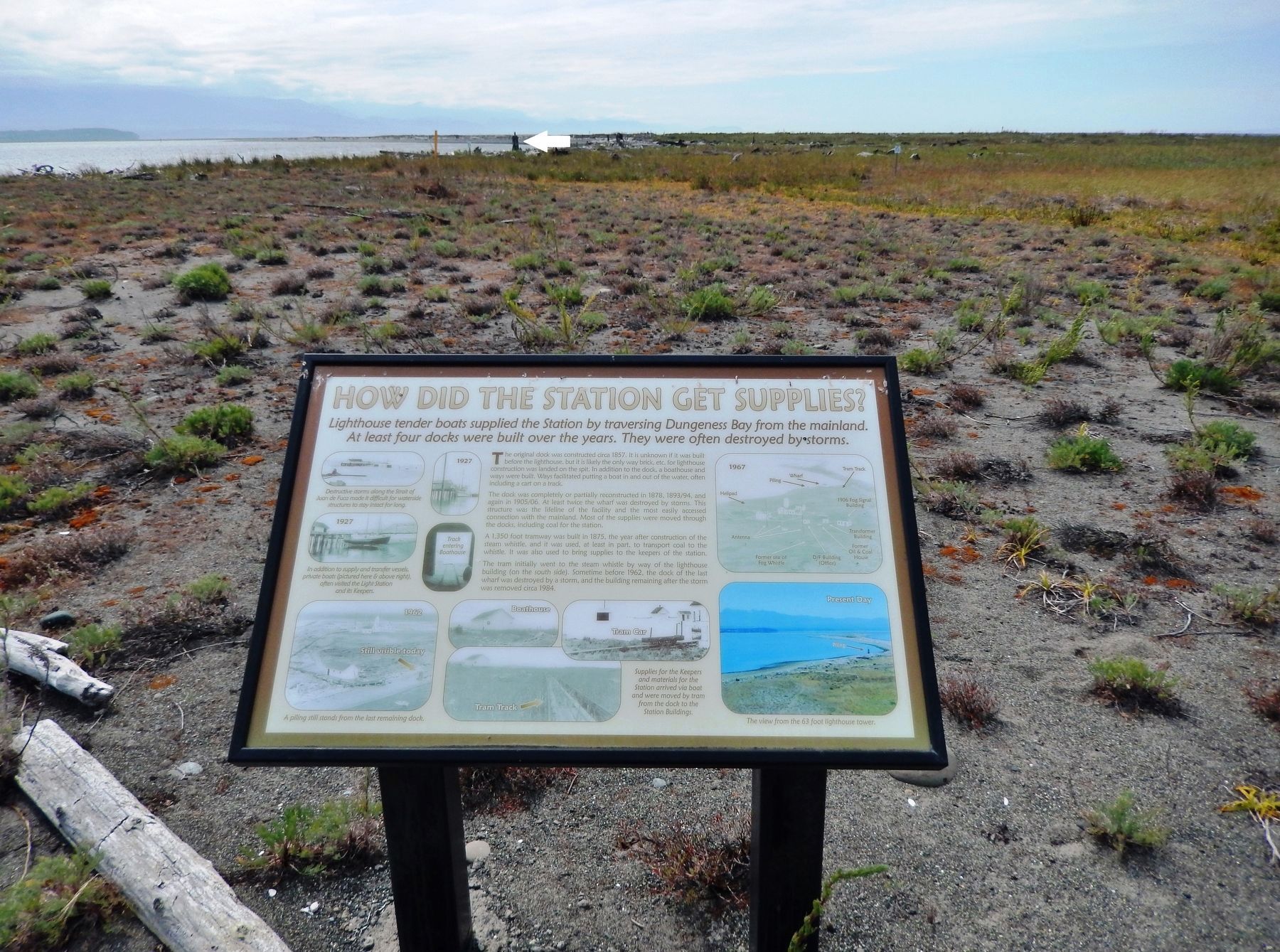
A piling still stands from the last remaining dock.
Supplies for the Keepers and materials for the Station arrived via boat and were moved by tram from the dock to the Station Buildings.
The view from the 63 foot lighthouse tower.
Topics and series. This historical marker is listed in these topic lists: Communications • Waterways & Vessels. In addition, it is included in the Lighthouses series list.
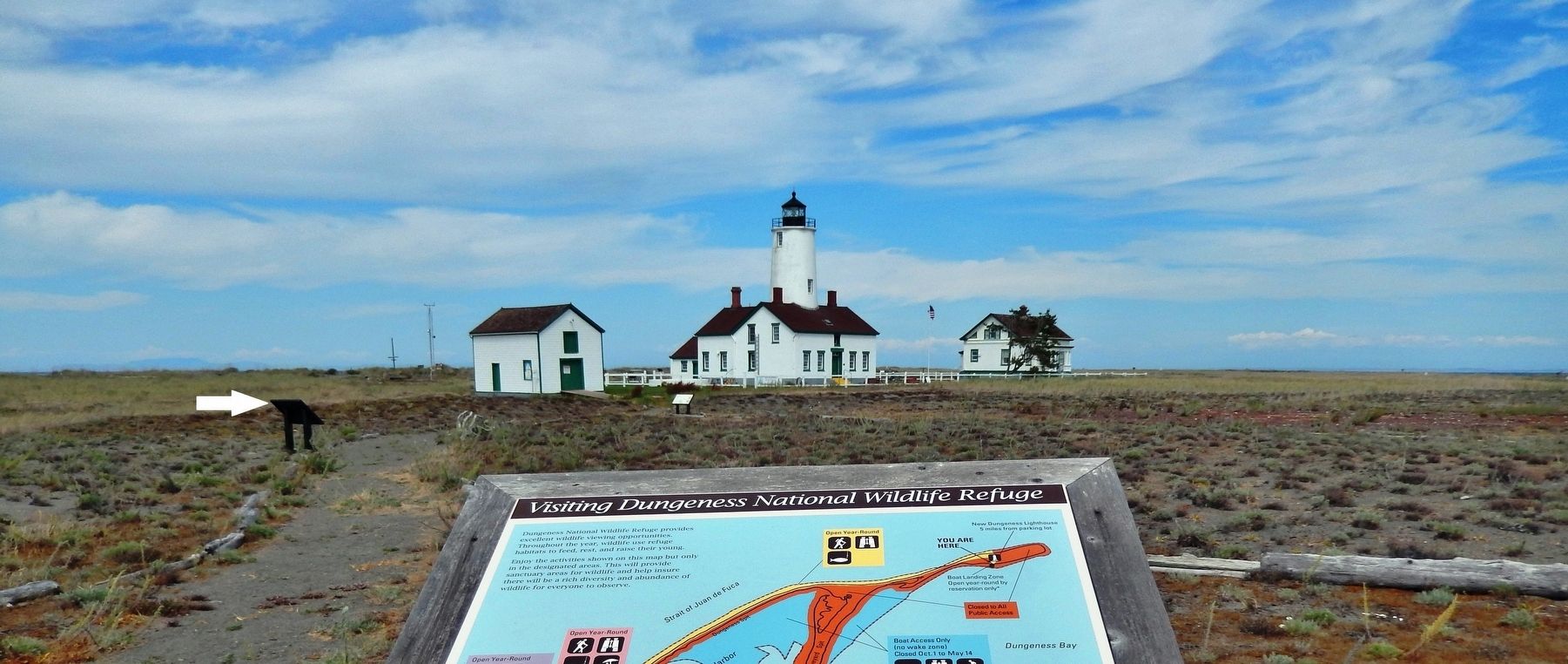
Location. 48° 10.869′ N, 123° 6.683′ W. Marker is in Sequim, Washington, in Clallam County. Marker can be reached from Voice of America Road West, 1.1 miles north of Lotzgesell Road when traveling north. Marker is located near the subject lighthouse, at the tip of Dungeness Spit, which is part of the Dungeness National Wildlife Refuge. It is a 5.5 mile hike across the Spit, (or boat ride), from the refuge parking lot out to the lighthouse, and is only open between May 15th and Sep 30th. Touch for map. Marker is at or near this postal address: 554 Voice of America Road West, Sequim WA 98382, United States of America. Touch for directions.
Other nearby markers. At least 1 other marker is within walking distance of this marker. New Dungeness Light Station History (within shouting distance of this marker).
More about this marker. Marker is a large, framed composite plaque, mounted horizontally on waist-high metal posts.
Related markers. Click here for a list of markers that are related to this marker. New Dungeness Light Station
Also see . . . New Dungeness Light Station. The New Dungeness Light Station remains essentially the same as when it was remodeled in 1927. The Georgian-Style head keeper's house, built in 1905, has been restored to its original condition. The lighthouse and buildings are all painted the traditional white with red roofs and sea-green trim. The light station, originally built about 800 feet from the spit’s end, now sits over one-half mile west of the tip. The peninsula continues to grow 15 to 30 feet each year as silt from the New Dungeness River and sand accumulate at the east end. (Submitted on February 8, 2019, by Cosmos Mariner of Cape Canaveral, Florida.)
Credits. This page was last revised on January 8, 2024. It was originally submitted on February 8, 2019, by Cosmos Mariner of Cape Canaveral, Florida. This page has been viewed 168 times since then and 18 times this year. Photos: 1, 2, 3, 4, 5. submitted on February 8, 2019, by Cosmos Mariner of Cape Canaveral, Florida. • Bill Pfingsten was the editor who published this page.
