
Horsham in West Sussex, England, United Kingdom — Northwestern Europe (the British Isles)
Chennelsbrook Castle
Photographed by Michael Herrick, September 12, 2018
1. Chennelsbrook Castle Marker
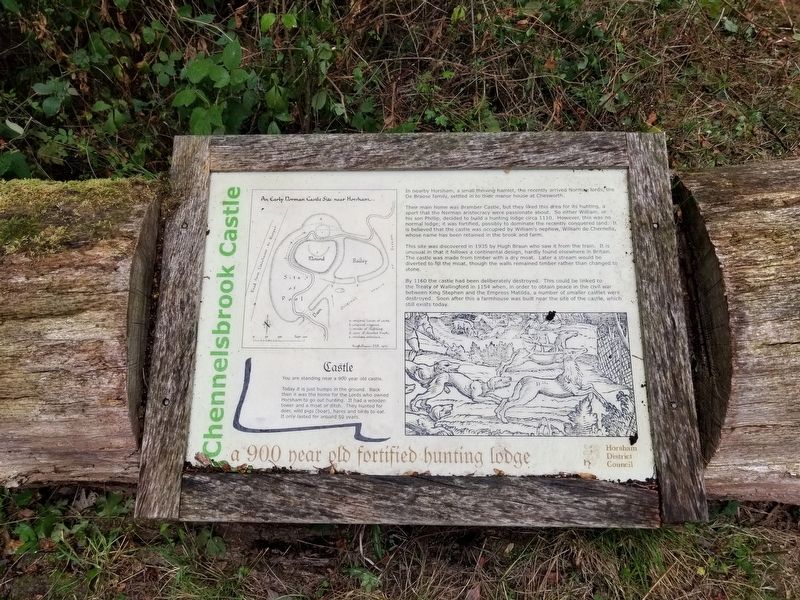
An Early Norman Castle Site near Horsham
a 900 year old fortified hunting lodge
Castle
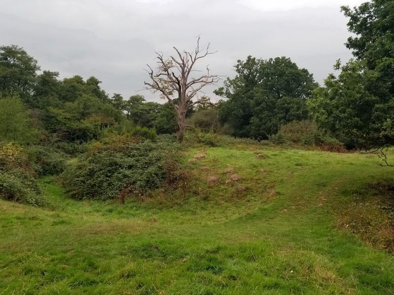
Today it is just bumps in the ground. Back then it was the home for the Lords who owned Horsham to go out hunting. It had a wooden tower and a moat or ditch. They hunted for deer, wild pigs (boar), hares and birds to eat. It only lasted for around 50 years.
In nearby Horsham, a small thriving hamlet, the recently arrived Norman lords, the De Braose family, settled in to their manor house at Chesworth.
Their main home was Bramber Castle, but they liked this area for its hunting, a sport that the Norman aristocracy were passionate about. So either William, or his son Phillip, decided to build a hunting lodge circa 1110. However, this was no normal lodge; it was fortified, possibly to dominate the recently conquered land. It is believed that the castle was occupied by William's nephew, William de Chernella, whose name has been retained in the brook and farm.
This site was discovered in 1935 by Hugh Braun who saw it from the train. It is unusual in that
this page online
By 1160 the castle had been deliberately destroyed. This could be linked to the Treaty of Wallingford in 1154 when, in order to obtain peace in the civil war between King Stephen and the Empress Matilda, a number of smaller castles were destroyed. Soon after this a farmhouse was built near the site of the castle, still exists today.
Topics. This historical marker is listed in this topic list: Forts and Castles.
Location. 51° 5.127′ N, 0° 18.298′ W. Marker is in Horsham, England, in West Sussex. It is at the intersection of Lemmington Way and Petworth Drive, on the right when traveling west on Lemmington Way. Touch for map. Marker is in this post office area: Horsham, England RH12 5JH, United Kingdom. Touch for directions.

Regionally, this marker is in the Greater South East. Globally, it is on the Atlantic Ocean, in the North Atlantic Region,
Photographed by Michael Herrick, September 12, 2018
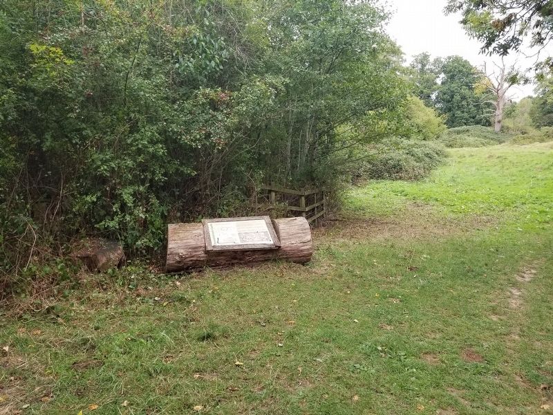
2. Chennelsbrook Castle Marker
Other nearby markers. At least 8 other markers are within 18 kilometers of this marker, measured as the crow flies: Rusper War Memorial (approx. 4.5 kilometers away); Newdigate War Memorial (approx. 8.9 kilometers away); Dorking War Memorial (approx. 16.3 kilometers away); The Upper Chequers Inn (approx. 16.4 kilometers away); Dorking in the Year 2000 (approx. 16.4 kilometers away); The White Horse and Cattle Market (approx. 16.5 kilometers away); St Martin's Church (approx. 16.5 kilometers away); Thomas Cubitt (approx. 16.7 kilometers away).
Photographed by Michael Herrick, September 12, 2018
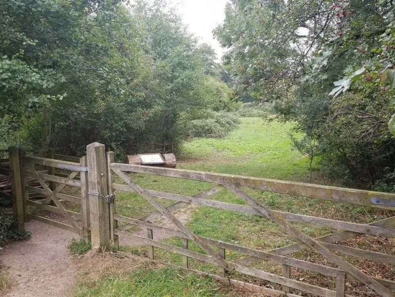
3. Chennelsbrook Castle Marker
Photographed by Michael Herrick, September 12, 2018
4. Chennelsbrook Castle
The wooden tower on the mound was near the tree. The ditch on the left would have been the moat.
Credits. This page was last revised on January 27, 2022. It was originally submitted on February 11, 2019, by Michael Herrick of Southbury, Connecticut. This page has been viewed 627 times since then and 66 times this year. Photos: 1, 2, 3, 4. submitted on February 11, 2019, by Michael Herrick of Southbury, Connecticut.
