Near Truckee in Nevada County, California — The American West (Pacific Coastal)
Shelter From the Storm
Photographed by Barry Swackhamer, April 26, 2018
1. Shelter From the Storm Marker
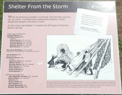
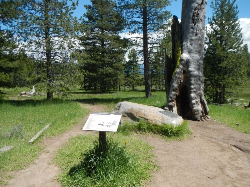
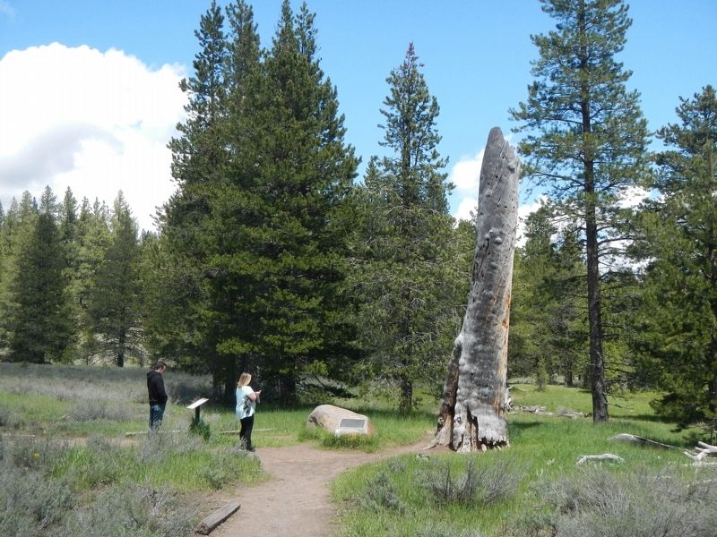
Caption: The large ponderosa pine snag and downed log in front of you was once thought to be the tree that supported the George and Tamzene family shelter. Survivor and rescuer accounts state that the actual shelter tree was cut down for firewood that winter. An archaeological excavation revealed no evidence of a campsite at this tree. However, evidence of a Donner campsite was found a short distance from here.
As the snow got deeper, it wiped out all hope of leaving before spring.
People (age) at Alder Creek
George Donner (62)
Tamzene Donner (45)
Children
Elitha Donner (14) - survived
Leanna Donner (12) - survived
Frances Donner (6) - survived
Georgia Donner (4) - survived
Eliza Donner (3) - survived
Dorothea Wolfinger (19) - survived
(widowed while crossing the desert - befriended by the Donners)
Jacob Donner (56)
(George's Brother)
Elizabeth Donner (40)
Children
Solomon Hook (14) - survived
William Hook (12)
George Donner, Jr. (9) - survived
Mary Donner (7) - survived
Isaac Donner (5)
Samuel Donner (4)
Lewis Donner (3)
Teamsters and single men
John Baptiste Trudeau (16) - survived
Noah James (16) - survived
Antonio (23)
James Smith (25)
John Denton (28)
Joseph Reinhardt (30)
Samuel Shoemaker (25)
(Side bar at top right:)
We camped by a tall pine tree, we cut poles and stood them up around the tree and cut brush around the tree to serve until we could build a house. But the snow came and that was all we had with our tents.
Elitha Donner Wilder
this page online
(14 years old during the winter of 1846-47)
Erected by Tahoe National Forest.
Topics. This historical marker is listed in these topic lists: Disasters • Settlements & Settlers.
Location. 39° 22.612′ N, 120° 10.741′ W. Marker is near Truckee, California, in Nevada County. It is on California Route 89 near Alder Creek Road. Touch for map. Marker is at or near this postal address: 12893 California Highway 89, Truckee CA 96161, United States of America. Touch for directions.

Regionally, this marker is in the Sierra Nevada. It is also in the American Mountain West. Globally, it is in North America, on the Ring of Fire, on the Pacific Rim, in the Western Hemisphere, in the Western World, and in the Anglosphere. Historically, it finds itself in what was once New Spain and also Mexico’s Alta California.
Other nearby markers. At least 8 other markers are within walking distance of this marker: Donner Camp Tree (here, next to this marker); Donner Camp Site (a few steps from this marker); The Fight to Stay Alive (within shouting distance of this marker); The Nightmare Begins
Photographed by Barry Swackhamer, April 26, 2018
2. Shelter From the Storm Marker
More about this marker. This marker is located on the Donner Camp Historic Trail.
Also see . . . Donner Party - Wikipedia. Historians have described the episode as one of the most bizarre and spectacular tragedies in Californian history and western-US migration (Submitted on February 13, 2019, by Barry Swackhamer of Brentwood, California.)
Photographed by Barry Swackhamer, April 26, 2018
3. Shelter From the Storm Marker
Photographed by A.A. Hart, circa 1867
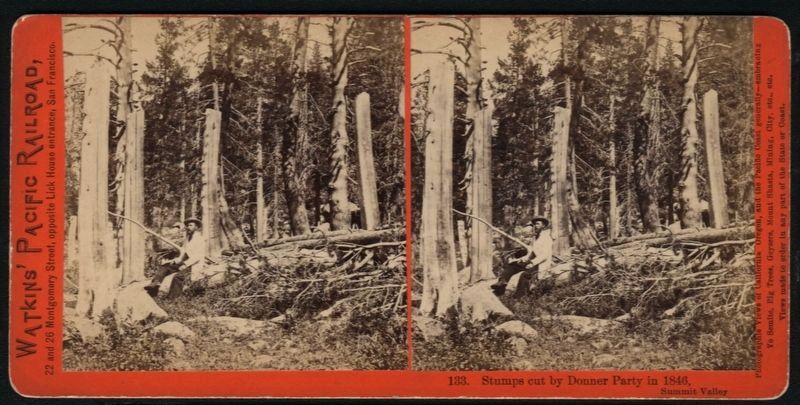
4. Stumps cut by Donner Party in 1846
Credits. This page was last revised on February 13, 2019. It was originally submitted on February 13, 2019, by Barry Swackhamer of Brentwood, California. This page has been viewed 887 times since then and 55 times this year. Photos: 1, 2, 3, 4. submitted on February 13, 2019, by Barry Swackhamer of Brentwood, California.
