Marker Logo HMdb.org THE HISTORICAL
MARKER DATABASE
“Bite-Size Bits of Local, National, and Global History”
Folkston in Charlton County, Georgia — The American South (South Atlantic)
 

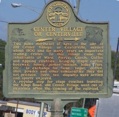
Center Village or Centerville

--- 2 mi. --->


Center Village or Centerville Marker image. Click for full size.
Photographed By Mike Stroud, October 22, 2008
1. Center Village or Centerville Marker
Inscription. Two miles Northeast of here is the site of old Center Village, or Centerville, settled about 1800 and for many years an important trading center. To this village came the inhabitants of Ware, Pierce, Clinch, Coffee and Appling Counties, bringing staple cotton, beeswax, honey, jerked venison, hides, furs, etc., to exchange for flour, sugar, coffee, shot, powder and other commodities they did not produce. Here, too, disputes were settled and sports enjoyed. A regular stop for stage coaches traveling the King's Road, old Center Village went out of existence after the coming of the railroad.
 
Erected 1958 by Georgia Historical Commission. (Marker Number 024-8.)
 
Topics and series. This historical marker is listed in these topic lists: Industry & CommerceSettlements & Settlers. In addition, it is included in the Georgia Historical Society series list. A significant historical year for this entry is 1800.
 
Location. 30° 49.966′ N, 82° 0.375′ W. Marker is in Folkston, Georgia, in Charlton County. Marker is at the intersection of E. Love St. and US1/ US301 ( N. 2nd St ), on the left when traveling east on E. Love St.. Touch for map. Marker is in this post office area: Folkston GA 31537, United States of America. Touch for directions.
 
Other nearby markers. At least 8 other markers are within 3 miles of this marker, measured as the crow flies. Central Dixie Highway (about 400 feet away,
Paid Advertisement
Click on the ad for more information.
Please report objectionable advertising to the Editor.
Click or scan to see
this page online
measured in a direct line); Charlton County (about 500 feet away); Henry Roddenberry (about 500 feet away); Okefenokee Swamp (approx. ¼ mile away); Sardis Church (approx. 2.6 miles away); Trader's Hill (Fort Alert) (approx. 3 miles away); Oldest Industry in Charlton (approx. 3 miles away); First Masonic Lodge in Charlton County (approx. 3 miles away). Touch for a list and map of all markers in Folkston.
 
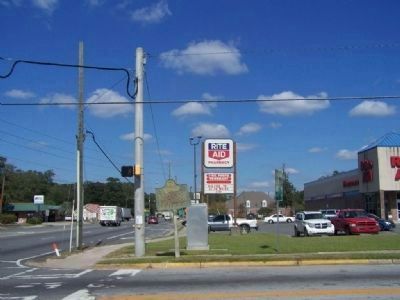
Center Village or Centerville Marker, US 1/ US 301 at left image. Click for full size.
Photographed By Mike Stroud, 2008
2. Center Village or Centerville Marker, US 1/ US 301 at left
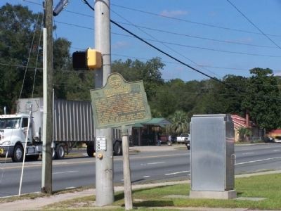
Center Village or Centerville Marker along E. Love Street image. Click for full size.
Photographed By Mike Stroud, 2008
3. Center Village or Centerville Marker along E. Love Street
 
 
Credits. This page was last revised on November 24, 2019. It was originally submitted on October 26, 2008, by Mike Stroud of Bluffton, South Carolina. This page has been viewed 1,518 times since then and 48 times this year. Photos:   1, 2, 3. submitted on October 26, 2008, by Mike Stroud of Bluffton, South Carolina. • Bill Pfingsten was the editor who published this page.
Share this page.  
Share on Tumblr
m=12993

CeraNet Cloud Computing sponsors the Historical Marker Database.
This website earns income from purchases you make after using our links to Amazon.com. We appreciate your support.
Paid Advertisement
Apr. 19, 2024