Millcreek Township near Erie in Erie County, Pennsylvania — The American Northeast (Mid-Atlantic)
The Flashlight
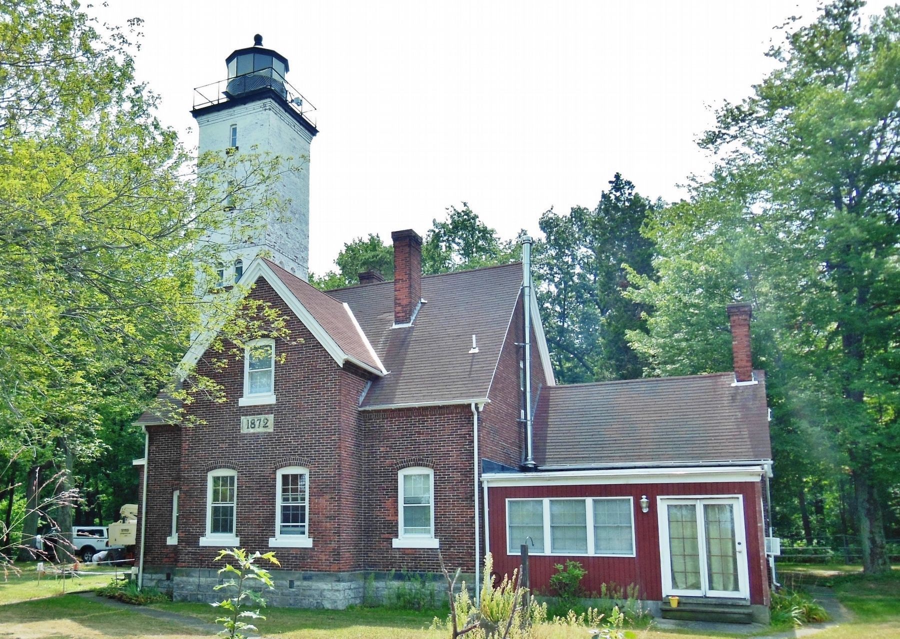
Presque Isle Lighthouse
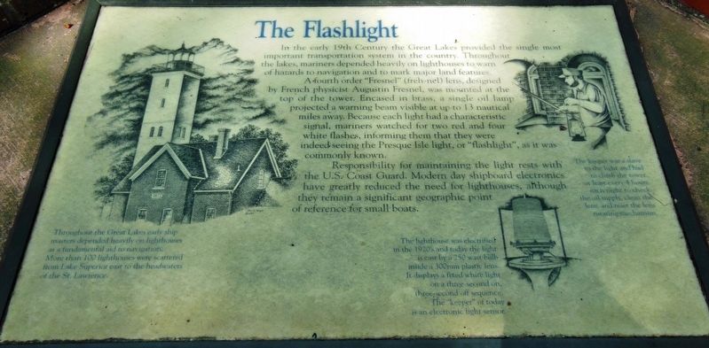
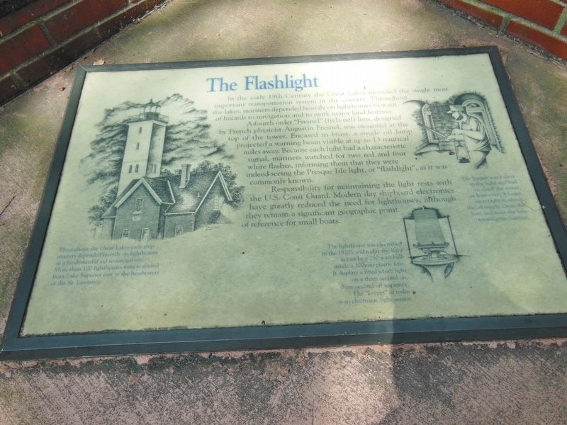
In the early 19th Century the Great Lakes provided the single most important transportation system in the country. Throughout the lakes, mariners depended heavily on lighthouses to warn of hazards to navigation and to mark major land features.
A fourth order “Fresnel” (freh-nel) lens, designed by French physicist Augustin Fresnel, was mounted at the top of the tower. Encased in brass, a single oil lamp projected a warning beam visible at up to 13 nautical miles away. Because each light had a characteristic signal, mariners watched for two red and four white flashes, informing them that they were indeed seeing the Presque Isle light or “flashlight,” as it was commonly known.
Responsibility for maintaining the light rests with the U.S. Coast Guard. Modern day shipboard electronics have greatly reduced the need for lighthouses, although they remain a significant geographic point of reference for small boats.
Throughout the Great Lakes early ship masters depended heavily on lighthouses as a fundamental aide to navigation. More than 100 lighthouses were scattered from Lake Superior east to the headwaters of the St. Lawrence.
The keeper was a slave to the light and had to climb the tower at least every 4 hours each night to check the oil supply, clean the lens, and reset the lens rotating mechanism.
The lighthouse was electrified in the 1920’s and today the light is cast by a 250 watt bulb inside a 300mm plastic lens. It displays a fixed white light on a three-second on, three-second off sequence. The “keeper” of today is an electronic light sensor.
Topics and series. This historical marker is listed in these topic lists: Landmarks • Notable Buildings. In addition, it is included in the Lighthouses series list.
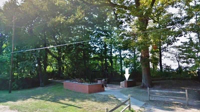
Location. 42° 9.952′ N, 80° 6.838′ W. Marker is near Erie, Pennsylvania, in Erie County. It is in Millcreek Township. Marker can be reached from Peninsula Drive, 0.6 miles east of Fisher Drive, on the left when traveling east. Marker is located along the walkway on the north side of Peninsula Drive, inside the courtyard on the west side of the Presque Isle Lighthouse parking lot. Touch for map. Marker is at or near this postal address: 301 Peninsula Drive, Erie PA 16507, United States of America. Touch for directions.
Other nearby markers. At least 8 other markers are within 2 miles of this marker, measured as the crow flies. The Peninsula's First Roadway (here, next to this marker); The Loneliest Place on Earth (here, next to this marker); Five Courses Thick (here, next to this marker); The Perry Monument (approx. 1.4 miles away); Budny Beach (approx. 1.4 miles away); A Climate For War (approx. 1.4 miles away); Preparing For Battle (approx. 1.4 miles away); And the Misery begins… (approx. 1˝ miles away). Touch for a list and map of all markers in Erie.
More about this marker. Marker is a framed, composite plaque, mounted horizontally, at waist-level, on a concrete slab atop a brick pedestal.
Related markers. Click here for a list of markers that are related to this marker. Presque Isle Lighthouse
Also see . . . Presque Isle Lighthouse History. Presque Isle Lighthouse website homepge:
For much of its early history the lighthouse, known commonly as the Flash Light, was lit by an oil lamp burning inside a Fresnel Lens, which then expanded the light source into a stronger beam. There has been much discussion about the type of fuel (oil) used. Many lighthouses of the time used whale oil, but it is nearly certain this was never used at the Presque Isle Lighthouse. Being so close to the oil country of Venango County, PA, it would seem logical that some type of kerosene was used. However, there is additional support for the theory that it could even have been a vegetable-based oil that was kept burning for years at the lighthouse. It was referred to, at times, as “mineral oil,” though its exact composition is still being studied. (Submitted on February 16, 2019, by Cosmos Mariner of Cape Canaveral, Florida.)
Credits. This page was last revised on February 7, 2023. It was originally submitted on February 15, 2019, by Cosmos Mariner of Cape Canaveral, Florida. This page has been viewed 223 times since then and 9 times this year. Photos: 1, 2, 3, 4. submitted on February 16, 2019, by Cosmos Mariner of Cape Canaveral, Florida. • Bill Pfingsten was the editor who published this page.


