New Braunfels in Comal County, Texas — The American South (West South Central)
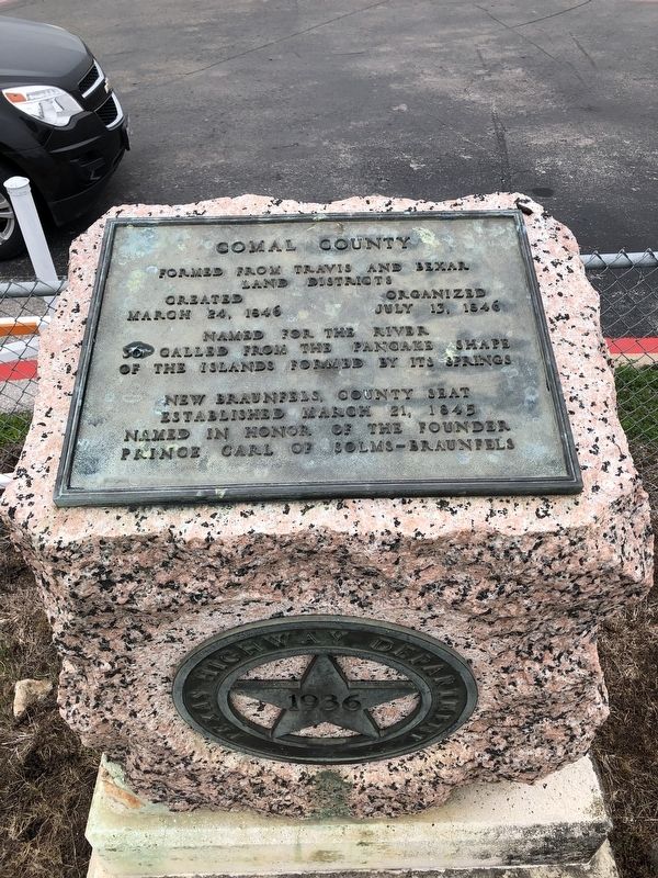
Comal County
land districts
Created March 24,1846
Organized July 13, 1846
Named for the river
so called from the pancake shape
of the islands formed by its springs
New Braunfels, county seat
established March 21,1845
Named in honor of the founder
Prince Carl of Solms-Braunfels
Erected 1936 by Texas Highway Department. (Marker Number 986.)
Topics and series. This historical marker is listed in this topic list: Political Subdivisions. In addition, it is included in the Texas 1936 Centennial Markers and Monuments series list. A significant historical date for this entry is March 24, 1846.
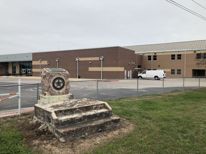
Location. 29° 42.224′ N, 98° 5.745′ W. Marker is in New Braunfels, Texas, in Comal County. Marker is on Business Interstate 35 north of State Highway 46, on the right when traveling south. Touch for map. Marker is at or near this postal address: 1275 Business Interstate Highway 35, New Braunfels TX 78130, United States of America. Touch for directions.
Other nearby markers. At least 8 other markers are within one mile of this marker, measured as the crow flies. New Braunfels (about 700 feet away, measured in a direct line); Church Hill School Building (approx. 0.3 miles away); Breustedt House (approx. 0.4 miles away); Near River Crossing Used by New Braunfels' First Settlers (approx. ¾ mile away); Faust Street Bridge (approx. 0.9 miles away); Notable People & Plots (approx. one mile away); Welcome to the Comal Cemetery (approx. one mile away); Heinrich Mordhorst (approx. 1.1 miles away). Touch for a list and map of all markers in New Braunfels.
Also see . . . Comal County - The Handbook of Texas Online. Texas State Historical Association (TSHA) (Submitted on February 20, 2019, by Brian Anderson of Humble, Texas.)
Credits. This page was last revised on February 20, 2019. It was originally submitted on February 20, 2019, by Brian Anderson of Humble, Texas. This page has been viewed 236 times since then and 24 times this year. Photos: 1, 2. submitted on February 20, 2019, by Brian Anderson of Humble, Texas.

