Near Copperopolis in Calaveras County, California — The American West (Pacific Coastal)
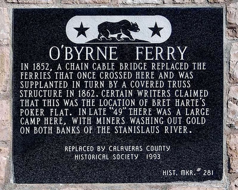
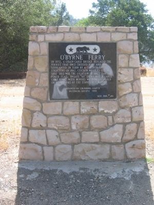
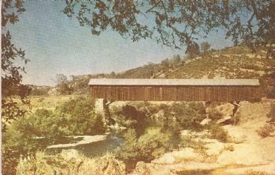
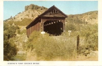
O'Byrne Ferry
Erected 1993 by Calaveras County Historical Society. (Marker Number 281.)
Topics and series. This historical marker is listed in these topic lists: Bridges & Viaducts • Industry & Commerce • Roads & Vehicles • Settlements & Settlers. In addition, it is included in the California Historical Landmarks series list. A significant historical year for this entry is 1852.
Location. 37° 53.816′ N, 120° 34.567′ W. Marker is near Copperopolis, California, in Calaveras County. Marker is on O'Byrne Ferry Road (State Highway 49), on the right when traveling south. Marker is located 7.1 miles south of Copperopolis. Touch for map. Marker is in this post office area: Copperopolis CA 95228, United States of America. Touch for directions.
Other nearby markers. At least 8 other markers are within 7 miles of this marker, measured as the crow flies. Green Springs (approx. 5.6 miles away); Copperopolis Armory (approx. 6.4 miles away); Copperopolis Historical Plaza (approx. 6.4 miles away); Copperopolis Cemetery (approx. 6˝ miles away); Thomas McCarty (approx. 6˝ miles away); The Old Corner Saloon (approx. 6˝ miles away); Copperopolis (approx. 6.6 miles away); Calaveras Telephone (approx. 6.6 miles away). Touch for a list and map of all markers in Copperopolis.
Regarding O'Byrne Ferry. The actual site is now under the waters of Tullock Lake.
In 1938 this was designated California Historical Landmark No. 281.
Credits. This page was last revised on January 24, 2024. It was originally submitted on October 26, 2008, by Syd Whittle of Mesa, Arizona. This page has been viewed 2,429 times since then and 39 times this year. Photos: 1. submitted on January 23, 2024, by Craig Baker of Sylmar, California. 2, 3, 4, 5. submitted on October 26, 2008, by Syd Whittle of Mesa, Arizona.
