Fellows in Kern County, California — The American West (Pacific Coastal)
Midway Field - Well No. 2-6
First Gusher
| — | The well which made the Midway Oil Field famous | — |
Photographed by Craig Baker, February 23, 2019
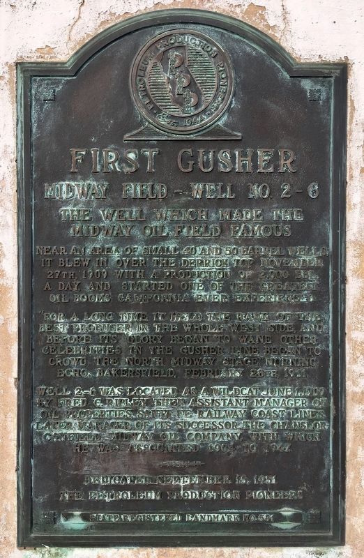
1. Well No. 2-6 Marker
Near an area of small 40 and 50 barrel wells, it blew in over the derrick top November 27th, 1909, with a production of 2,000 barrels a day, and started one of the greatest oil booms California ever experienced.
“For a long time it held the rank of the best producer in the whole west side, and before its glory began to wane, other celebrities in the gusher line began to crowd the North Midway stage.” Morning Echo, Bakersfield, February 28th, 1911.
Well 2-6 was located as a wildcat June 1, 1909 by Fred C. Ripley, then assistant manager of oil properties, Santa Fe Railway coast lines. Later, manager of its successor, the Chanslor-Canfield Midway Oil Company, with which he was associated 1904 to 1947.
Erected 1951 by The Petroleum Production Pioneers. (Marker Number 581.)
Topics and series. This historical marker is listed in this topic list: Industry & Commerce. In addition, it is included in the California Historical Landmarks series list. A significant historical year for this entry is 1909.
Location. 35° 10.784′ N, 119° 32.939′ W. Marker is in Fellows, California, in Kern County. It is on Mocal Road 1.2 miles west of Highway 33, on the right when traveling west. Touch for map. Marker is in this post office area: Fellows CA 93224, United States of America. Touch for directions.

Regionally, this marker is in the San Joaquin Valley, specifically in the Central Valley, and in the Sierra Nevada. It is also on the American Pacific Coast. Globally, it is in North America, on the Ring of Fire, on the Pacific Rim, in the Western Hemisphere, in the Western World, and in the Anglosphere. Historically, it finds itself in what was once New Spain and also Mexico’s Alta California.
Other nearby markers. At least 8 other markers are within 7 miles of this marker, measured as the
this page online
More about this marker. This is California Historical Landmark No. 581.
Photographed by Craig Baker, February 23, 2019
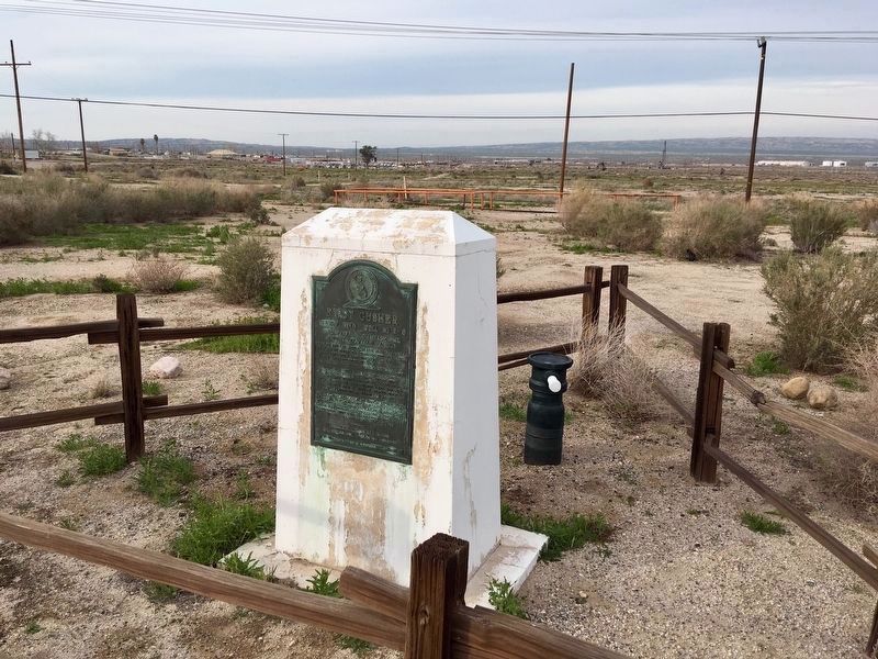
2. Well and Marker
A capped well is behind the marker.
Photographed by Craig Baker, February 23, 2019
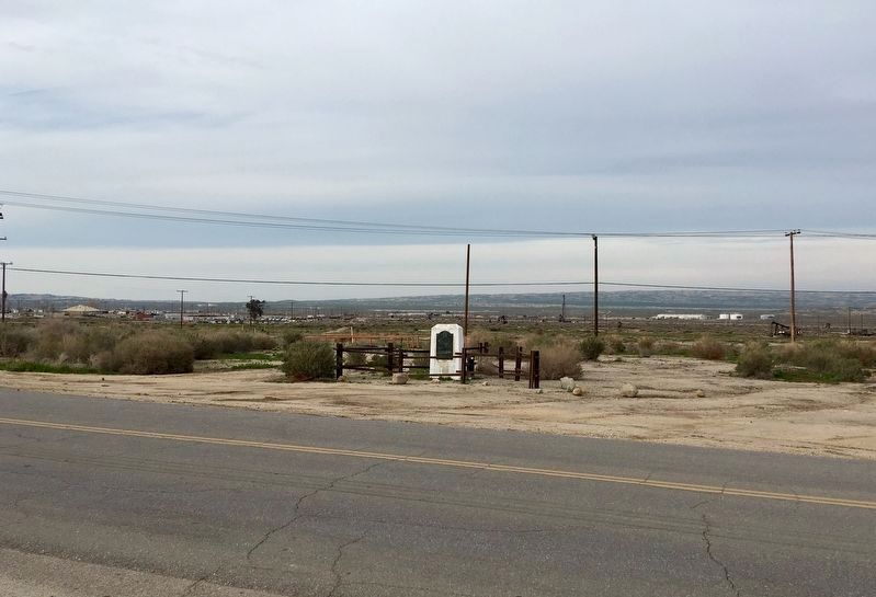
3. Well No. 2-6 Marker
Located northwest of Fellows Park.
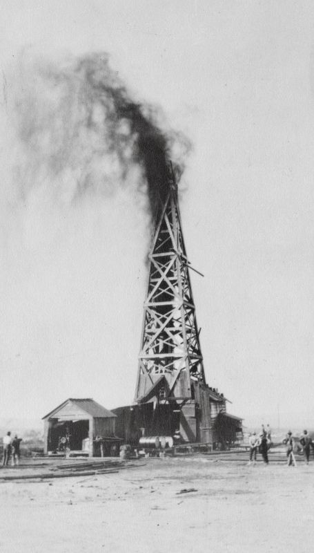
Photo courtesy of the Kern County Library, 1909
4. Chanslor-Canfield-Midway gusher 2-6
"On November 27, 1909, gusher 2-6 came in with a roar, 2,000 barrels of oil a day, the first gusher in the Midway Valley, in Western Kern County...."
Credits. This page was last revised on February 25, 2019. It was originally submitted on February 24, 2019, by Craig Baker of Sylmar, California. This page has been viewed 851 times since then and 55 times this year. Photos: 1, 2, 3. submitted on February 24, 2019, by Craig Baker of Sylmar, California. 4. submitted on February 25, 2019. • Andrew Ruppenstein was the editor who published this page.
