
Marker Logo
THE HISTORICAL
MARKER DATABASE
“Bite-Size Bits of Local, National, and Global History”
Shafter in Kern County, California — The American West (Pacific Coastal)
 

Shafter Depot
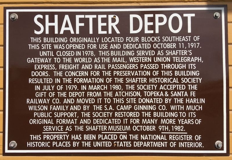
 
 
Shafter Depot Marker image. Click for full size.
Photographed by Craig Baker, February 23, 2019
1. Shafter Depot Marker
Inscription. This building originally located four blocks southeast of this site was opened for use and dedicated October 11, 1917. Until closed in 1978, this building served as Shafter’s gateway to the world as the mail, Western Union Telegraph, express, freight, and rail passengers passed through its doors. The concern for the preservation of this building resulted in the formation of the Shafter Historical Society in July of 1979. In March 1980, the society accepted the gift of the depot from the Atchison, Topeka & Santa Fe Railway Co. and moved it to this site donated by the Harlin Wilson family and by the S.A. Camp Ginning Co. With much public support, the society restored the building to its original format and dedicated it for many more years of service as the Shafter Museum, October 9th, 1982.

This property has been placed on the National Register of Historic Places by the United States Department of Interior.
 
Topics and series. This historical marker is listed in this topic list: Railroads & Streetcars. In addition, it is included in the Atchison, Topeka and Santa Fe Railway series list.
 
Location. 35° 30.336′ N,

Paid Advertisement
Click or scan to see
this page online
119° 16.643′ W. Marker is in Shafter, California, in Kern County. It is at the intersection of Central Valley Highway and Poso Avenue, on the right when traveling north on Central Valley Highway. Touch for map. Marker is at or near this postal address: 150 Central Valley Hwy, Shafter CA 93263, United States of America. Touch for directions.

Regionally, this marker is in California’s San Joaquin Valley, specifically in the Central Valley, and in the Sierra Nevada. It is also on the American Pacific Coast. Globally, it is in North America, on the Ring of Fire, in the Pacific Rim, in the Western Hemisphere, in the Western World, and in the Anglosphere. Historically, it finds itself in what was once New Spain and also Mexico’s Alta California.

Other nearby markers. At least 8 other markers are within 13 miles of this marker, measured as the crow flies: The Green Hotel (approx. 0.3 miles away); Shafter Cotton Research Station (approx. 1.9 miles away); Site of Gossamer Condor Flight (approx. 5.4 miles away); Wasco Union High School Auditorium (approx. 7.3 miles away); Korean and Vietnam Veterans Memorial
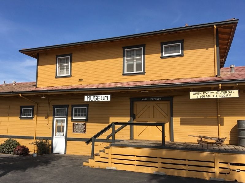
Shafter Depot Marker image. Click for full size.
Photographed by Craig Baker, February 23, 2019
2. Shafter Depot Marker
(approx. 9 miles away); Camp Hamilton (approx. 10.2 miles away); Tule Elk State Reserve (approx. 12.9 miles away); Buttonwillow Tree (approx. 13 miles away). Touch for a list and map of all markers in Shafter.
 
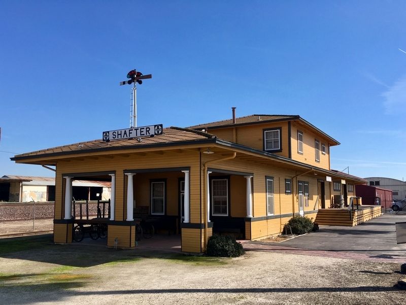
Shafter Depot image. Click for full size.
Photographed by Craig Baker, February 23, 2019
3. Shafter Depot
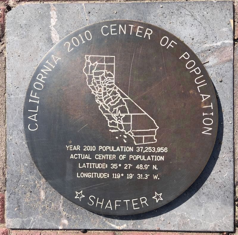
Nearby Marker image. Click for full size.
Photographed by Craig Baker, February 23, 2019
4. Nearby Marker
Center of California population, according to the 2010 census.
 
 
Credits. This page was last revised on February 26, 2019. It was originally submitted on February 25, 2019, by Craig Baker of Sylmar, California. This page has been viewed 508 times since then and 32 times this year. Photos:   1, 2, 3, 4. submitted on February 25, 2019, by Craig Baker of Sylmar, California. • Andrew Ruppenstein was the editor who published this page.

m=130325

CeraNet Cloud Computing sponsors the Historical Marker Database.
This website earns income from purchases you make after using our links to Amazon.com. We appreciate your support.
Paid Advertisement
Jul. 17, 2026
