Columbus in Colorado County, Texas — The American South (West South Central)
Columbus State Bank
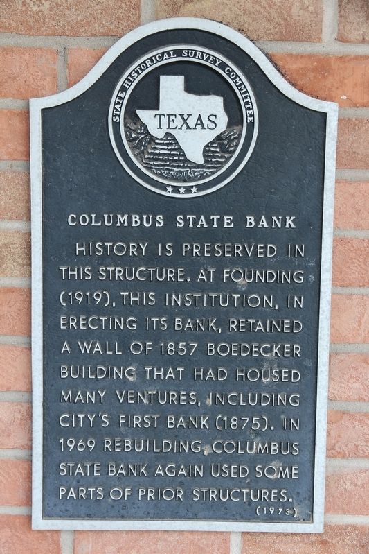
Photographed by Brian Anderson, February 18, 2019
1. Columbus State Bank Marker
Erected 1973 by State Historical Survey Committee. (Marker Number 983.)
Topics. This historical marker is listed in this topic list: Industry & Commerce.
Location. 29° 42.38′ N, 96° 32.439′ W. Marker is in Columbus, Texas, in Colorado County. It is at the intersection of Milam Street (State Highway 52 Spur) and Walnut Street (U.S. 90), on the right when traveling south on Milam Street. Touch for map. Marker is at or near this postal address: 1102 Milam Street, Columbus TX 78934, United States of America. Touch for directions.

Regionally, this marker is in the American South and on the Gulf Coast. Globally, it is in North America, a Gulf of Mexico state, the Western Hemisphere, the Western World, and the Anglosphere. Historically, it finds itself in what was once New Spain, the Republic of Texas, one of the Confederate States of America, and the Antebellum South.
Other nearby markers. At least 8 other markers are within walking distance of this marker: Brick Stone House (within shouting distance of this marker); Colorado County (within shouting distance of this marker); Ehrenwerth-Ramsey-Untermeyer Building (within shouting distance of this marker); Colorado County Courthouse (within shouting distance of this marker); Colorado County War Memorial (within shouting distance of this marker); William Menefee (within shouting distance of this marker); Brunson Building (about 300 feet away, measured in a direct line); Colorado County, 1837, and Robert "Three-Legged Willie" Williamson
this page online
Another marker is no longer nearby. Confederate Memorial Museum (was about 300 feet away but has been confirmed missing).
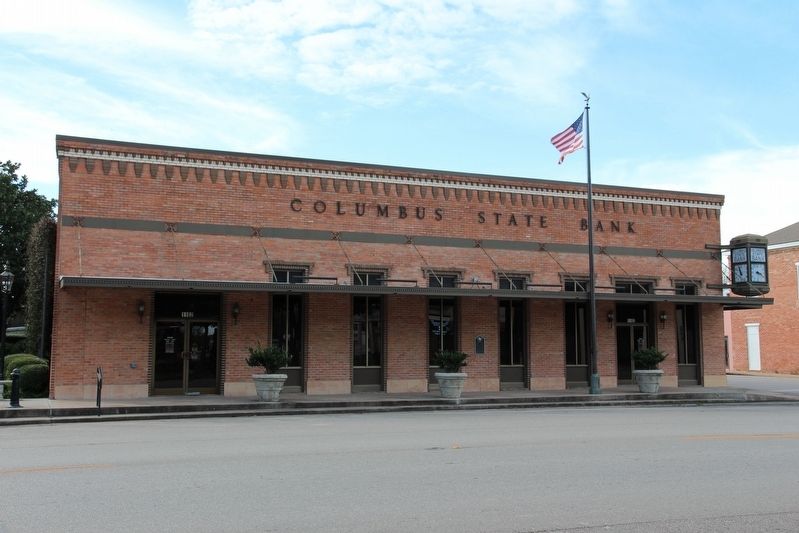
Photographed by Brian Anderson, February 18, 2019
2. Columbus State Bank
Credits. This page was last revised on November 2, 2020. It was originally submitted on February 26, 2019, by Brian Anderson of New Albany, Ohio. This page has been viewed 463 times since then and 41 times this year. Photos: 1, 2. submitted on February 26, 2019, by Brian Anderson of New Albany, Ohio.
