Near Flippin in Monroe County, Kentucky — The American South (East South Central)
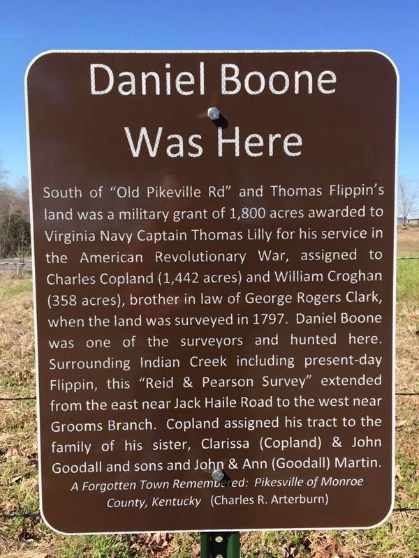
Daniel Boone Was Here
Inscription.
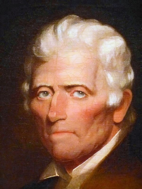
South of "Old Pikeville Rd" and Thomas Flippin's land was a military grant of 1,800 acres awarded to Virginia Navy Captain Thomas Lilly for his service in the American Revolutionary War, assigned to Charles Copland (1,442 acres) and William Croghan (358 acres), brother in law of George Rogers Clark, when the land was surveyed in 1797. Daniel Boone was one of the surveyors and hunted here. Surrounding Indian Creek including present-day Flippin, this "Reid and Pearson Survey" extended from the east near Jack Haile Road to the west near Grooms Branch. Copland assigned his tract to the family of his sister, Clarissa (Copland) & John Goodall and sons and John and Ann (Goodall) Martin.
A Forgotten Town Remembered: Pikesville of Monroe County, Kentucky (Charles R. Arterburn)
Erected 2017 by C. R. Arterburn.
Topics. This historical marker is listed in this topic list: Settlements & Settlers. A significant historical year for this entry is 1797.
Location. 36° 44.038′ N, 85° 53.338′ W. Marker is near Flippin, Kentucky, in Monroe County. Marker is on Flippin Lamb Road (Route 249), on the right when traveling north. Marker is located approximately 1.25 miles north of Flippin, Kentucky. Touch for map. Marker is in this post office area: Tompkinsville KY 42167, United States of America. Touch for directions.
Other nearby markers. At least 8 other markers are within 9 miles of this marker, measured as the crow flies. Pikesville (here, next to this marker); Famous Tree / Indian Creek Church (approx. 1.4 miles away); Fraim Cemetery (approx. 1.6 miles away); Camp Anderson (approx. 2.6 miles away); Fountain Run World War I & World War II Memorial (approx. 4.4 miles away); Free-Town Church (approx. 6.4 miles away); Gamaliel Cemetery (approx. 8.1 miles away); Gamaliel (approx. 8.1 miles away). Touch for a list and map of all markers in Flippin.
Related marker. Click here for another marker that is related to this marker.
Also see . . .
1. Flippin, Kentucky (Wikipedia). (Submitted on December 23, 2018, by C. R. Arterburn of Lexington, Kentucky.)
2. A Forgotten Town Remembered: Pikesville of Monroe County, Kentucky. (Submitted on December 28, 2018, by C. R. Arterburn of Lexington, Kentucky.)
3. Charles Copland (1756-1836). (Submitted on December 29, 2018, by C. R. Arterburn of Lexington, Kentucky.)
4. William Croghan (1752-1822). (Submitted on December 29, 2018, by C. R. Arterburn of Lexington, Kentucky.)
5. John Goodall Family Cemetery. (Submitted on December 29, 2018, by C. R. Arterburn of Lexington, Kentucky.)
6. The Flippin Files. (Submitted on December 29, 2018, by C. R. Arterburn of Lexington, Kentucky.)
7. Southern Campaign American Revolution Pension Statements and Rosters. Bounty Land Warrant information relating to Thomas Lilly VAS923 (Submitted on December 30, 2018, by C. R. Arterburn of Lexington, Kentucky.)

Photographed By (Artist unknown)
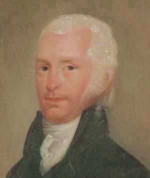
3. Major William Croghan (1752-1822)
“In 1784, after gaining a surveying certificate from the College of William and Mary, William Croghan and George Rogers Clark were named principal surveyors to the Virginia State Line and moved to Louisville. They were responsible for overseeing the measuring, mapping, and recording of deeds for all Virginia state line bounty lands. They were able to claim land in payment for their surveying services, and as a result, the men acquired ownership of vast tracts.”
— “Croghan and Clark Families.” Historic Locust Grove. December 27, 2018. locustgrove.org/
Credits. This page was last revised on December 27, 2023. It was originally submitted on December 22, 2018, by C. R. Arterburn of Lexington, Kentucky. This page has been viewed 635 times since then and 82 times this year. Last updated on December 22, 2023, by C. R. Arterburn of Lexington, Kentucky. Photos: 1. submitted on December 22, 2018, by C. R. Arterburn of Lexington, Kentucky. 2. submitted on December 25, 2018, by Allen C. Browne of Silver Spring, Maryland. 3. submitted on December 28, 2018, by C. R. Arterburn of Lexington, Kentucky. • James Hulse was the editor who published this page.

