Adams Morgan in Northwest Washington in Washington, District of Columbia — The American Northeast (Mid-Atlantic)
Lanier Heights
Roads to Diversity
— Adams Morgan Heritage Trail —
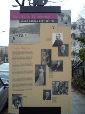
Banker Archibald McLachlen and Smithsonian Institution naturalist George Brown Goode developed Lanier Heights in the early 1890s. Goode laid out streets and encouraged Smithsonian colleagues to purchase lots. McLachlan built the elegant Ontario Apartments, visible ahead and to the left on then-rural Ontario Road. More apartments and row houses followed. By 1935 Lanier Heights was considered a close-in, city neighborhood.
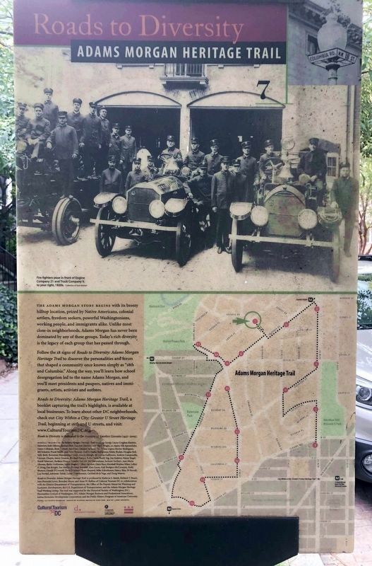
In 1908 the city built the Mission style firehouse mid-block to your left. Generations of neighborhood children played in front of it, considering the firefighters their personal guardians. The community saved the deteriorating facility from demolition in 1975.
During the 1920s, most residents of this block were German Jews. Many came from Old Southwest [D.C.], including Rabbi Moses Yoelsen, father of entertainer Al Jolson (1787 Lanier Place). Like much of the area, Lanier Place eventually grew less affluent as families of means left for newer suburban housing.
In the 1960s Adams Morgan drew a younger, mixed population, giving the area a reputation as activist and community conscious. Lanier Place became a hub of anti-establishment politics. Members of Students for a Democratic Society lived at 1779 Lanier Place. Black Panthers, American Indian Movement workers, and the Berrigan brothers (Catholic priests and anti-war activists) all passed through. The Mayday Tribe, anti-war organizers, created a commune at 1747. After a bombing at the U.S. Capitol in 1971, F.B.I. agents staked out 1747 in search of witness Leslie Bacon. She was chased along the rooftops of these buildings and apprehended.
Erected 2005 by Cultural Tourism DC. (Marker Number 7.)
Topics and series. This historical marker is listed in these topic lists: Settlements & Settlers • War, Vietnam. In addition, it is included in the Adams Morgan Heritage Trail series list. A significant historical year for this entry is 1935.
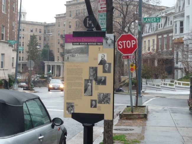
Location. 38° 55.505′ N, 77° 2.45′ W. Marker is in Northwest Washington in Washington, District of Columbia. It is in Adams Morgan. Marker is on Ontario Road Northwest south of Lanier Place Northwest, on the right when traveling west. Touch for map. Marker is at or near this postal address: 2731 Ontario Road Northwest, Washington DC 20009, United States of America. Touch for directions.
Other nearby markers. At least 8 other markers are within walking distance of this marker. un/fold (about 500 feet away, measured in a direct line); Ontario 17 (about 500 feet away); The Latino Community (about 600 feet away); Serving the Neighborhood (about 700 feet away); A People Without Murals Is A Demuralized People (approx. 0.2 miles away); Tragedy at 18th and Columbia (approx. 0.2 miles away); "Suburban" Development (approx. 0.2 miles away); Walter Pierce Park (approx. 0.2 miles away). Touch for a list and map of all markers in Northwest Washington.
More about this marker. [Caption, photos in upper right]:
George Brown Goode, right, and Archibald McLachlan first developed Lanier Heights.
[Caption, group of three photos in center]:
Ontario Apartments dwellers, clockwise from left, Confederate widow and author Sally Pickett, General Douglas MacArthur, and Wisconsin Senator Robert LaFollette.
[Caption, photo in lower left]:
Rennie Davis of the Chicago Seven lived at 1738.
[Caption, two photos in lower right]:
Among Lanier Place’s Jewish residents, liquor distributor and philanthropist Milton S. Kronheim (1764 Lanier Pl.), above, and Rabbi Moses Yoelsen (1767 Lanier Pl.), left.
Additional keywords. Gilded Age, social change, activism, civil disobedience.
Credits. This page was last revised on January 30, 2023. It was originally submitted on March 23, 2009, by Richard E. Miller of Oxon Hill, Maryland. This page has been viewed 2,128 times since then and 39 times this year. Last updated on March 7, 2019, by Devry Becker Jones of Washington, District of Columbia. Photos: 1. submitted on March 23, 2009, by Richard E. Miller of Oxon Hill, Maryland. 2. submitted on July 21, 2021, by Ray Gurganus of Washington, District of Columbia. 3. submitted on March 23, 2009, by Richard E. Miller of Oxon Hill, Maryland. • Bill Pfingsten was the editor who published this page.


