Kalorama Triangle in Northwest Washington in Washington, District of Columbia — The American Northeast (Mid-Atlantic)
Kalorama Triangle
Roads to Diversity
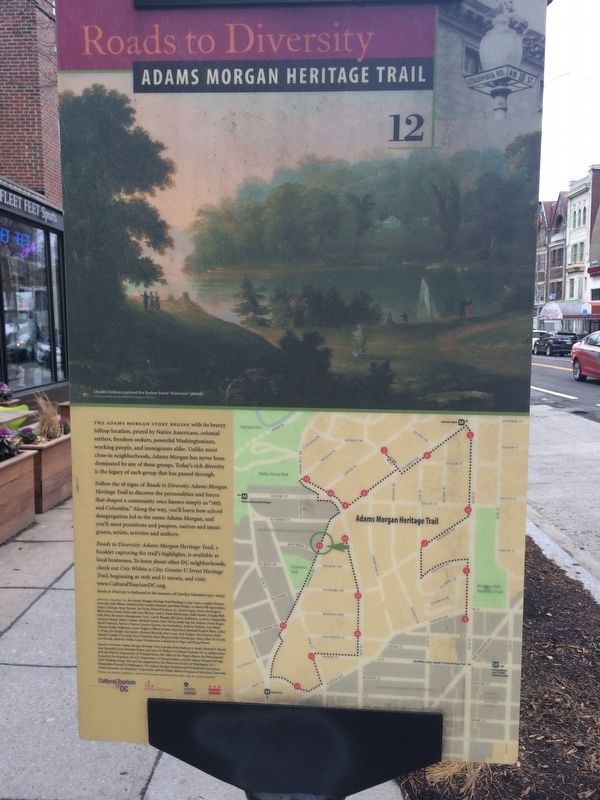
— Adams Morgan Heritage Trail —
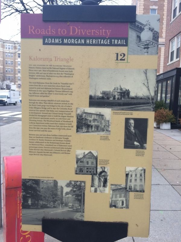
You are standing in the Kalorama Triangle Historic District, listed on the National Register of Historic Places since 1987. Most of its elaborate houses were built between 1888 and 1930 in what was then the "Washington Heights" subdivision. They survive as a fine collection of Washington rowhouse styles.
The word Kalorama (from the Greek for "beautiful view") comes from the 30-acre estate here above Rock Creek named by poet and diplomat Joel Barlow. He purchased Kalorama in 1807 upon President Thomas Jefferson's urging. Jefferson called the estate "a most lovely seat" with "superb house and gardens."
Kalorama was among a handful of such estates here through the 1880s. Then electric streetcars arrived. In 1891 the Rock Creek gorge was bridged at the site of today's Duke Ellington Bridge and in 1897 the Columbia Road streetcar line opened. Like today, new transportation led to development. Around 1915 Colonel George Truesdell divided his Managassett estate to build the elegant Mendota and Altamont apartments nearby on 20th Street and Wyoming Avenue. The Woodward family of Woodward & Lothrop department stores razed their mansion to build 2101 Connecticut Avenue. Kalorama Park, just down the hill from this sign, was once the estate of John Little, whose house survived until the 1920s.
Between 1902 and 1905 alone, builders constructed more than 100 handsome rowhouses in Kalorama Triangle. Architect B. Stanley Simmons and developer Franklin Sanner collaborated on the Romanesque houses ahead on Mintwood Place, considered one of Kalorama's most picturesque streets. Favorite architectural styles included Tudor Revival (1850 Mintwood), Colonial Revival (1848 Biltmore), Spanish Revival (1852 Biltmore), and Romanesque Revival (1853 Mintwood).
Erected 2005 by Cultural Tourism DC. (Marker Number 12.)
Topics and series. This historical marker is listed in these topic lists: Architecture • Railroads & Streetcars. In addition, it is included in the Adams Morgan Heritage Trail, and the Former U.S. Presidents: #03 Thomas Jefferson series lists. A significant historical year for this entry is 1807.
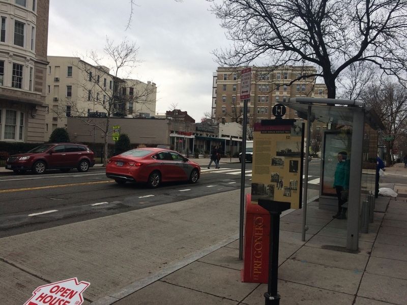
Location. 38° 55.295′ N, 77° 2.615′ W. Marker is in Northwest Washington in Washington, District of Columbia. It is in Kalorama Triangle. Marker is on Columbia Road Northwest north of Mintwood Place Northwest, on the right when traveling south. Touch for map. Marker is at or near this postal address: 1835 Columbia Road Northwest, Washington DC 20009, United States of America. Touch for directions.
Other nearby markers. At least 8 other markers are within walking distance of this marker. The Artistic Life (about 300 feet away, measured in a direct line); Tragedy at 18th and Columbia (about 600 feet away); A People Without Murals Is A Demuralized People
Credits. This page was last revised on January 30, 2023. It was originally submitted on January 13, 2018, by Devry Becker Jones of Washington, District of Columbia. This page has been viewed 366 times since then and 38 times this year. Last updated on March 7, 2019, by Devry Becker Jones of Washington, District of Columbia. Photos: 1, 2, 3. submitted on January 13, 2018, by Devry Becker Jones of Washington, District of Columbia. • Bill Pfingsten was the editor who published this page.


