Mount Pleasant in Northwest Washington in Washington, District of Columbia — The American Northeast (Mid-Atlantic)
Streetcar Suburb
Village in the City
| — | Mount Pleasant Heritage Trail | — |
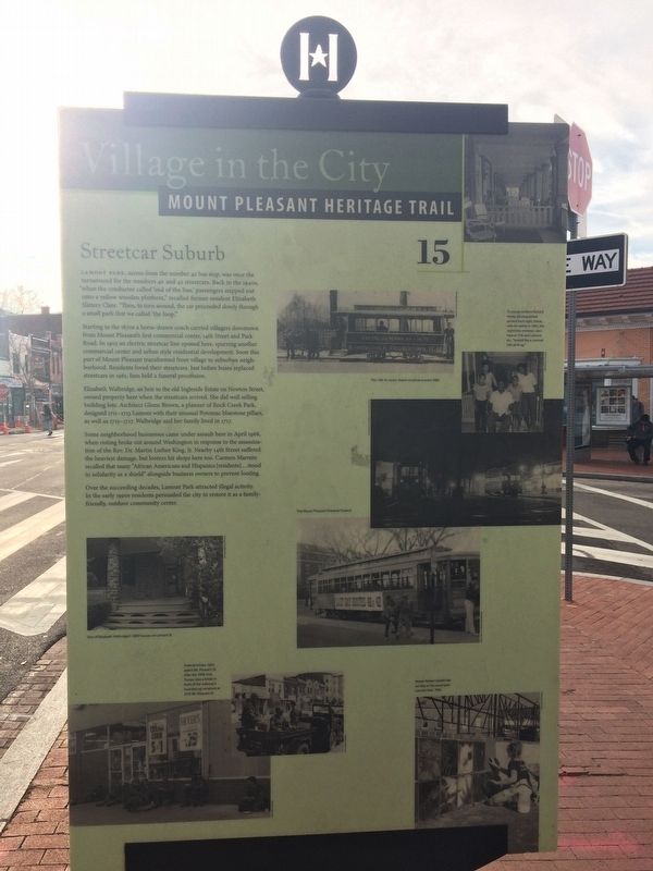
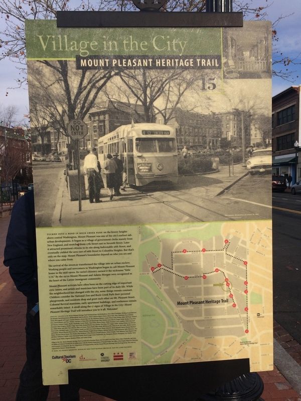
Lamont Park, across from the number 42 bus stop, was once the turnaround for the numbers 40 and 42 streetcars. Back in the 1940s, "when the conductor called 'end of the line,' passengers stepped onto a yellow wooden platform," recalled former resident Elizabeth Slattery Clare. "Then, to turn around, the car proceeded slowly through a small park that we called 'the loop.'"
Starting in the 1870s a horse-drawn coach carried villagers downtown from Mount Pleasant's first commercial center, 14th Street and Park Road. In 1903 an electric streetcar line opened here, spurring another commercial center and urban style residential development. Soon this part of Mount Pleasant transformed from village to suburban neighborhood. Residents loved their streetcars. Just before buses replaced streetcars in 1961, fans held a funeral procession.
Elizabeth Walbridge, an heir to the old Ingleside Estate on Newton Street, owned property here when the streetcars arrived. She did well selling building lots. Architect Glenn Brown, a planner of Rock Creek Park, designed 1711-1713 Lamont with their unusual Potomac bluestone pillars, as well
this page online
Some neighborhood businesses came under assault here in April 1968, when rioting broke out around Washington in response to the assassination of the Rev. Dr. Martin Luther King, Jr. Nearby 14th Street suffered the heaviest damage, but looters hit shops here too. Carmen Marrero recalled that many "African Americans and Hispanics [residents]...stood in solidarity as a shield" alongside business owners to prevent looting.
Over the succeeding decades, Lamont Park attracted illegal activity. In the early 1990s resident persuaded the city to restore it as a family-friendly, outdoor community center.
Erected 2006 by Cultural Tourism DC. (Marker Number 15.)
Topics and series. This historical marker is listed in these topic lists: Disasters • Industry & Commerce • Railroads & Streetcars. In addition, it is included in the Mount Pleasant Heritage Trail series list. A significant historical year for this entry is 1870.
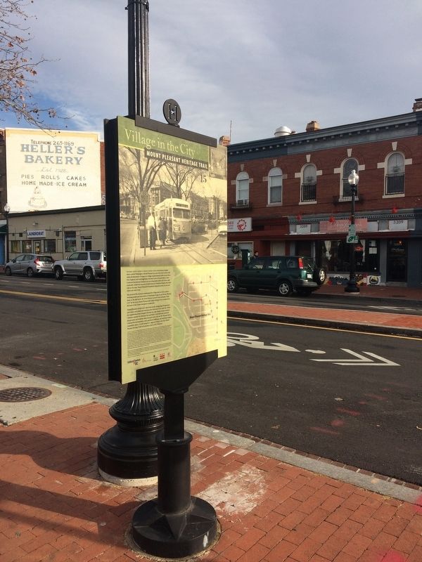
Location. 38° 55.878′ N, 77° 2.307′ W. Marker is in Northwest Washington in Washington, District of Columbia. It is in Mount Pleasant. It is at the intersection

Regionally, this marker is in the Washington Metropolitan Area. It is also in the American Northeast, in the Upper South, in the Mid-Atlantic, in the Tidewater, and in the Chesapeake Bay Region. Globally, it is in North America, the Western Hemisphere, the Western World, and the Anglosphere.
Other nearby markers. At least 8 other markers are within walking distance of this marker: Main Street (within shouting distance of this marker); The First Bodega (within shouting distance of this marker); At Home and Abroad (about 300 feet away, measured in a direct line); Casualties Arriving at Mount Pleasant General Hospital, May 1864 (about 500 feet away); Mount Pleasant Street, ca. 2004 (about 500 feet away); Sacred Heart Academy (about 500 feet away); War and Peace (about 600 feet away); Mount Pleasant Library
Credits. This page was last revised on January 30, 2023. It was originally submitted on December 25, 2017, by Devry Becker Jones of Washington, District of Columbia. This page has been viewed 575 times since then and 26 times this year. Last updated on March 8, 2019, by Devry Becker Jones of Washington, District of Columbia. Photos: 1, 2, 3, 4. submitted on December 25, 2017, by Devry Becker Jones of Washington, District of Columbia. • Bill Pfingsten was the editor who published this page.
