Canajoharie in Montgomery County, New York — The American Northeast (Mid-Atlantic)
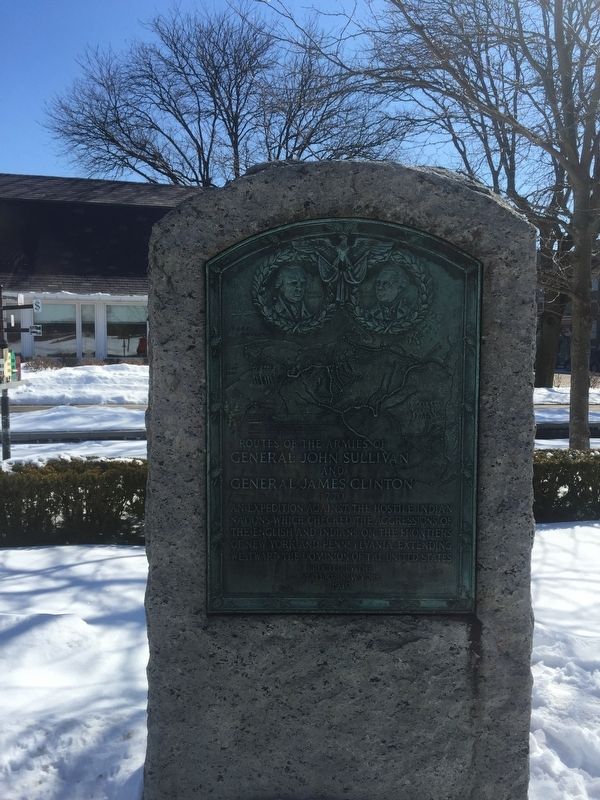
Routes of the Armies
Of General John Sullivan and General James Clinton
— 1779 —
Erected 1930 by State of New York.
Topics and series. This historical marker is listed in these topic lists: Native Americans • War, US Revolutionary. In addition, it is included in the The Sullivan-Clinton Expedition Against the Iroquois Indians series list.
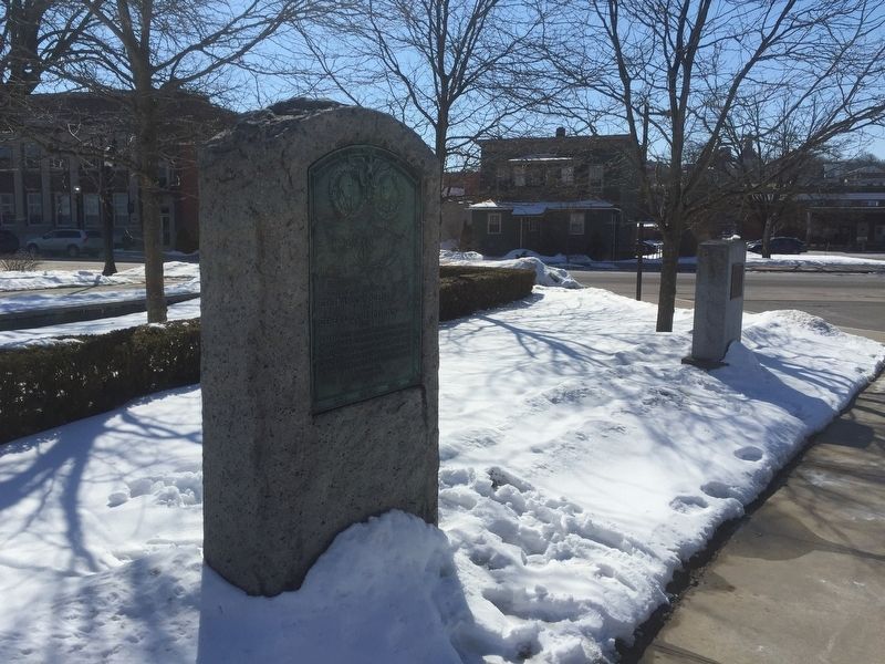
Location. 42° 54.435′ N, 74° 34.371′ W. Marker is in Canajoharie, New York, in Montgomery County. Marker can be reached from Erie Boulevard. At eastern end of parking lot for Arkell Museum. Touch for map. Marker is in this post office area: Canajoharie NY 13317, United States of America. Touch for directions.
Other nearby markers. At least 8 other markers are within walking distance of this marker. Northeastern Terminal (about 600 feet away, measured in a direct line); Canajoharie/Canalway Trail/Pathway Through Mountains (about 700 feet away); Site of Johannes Reuff's Tavern (about 800 feet away); Canajoharie Academy (approx. 0.2 miles away); Van Alstyne Homestead (approx. 0.2 miles away); Sullivan-Clinton Campaign (approx. 0.2 miles away); Chester B. Hoke (approx. 0.2 miles away); Wagner Home (approx. 0.3 miles away). Touch for a list and map of all markers in Canajoharie.
Credits. This page was last revised on March 12, 2019. It was originally submitted on March 10, 2019, by Steve Stoessel of Niskayuna, New York. This page has been viewed 381 times since then and 28 times this year. Photos: 1, 2, 3. submitted on March 10, 2019, by Steve Stoessel of Niskayuna, New York. • Bill Pfingsten was the editor who published this page.


