Barkersville in Saratoga County, New York — The American Northeast (Mid-Atlantic)
Barkersville
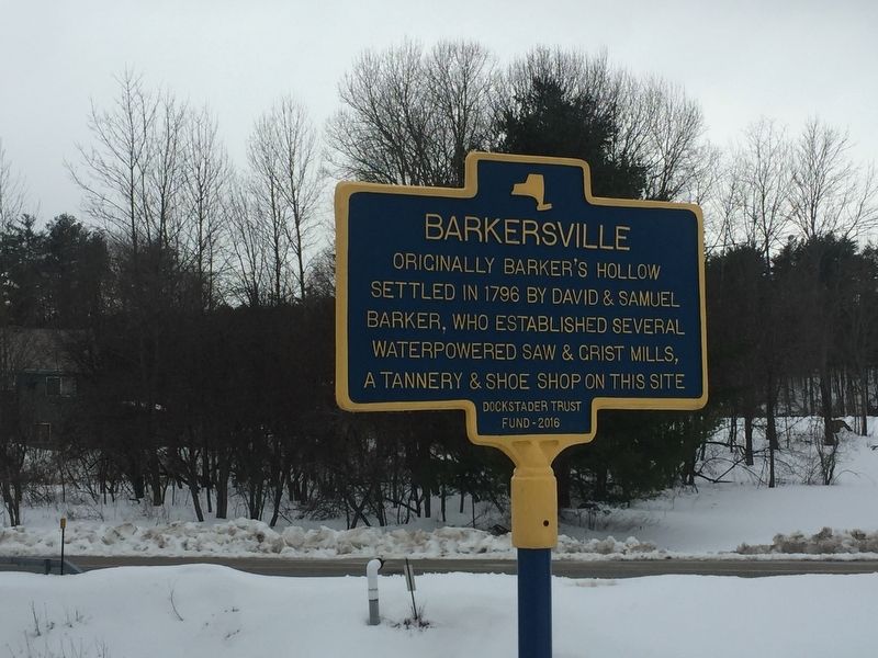
Photographed by Steve Stoessel, March 13, 2019
1. Barkersville Marker
Erected 2016 by Dockstader Trust Fund.
Topics. This historical marker is listed in these topic lists: Industry & Commerce • Settlements & Settlers. A significant historical year for this entry is 1796.
Location. 43° 5.335′ N, 74° 2.313′ W. Marker is in Barkersville, New York, in Saratoga County. It is at the intersection of Barkersville Road (County Route 16) and Fayville Road (County Route 13), on the left when traveling north on Barkersville Road. Marker is in the triangle formed by these two roads. Touch for map. Marker is in this post office area: Middle Grove NY 12850, United States of America. Touch for directions.

Regionally, this marker is in Upstate New York, in the Capital District, and in the Albany Metropolitan Area. It is also in the American Northeast and in the Mid-Atlantic. Globally, it is in North America, the Great North Woods, the Western Hemisphere, the Western World, and the Anglosphere. Historically, it finds itself in
this page online
Other nearby markers. At least 8 other markers are within 5 miles of this marker, measured as the crow flies: A different marker also named Barkersville (about 800 feet away, measured in a direct line); A Plow Factory (approx. 2.1 miles away); Galway War Memorial (approx. 2.8 miles away); Old Baptist Meeting House (approx. 3.1 miles away); The Gere House (approx. 3.1 miles away); Parkis Mills (approx. 3.6 miles away); Union Mills (approx. 4.8 miles away); Galway Village (approx. 4.9 miles away).
Regarding Barkersville. Barkerville used to be the site of a tuberculosis asylum. It is a couple of miles past Barkersville, and now rapidly disintegrating.
Also see . . . Saratoga Homestead Ayslum. (Submitted on March 13, 2019, by Steve Stoessel of Niskayuna, New York.)
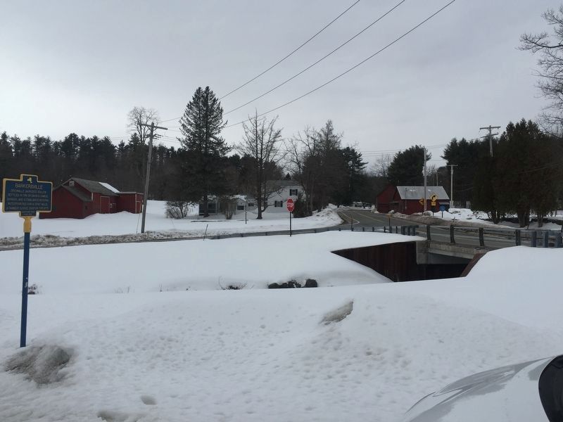
Photographed by Steve Stoessel, March 13, 2019
2. Barkersville
Looking north from the marker
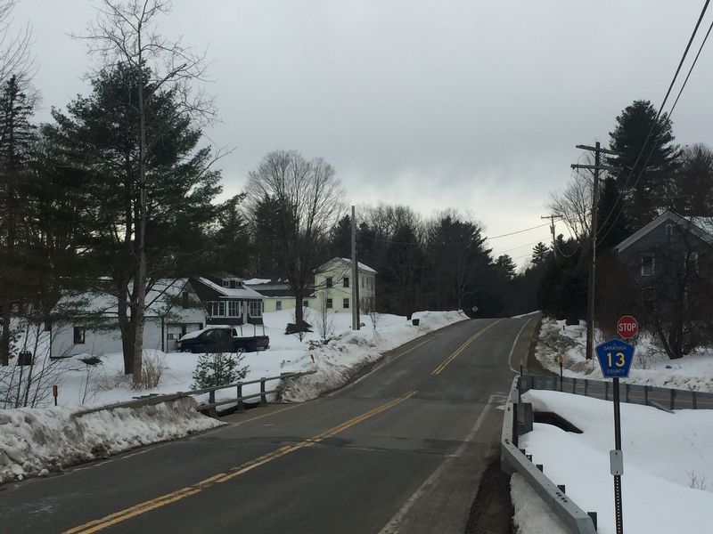
Photographed by Steve Stoessel, March 13, 2019
3. Barkersville
Looking west from marker along Co. 13
Credits. This page was last revised on March 16, 2019. It was originally submitted on March 13, 2019, by Steve Stoessel of Niskayuna, New York. This page has been viewed 771 times since then and 48 times this year. Last updated on March 16, 2019, by Steve Stoessel of Niskayuna, New York. Photos: 1, 2, 3. submitted on March 13, 2019, by Steve Stoessel of Niskayuna, New York. • Andrew Ruppenstein was the editor who published this page.
