Ventura in Ventura County, California — The American West (Pacific Coastal)
J.A. Day House
759 East Poli Street
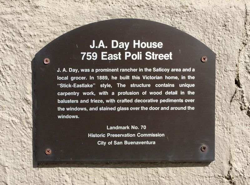
Photographed by Andrew Ruppenstein, March 4, 2019
1. J.A. Day House Marker
Erected by Historic Preservation Commission City of San Buenaventura. (Marker Number 70.)
Topics. This historical marker is listed in this topic list: Architecture. A significant historical year for this entry is 1889.
Location. 34° 16.925′ N, 119° 17.346′ W. Marker is in Ventura, California, in Ventura County. It is on East Poli Street west of North Ash Street, on the right when traveling west. Touch for map. Marker is at or near this postal address: 759 East Poli Street, Ventura CA 93001, United States of America. Touch for directions.

Regionally, this marker is in Greater Los Angeles, on the Central Coast, and in the Transverse Ranges. It is also on the American Pacific Coast. Globally, it is in North America, on the Ring of Fire, on the Pacific
this page online
Other nearby markers. At least 8 other markers are within walking distance of this marker: The Arnold House (within shouting distance of this marker); Bard Hospital (about 400 feet away, measured in a direct line); Nellie Clover House (about 600 feet away); Southern Methodist Episcopal Church (about 800 feet away); Apostolic Church (approx. 0.2 miles away); Site of the Mayfair Theater, 1941-2000 (approx. 0.2 miles away); Jack Rose (approx. 0.2 miles away); Groene Building (approx. 0.2 miles away). Touch for a list and map of all markers in Ventura.
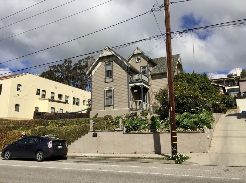
Photographed by Andrew Ruppenstein, March 4, 2019
2. J.A. Day House and Marker
The marker is visible here, mounted to the retaining wall, just beneath the railings.
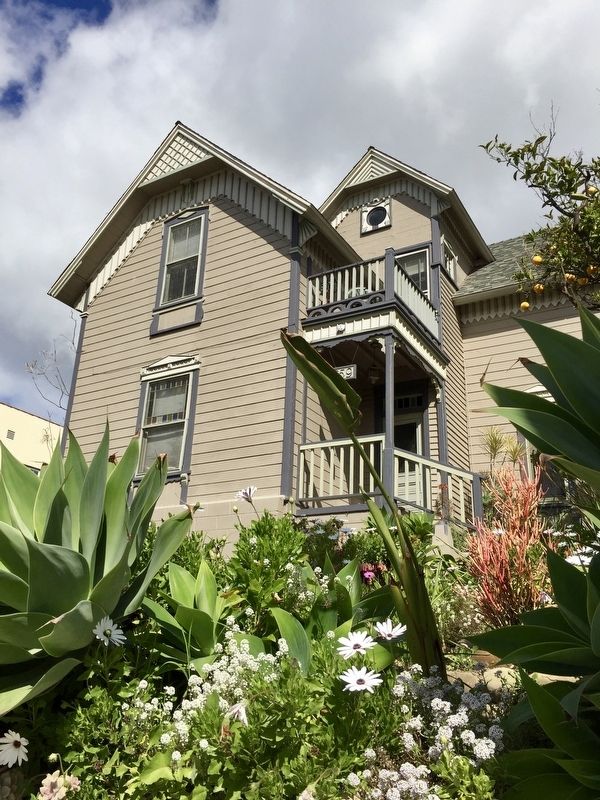
Photographed by Andrew Ruppenstein, March 4, 2019
3. J.A. Day House
Credits. This page was last revised on March 18, 2019. It was originally submitted on March 18, 2019, by Andrew Ruppenstein of Lamorinda, California. This page has been viewed 766 times since then and 48 times this year. Photos: 1, 2, 3. submitted on March 18, 2019, by Andrew Ruppenstein of Lamorinda, California.
