Near Kaibab in Coconino County, Arizona — The American Mountains (Southwest)
The Historic Dixie-Long Valley, Utah Pioneer Trail
Inscription.
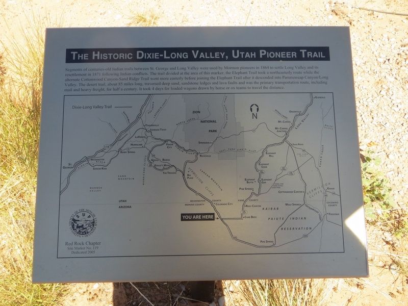
Segments of centuries-old Indian trails between St. George and Long Valley were used by Mormon pioneers in 1864 to settle Long Valley and its resettlement in 1871 following Indian conflicts. The trail
divided at the area of this marker; the Elephant Trail took a northeasterly route while the alternate Cottonwood Canyon-Sand ridge Trail went more easterly before joining the Elephant Trail after it descended into Parunuweap Canyon/Long Valley. The desert trail, about 85 miles long, traversed deep sand, sandstone ledges and lava faults and was the primary transportation route, including mail and heavy freight, for half a century. It took 4 days for loaded wagons drawn by horse or ox teams to travel the distance.
Erected 2005 by Red Rock Chapter, Sons of Utah Pioneers. (Marker Number 119.)
Topics and series. This historical marker is listed in this topic list: Roads & Vehicles. In addition, it is included in the Sons of Utah Pioneers series list. A significant historical year for this entry is 1864.
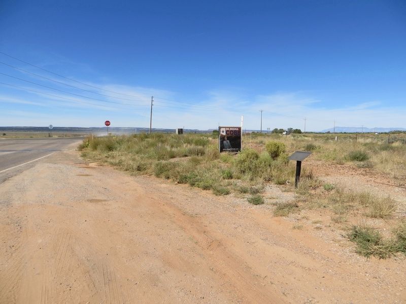
Location. 36° 56.817′ N, 112° 57.326′ W. Marker is near Kaibab, Arizona, in Coconino County. Marker is at the intersection of Arizona Route 389 and Cane Beds road, on the right when traveling north on State Route 389. Marker is on the northeast corner. Touch for map. Marker is in this post office area: Fredonia AZ 86022, United States of America. Touch for directions.
Other nearby markers. At least 2 other markers are within 12 miles of this marker, measured as the crow flies. Jonathan Heaton (approx. 11.3 miles away); Moccasin (approx. 11.3 miles away).
Credits. This page was last revised on March 22, 2019. It was originally submitted on March 22, 2019, by Bill Kirchner of Tucson, Arizona. This page has been viewed 209 times since then and 14 times this year. Photos: 1, 2, 3. submitted on March 22, 2019, by Bill Kirchner of Tucson, Arizona.


