Rancho Oakey in Las Vegas in Clark County, Nevada — The American Mountains (Southwest)
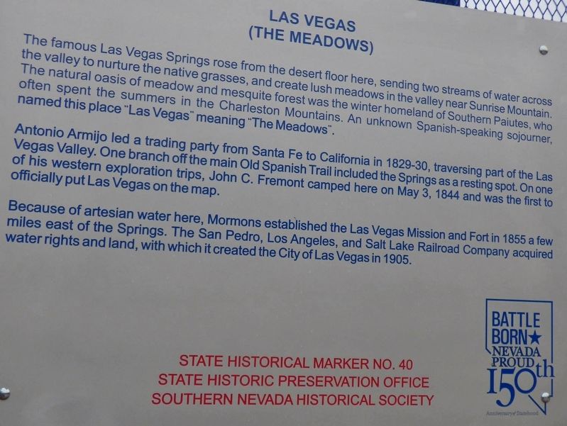
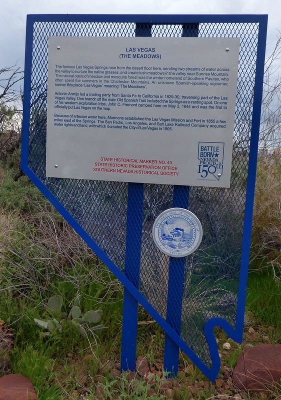
Las Vegas (The Meadows)
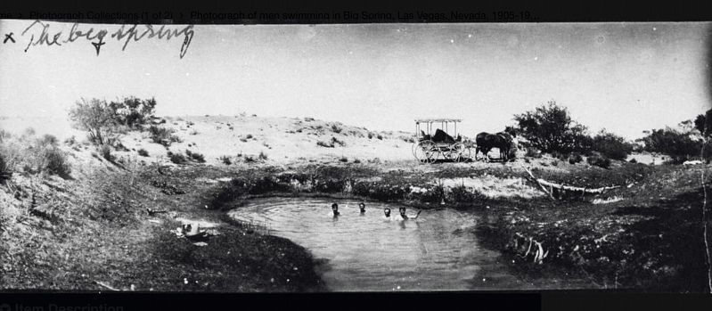
Antonio Armijo stopped at the Springs in 1829-30, traveling a route, which became known as the Old Spanish Trail. After 1830, the route rested beside the Springs. On one of his western exploration trips, John C. Frémont camped here on May 3, 1844.
Because of artesian water here, Mormons established the Las Vegas Mission and Fort in 1855; the Valley became a huge cattle ranch from 1866 to 1904; and the San Pedro, Los Angeles, and Salt Lake Railroad Company acquired water righst and land, with which it created the City of Las Vegas in 1905.
Erected by State Historic Preservation Office, Southern Nevada Historical Society. (Marker Number 40.)
Topics. This historical marker is listed in these topic lists: Exploration • Settlements & Settlers. A significant historical year for this entry is 1829.
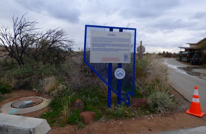
Location. 36° 10.237′ N, 115° 11.338′ W. Marker is in Las Vegas, Nevada, in Clark County. It is in Rancho Oakey. Marker is on S. Valley View Boulevard north of Alta Boulevard. Located inside the Springs Preserve. Touch for map. Marker is at or near this postal address: 333 S Valley View Boulevard, Las Vegas NV 89107, United States of America. Touch for directions.
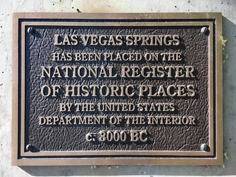
Other nearby markers. At least 8 other markers are within 2 miles of this marker, measured as the crow flies. Las Vegas Springs (approx. 0.2 miles away); a different marker also named Las Vegas Springs (approx. 0.2 miles away); Lorenzi Park (approx. 0.6 miles away); Padre Francisco Garcés (approx. 0.7 miles away); Twin Lakes Lodge (approx. 0.7 miles away); First Water Company (approx. 0.8 miles away); Old Well Tower #10 (approx. 0.8 miles away); Binion House (approx. 1.2 miles away). Touch for a list and map of all markers in Las Vegas.
More about this marker. This state historical marker was moved from the corner of Alta and Valley View to a location inside the Springs Preserve. There is an admission fee to enter the Springs Preserve, however individuals can ask at the Admissions Counter for a free "Garden & Trails" ticket. Ask the local staff for directions to the state historical marker.
The new location for this state marker was unveiled by Nevada Gov. Brian Sandoval on Sept 25, 2015.
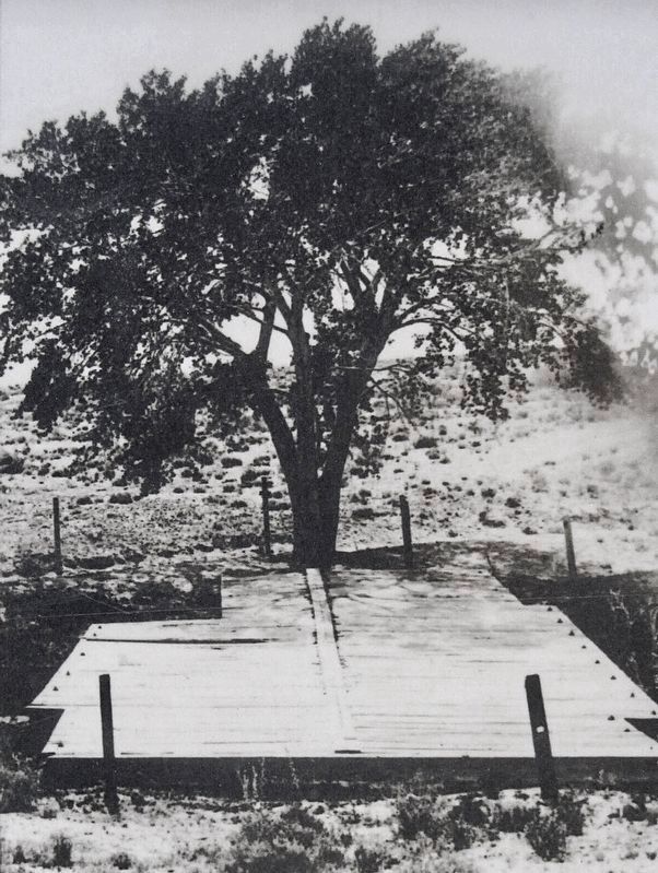
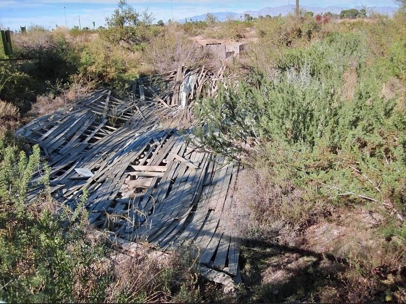
The ruins of a wood cover at the springs can be seen along the trail ¼ mile north of this marker. The springs are now dry.
Nevada State Historical Marker 40 should not be confused with the Las Vegas Fort Marker 40 (also listed in this database) erected by Daughters of Utah Pioneers, Desert Holly Camp, Las Vegas, Nevada.
Also see . . . Springs Preserve. Nature preserve, botanical gardens, walking paths, and museums. (Submitted on March 16, 2023, by Craig Baker of Sylmar, California.)
Credits. This page was last revised on March 16, 2023. It was originally submitted on March 22, 2019, by Paulette Nelson of N Las Vegas, Nevada. This page has been viewed 600 times since then and 81 times this year. Photos: 1, 2, 3. submitted on March 22, 2019, by Paulette Nelson of N Las Vegas, Nevada. 4, 5, 6, 7. submitted on March 16, 2023, by Craig Baker of Sylmar, California. • Andrew Ruppenstein was the editor who published this page.
