Fillmore in Ventura County, California — The American West (Pacific Coastal)
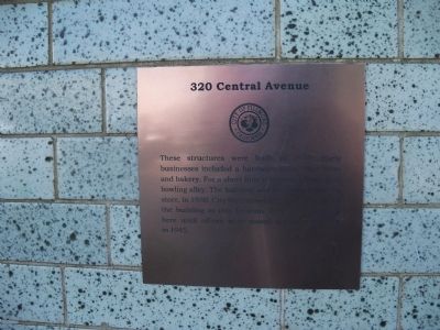
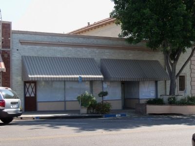
320 Central Avenue
Erected by City of Fillmore.
Topics. This historical marker is listed in this topic list: Notable Buildings. A significant historical year for this entry is 1917.
Location. 34° 23.964′ N, 118° 54.806′ W. Marker is in Fillmore, California, in Ventura County. Marker is on Central Avenue north of Main Street, on the right when traveling north. This is the second building, on the right, from the intersection of Central and Main. Touch for map. Marker is at or near this postal address: 320 Central Avenue, Fillmore CA 93015, United States of America. Touch for directions.
Other nearby markers. At least 8 other markers are within walking distance of this marker. Fillmore State Bank (a few steps from this marker); 328 Central Avenue (a few steps from this marker); 317 Central Avenue (within shouting distance of this marker); 338 Central Avenue (within shouting distance of this marker); 340 Central Avenue (within shouting distance of this marker); 362 Central Avenue (about 400 feet away, measured in a direct line); 364 Central Avenue (about 400 feet away); Fillmore's First Bank & Masonic Hall (about 400 feet away). Touch for a list and map of all markers in Fillmore.
Regarding 320 Central Avenue. Many of the historic buildings in Fillmore were destroyed or severely damaged in the 1994 Northridge Earthquake. This is one that survived.
Credits. This page was last revised on March 25, 2019. It was originally submitted on October 12, 2014, by James King of San Miguel, California. This page has been viewed 432 times since then and 18 times this year. Last updated on March 24, 2019, by Craig Baker of Sylmar, California. Photos: 1, 2. submitted on October 12, 2014, by James King of San Miguel, California. • Andrew Ruppenstein was the editor who published this page.

