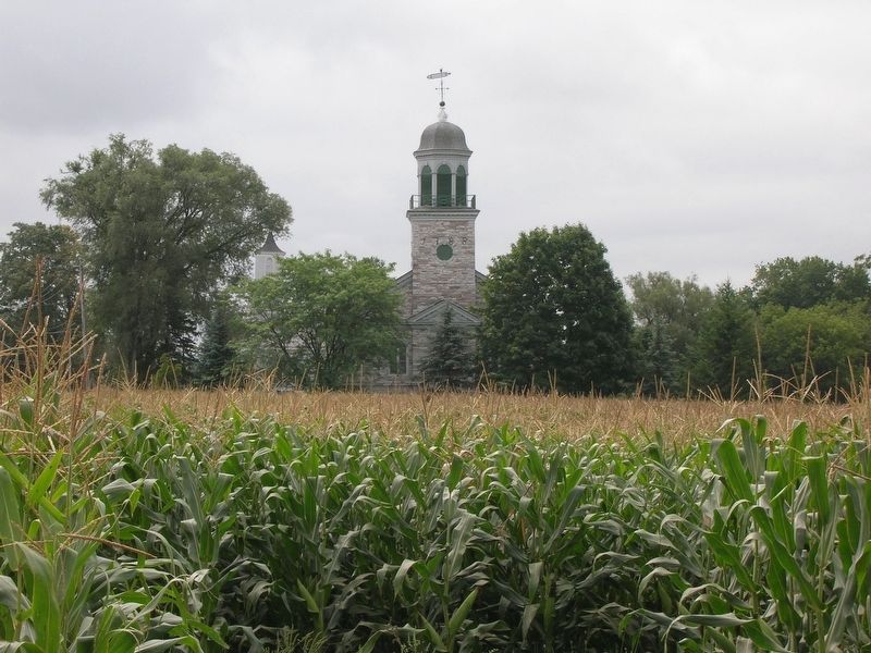
Near Palatine Bridge in Montgomery County, New York — The American Northeast (Mid-Atlantic)
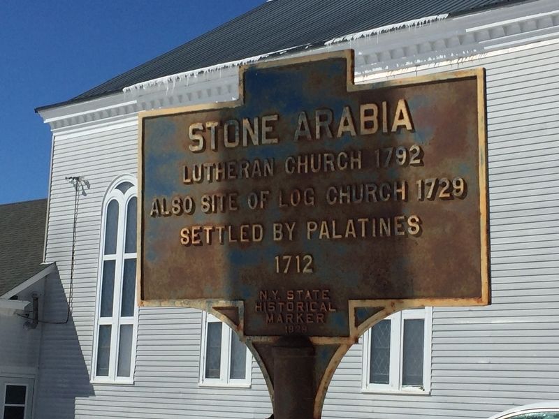
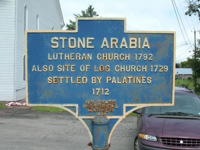
Stone Arabia
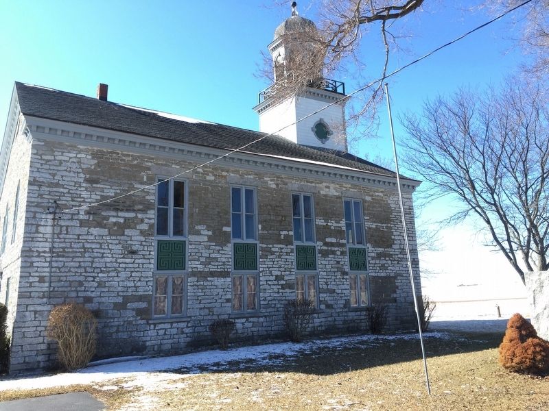
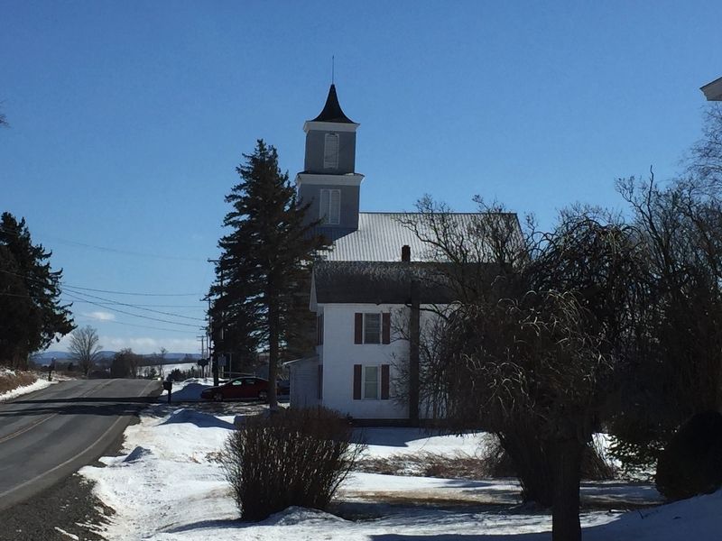
Lutheran Church 1792
Also site of log church 1729
Settled by Palatines 1712
Erected 1928 by N.Y. State Historical Marker.
Topics. This historical marker is listed in this topic list: Settlements & Settlers. A significant historical year for this entry is 1792.
Location. 42° 56.484′ N, 74° 33.339′ W. Marker is near Palatine Bridge, New York, in Montgomery County. Marker is on Route 10, on the right when traveling south. Touch for map. Marker is in this post office area: Palatine Bridge NY 13428, United States of America. Touch for directions.
Other nearby markers. At least 8 other markers are within 3 miles of this marker, measured as the crow flies. Battle of Stone Arabia (about 500 feet away, measured in a direct line); Former Dutch Reformed Church (about 500 feet away); Fort Paris (approx. 0.6 miles away); Loucks Tavern (approx. 0.9 miles away); Wagner Home (approx. 2.2 miles away); Fort Frey (approx. 2.4 miles away); John Frey (approx. 2.4 miles away); Routes of the Armies (approx. 2˝ miles away). Touch for a list and map of all markers in Palatine Bridge.
Also see . . . Trinity Lutheran Church and Cemetery - National Archives. National Register of Historic Places documentation (Submitted on March 24, 2024, by Anton Schwarzmueller of Wilson, New York.)
Credits. This page was last revised on March 24, 2024. It was originally submitted on March 26, 2019, by Steve Stoessel of Niskayuna, New York. This page has been viewed 277 times since then and 24 times this year. Photos: 1. submitted on March 26, 2019, by Steve Stoessel of Niskayuna, New York. 2. submitted on March 27, 2019, by Steve Stoessel of Niskayuna, New York. 3. submitted on December 12, 2019, by Howard C. Ohlhous of Duanesburg, New York. 4. submitted on March 26, 2019, by Steve Stoessel of Niskayuna, New York. 5. submitted on December 12, 2019, by Howard C. Ohlhous of Duanesburg, New York. • Bill Pfingsten was the editor who published this page.
