Washington in Washington County, Utah — The American Mountains (Southwest)
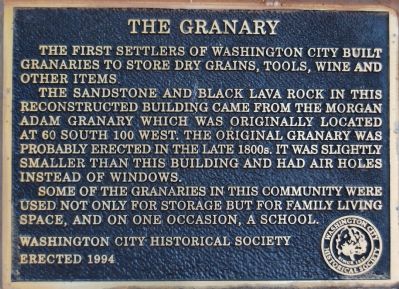
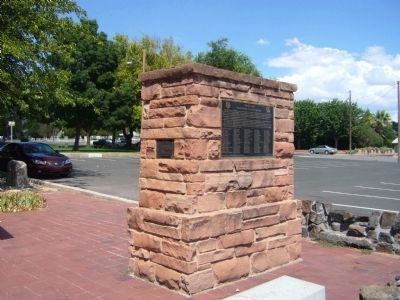
The Granary
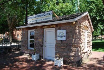
The sandstone and black lava rock in this reconstructed building came from the Morgan Adam granary which was originally located at 60 South 100 West. The original granary was probably erected in the late 1800s. It was slightly smaller than this building and had air holes instead of windows.
Some of the granaries in this community were used not only for storage but for family living space, and on one occasion, a school.
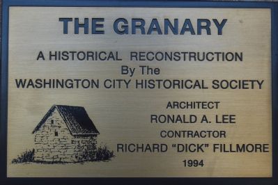
Erected 1994 by Washington City Historical Society.
Topics. This historical marker is listed in these topic lists: Notable Buildings • Settlements & Settlers.
Location. 37° 7.828′ N, 113° 30.532′ W. Marker is in Washington, Utah, in Washington County. Marker can be reached from East Telegraph Road. Touch for map. Marker is at or near this postal address: 50 E Telegraph Rd, Washington UT 84780, United States of America. Touch for directions.
Other nearby markers. At least 5 other markers are within walking distance of this marker. Utah’s Dixie Birthplace, Washington City (here, next to this marker); “Utah’s Dixie” Washington City (here, next to this marker); Prominent Pioneer Men and Women Who Helped Settle Washington City (within shouting distance of this marker); Thomas W. Smith's Corn Cracker & Grist Millstone (about 700 feet away, measured in a direct line); Relief Society Hall (about 700 feet away). Touch for a list and map of all markers in Washington.
Credits. This page was last revised on June 16, 2016. It was originally submitted on June 25, 2007, by Dawn Bowen of Fredericksburg, Virginia. This page has been viewed 1,207 times since then and 9 times this year. Photos: 1. submitted on June 25, 2007, by Dawn Bowen of Fredericksburg, Virginia. 2. submitted on September 9, 2012, by Bill Kirchner of Tucson, Arizona. 3, 4. submitted on June 25, 2007, by Dawn Bowen of Fredericksburg, Virginia. • J. J. Prats was the editor who published this page.


