Junction City in Geary County, Kansas — The American Midwest (Upper Plains)
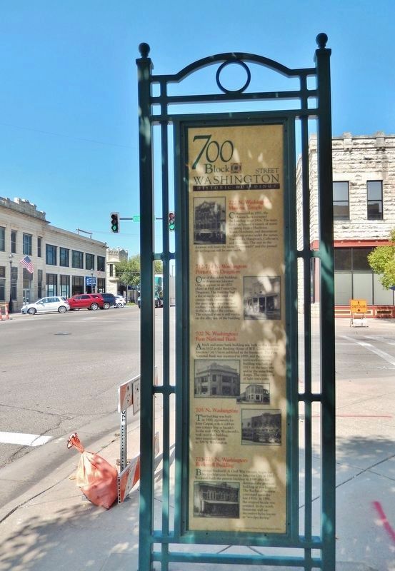
700 Block Washington Street
Historic Buildings
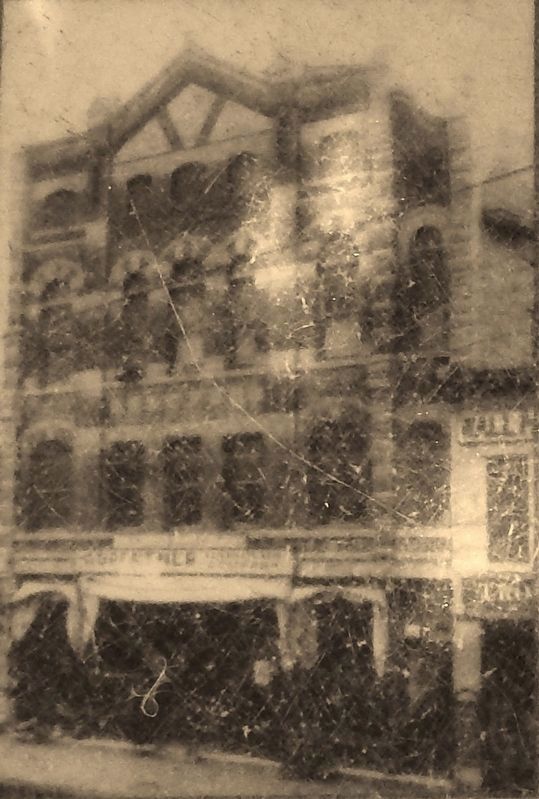
722 N. Washington:
Masonic Temple
Constructed in 1881, the Masons have occupied the building since 1916. The main floor has housed a variety of stores including Ziegler Hardware, Waters Hardware, and department or clothing stores under the names Townsend's, Hampton's, Calhoun's, and William's. The mat in the doorway still bears the name "Townsend’s" and the pressed tin ceiling can still he seen inside.
712-714 N. Washington:
Porter City Drugstore
One of the oldest buildings in downtown Johnson City, it appears in an 1870 photo as Hall and Porter City Drugstore. The building had a flat stone façade until the current brick (maintaining the same upper windows and roofline) replaced it sometime in the middle of the century. The original stone is still visible on the alley side of the building.
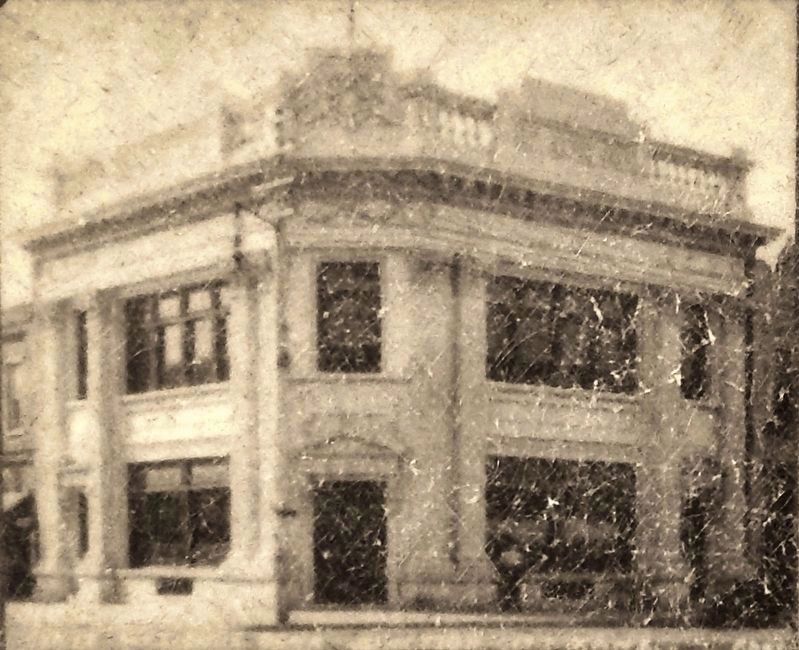
702 N. Washington:
First National Bank
A brick and stone bank building was built at this location in 1870 as the banking House of W.B. Clark, with the Junction City Union published in the basement. The First National Bank was organized in 1889, and the current reinforced concrete building was built in 1913 on the same site and in the same basic design. The exterior is of light terra cotta.
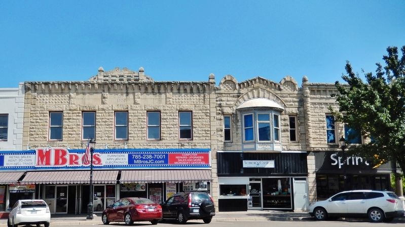
705 N. Washington:
This building was built in 1900, apparently for John Caspar, a shoe cobbler (see cornice line at facade). In the mid-1950's Woolworth's took over this building, later extending north to 709 N. Washington.
723-725 N. Washington:
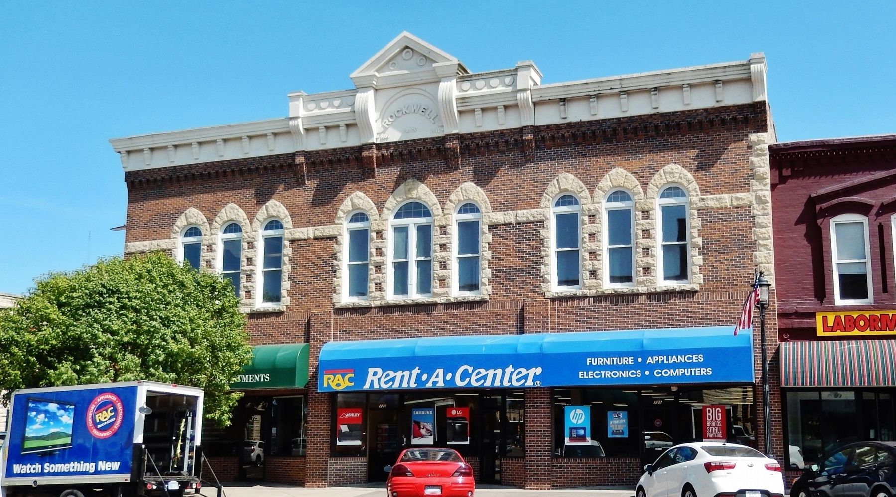
Rockwell Building
Bertrand Rockwell, a Civil War veteran, began his dry goods/grocery business in Junction City in 1865. Rockwell built the present building in 1889 after fire destroyed the previous building at this location. The Rockwell business continued until the late 1920s. In 1986, the original facade was restored. In the north limestone wall are decorative holes known as "woodpeckering."
Photographs courtesy of Geary County Historical Society
Topics. This historical marker is listed in these topic lists: Architecture • Industry & Commerce.
Location. 39° 1.814′ N, 96° 49.763′ W. Marker is in Junction City, Kansas, in Geary County. Marker is at the intersection of North Washington Street (Alternate U.S. 77) and East 8th Street, on the right when traveling north on North Washington Street. Marker is located along the sidewalk at the southeast corner of the intersection, facing south. Touch for map. Marker is at or near this postal address: 725 North Washington Street, Junction City KS 66441, United States of America. Touch for directions.
Other nearby markers. At least 8 other markers are within walking distance of this marker. 800 Block Washington Street (here, next to this marker); 7th Street East & West of Washington (about 300 feet away, measured in a direct line); 600 Block Washington Street (about 300 feet away); George Smith (about 400 feet away); Civil War Memorial Arch (approx. 0.2 miles away); State of Kansas Vietnam Veterans Memorial (approx. 0.2 miles away); Purple Heart Memorial (approx. 0.2 miles away); 1st Infantry Division Memorial (approx. 0.2 miles away). Touch for a list and map of all markers in Junction City.
Credits. This page was last revised on March 30, 2019. It was originally submitted on March 29, 2019, by Cosmos Mariner of Cape Canaveral, Florida. This page has been viewed 253 times since then and 15 times this year. Photos: 1. submitted on March 29, 2019, by Cosmos Mariner of Cape Canaveral, Florida. 2, 3, 4, 5, 6. submitted on March 30, 2019, by Cosmos Mariner of Cape Canaveral, Florida.

