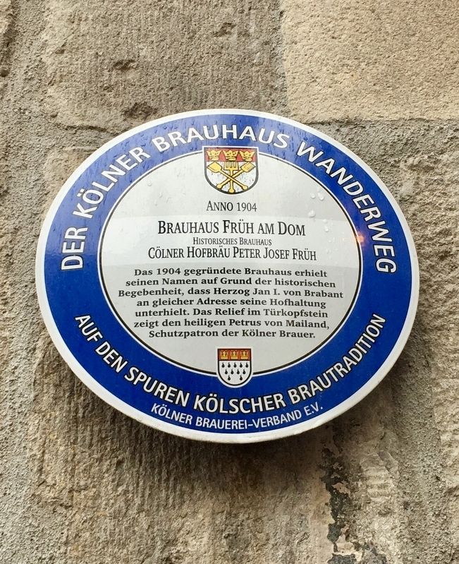
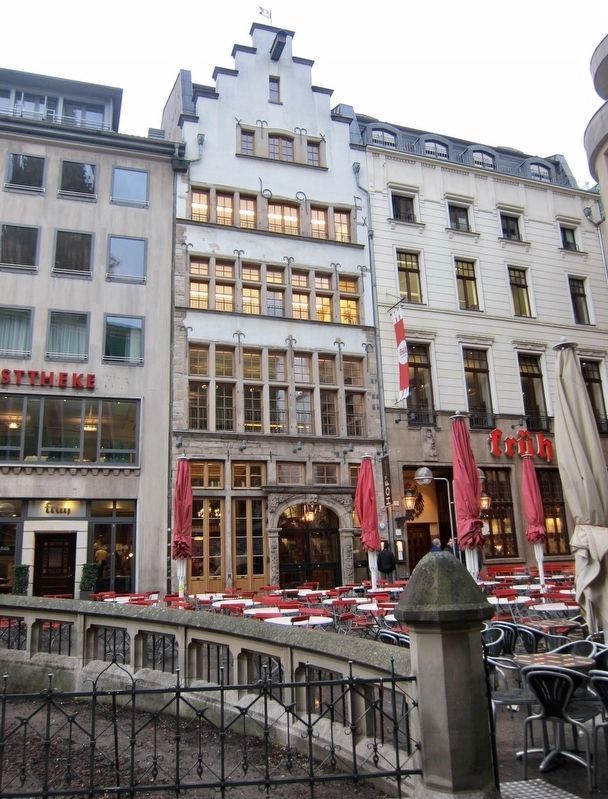
Brauhaus Früh am Dom / The 'Frueh at the Cathedral' Brewery
Der Kölner Brauhaus Wanderweg / The Cologne Brewery Trail
Brauhaus Früh am Dom
Historisches Brauhaus
Cölner Hofbrau Peter Josef Früh
-
'Frueh at the Cathedral' Brewery
Historical Brewery
Cölner Hofbrau Peter Josef Früh
Erected by Kölner Brauerei-Verband e.V.
Topics. This historical marker is listed in this topic list: Industry & Commerce. A significant historical year for this entry is 1904.
Location. 50° 56.405′ N, 6° 57.423′ E. Marker is in Cologne
, Nordrhein-Westfalen (North Rhine-Wetphalia), in Köln. Marker is on Am Hof, on the right when traveling east. Touch for map. Marker is at or near this postal address: Am Hof 12, Cologne HE 50667, Germany. Touch for directions.
Other nearby markers. At least 8 other markers are within walking distance of this marker. Teilstück des Römischen Abwasserkanals / Section of Roman Sewage System (about 150 meters away, measured in a direct line); Seitenportal des römischen Nordtores/ Side Portal of North Roman Gate (about 150 meters away); Pfarrkirche St. Laurenz / Parish Church of St. Laurenz (about 180 meters away); Kapelle St. Victor / St. Victor Chapel (approx. 0.3 kilometers away); Historisches Rathaus / Historical Town Hall (approx. 0.3 kilometers away); Johann Maria Farina and Eau de Cologne (approx. 0.3 kilometers away); Dominican Monastery Site and Albertus Magnus (approx. 0.4 kilometers away); Georg Simon Ohm (approx. 0.4 kilometers away). Touch for a list and map of all markers in Cologne.
Also see . . . Where tradition meets the future (Frueh Restaurant, in English). The brewhouse's history told with a timeline and photos. (Submitted on March 30, 2019.)
Additional keywords. beer
Credits. This page was last revised on January 28, 2022. It was originally submitted on March 29, 2019, by Andrew Ruppenstein of Lamorinda, California. This page has been viewed 241 times since then and 21 times this year. Photos: 1. submitted on March 29, 2019, by Andrew Ruppenstein of Lamorinda, California. 2. submitted on March 30, 2019, by Andrew Ruppenstein of Lamorinda, California.

