Linthicum Heights in Anne Arundel County, Maryland — The American Northeast (Mid-Atlantic)
SCR-270 Radar Antenna
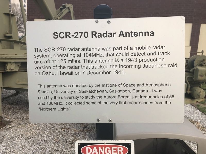
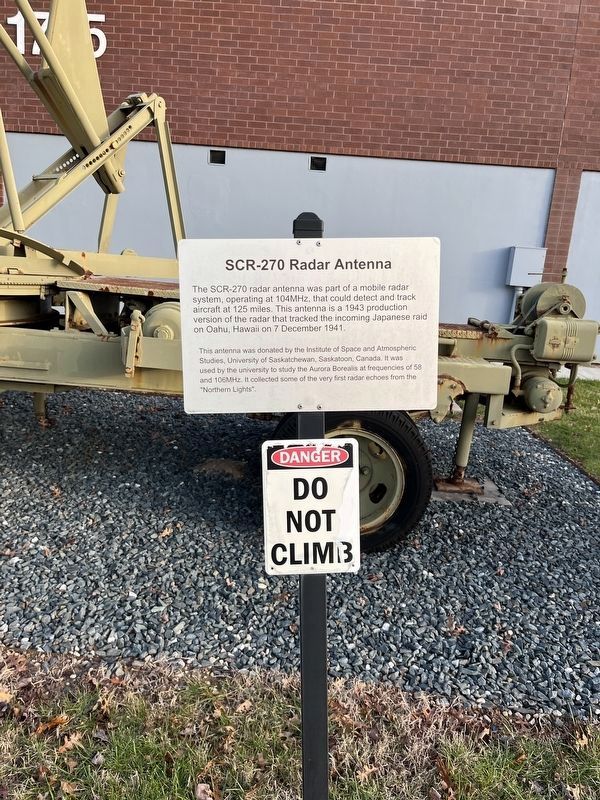
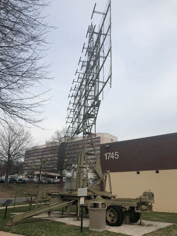
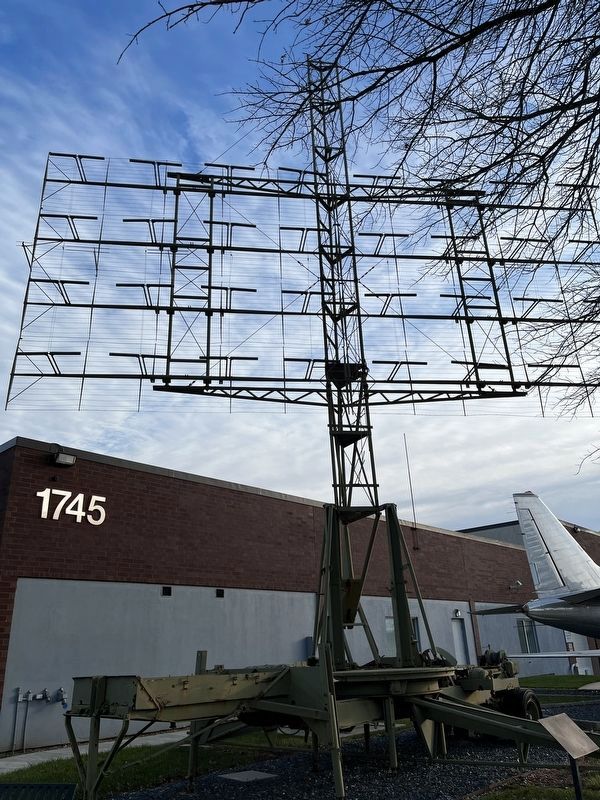
This antenna was donated by the Institute of Space and Atmospheric Studies, University of Saskatchewan, Saskatoon, Canada. It was used by the university to study the Aurora Borealis at frequencies of 58 and 105MHz. It collected some of the very first radar echoes from the "Northern Lights".
Erected by National Electronics Museum.
Topics. This historical marker is listed in these topic lists: Air & Space • Communications • War, World II. A significant historical date for this entry is December 7, 1941.
Location. 39° 11.755′ N, 76° 41.067′ W. Marker is in Linthicum Heights, Maryland, in Anne Arundel County. Marker is at the intersection of West Nursery Road and Elm Road, on the right when traveling north on West Nursery Road. Touch for map. Marker is at or near this postal address: 1745 West Nursery Road, Linthicum Heights MD 21090, United States of America. Touch for directions.
Other nearby markers. At least 8 other markers are within 2 miles of this marker, measured as the crow flies. AN/SPG-55B Radar (a few steps from this marker); TPS-43 (within shouting distance of this marker); Nike Ajax (within shouting distance of this marker); FuG 65 Wurzburg Riese (Giant) Radar Antenna (within shouting distance of this marker); XAF Radar Antenna (within shouting distance of this marker); Stoney Run Train Station (approx. 0.8 miles away); Elkridge Furnace Inn (approx. 1.6 miles away); Elkridge Landing (approx. 1.7 miles away). Touch for a list and map of all markers in Linthicum Heights.
Credits. This page was last revised on April 1, 2023. It was originally submitted on March 31, 2019, by Devry Becker Jones of Washington, District of Columbia. This page has been viewed 464 times since then and 41 times this year. Photos: 1. submitted on March 31, 2019, by Devry Becker Jones of Washington, District of Columbia. 2. submitted on March 21, 2023, by Adam Margolis of Mission Viejo, California. 3. submitted on March 31, 2019, by Devry Becker Jones of Washington, District of Columbia. 4. submitted on March 21, 2023, by Adam Margolis of Mission Viejo, California.


