Near Santa Paula in Ventura County, California — The American West (Pacific Coastal)
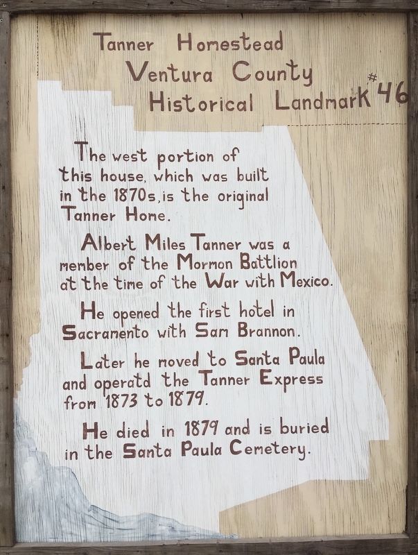
Tanner Homestead
Ventura County Historical Landmark #46
Photographed by Craig Baker, March 23, 2019
1. Tanner Homestead Marker
Erected by Ventura County. (Marker Number 46.)
Topics and series. This historical marker is listed in these topic lists: Industry & Commerce • Settlements & Settlers. In addition, it is included in the Ventura County Historical Landmarks series list. A significant historical year for this entry is 1873.
Location. 34° 21.857′ N, 119° 2.197′ W. Marker is near Santa Paula, California, in Ventura County. It is on East Telegraph Road (California Route 126) 1.6 miles east of Route 150, on the right when traveling east. Touch for map. Marker is at or near this postal address: 18492 E Telegraph Road, Santa Paula CA 93060, United States of America. Touch for directions.

Regionally, this marker is in Greater Los Angeles, on the Central Coast,
this page online
Other nearby markers. At least 8 other markers are within 2 miles of this marker, measured as the crow flies: Portolá Expedition (approx. one mile away); Canyon School (approx. 1.3 miles away); Saint Francis Dam Disaster Memorial (approx. 1½ miles away); Birthplace of Union Oil Company of California (approx. 1½ miles away); The Depot, Santa Paula (approx. 1½ miles away); McKevett School (approx. 1½ miles away); Glen Tavern Inn (approx. 1.6 miles away); Water Well Drilling Rig (approx. 1.6 miles away). Touch for a list and map of all markers in Santa Paula.
Another marker is no longer nearby. Familia Diaz Cafe (was approx. 1½ miles away but has been confirmed missing).
Photographed by Craig Baker, March 23, 2019
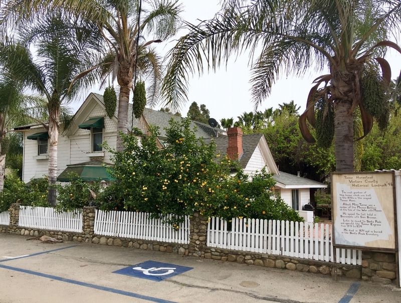
2. Tanner Homestead and Marker
Photographed by Craig Baker, March 23, 2019
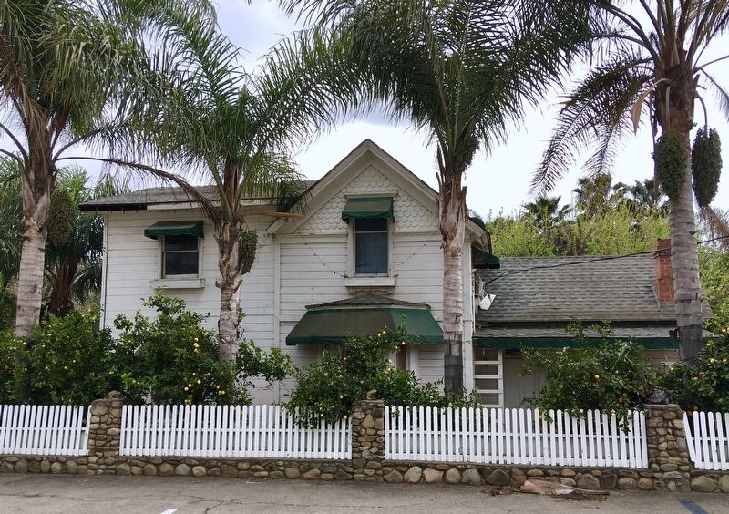
3. Tanner Homestead
Photographed by Craig Baker, March 23, 2019
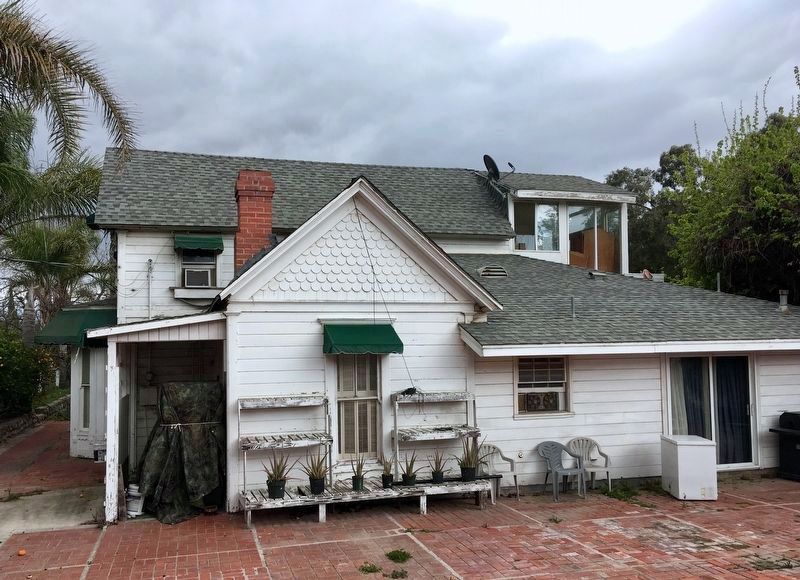
4. West Portion — the Original Home
Credits. This page was last revised on April 8, 2019. It was originally submitted on April 3, 2019, by Craig Baker of Sylmar, California. This page has been viewed 752 times since then and 41 times this year. Photos: 1, 2, 3, 4. submitted on April 3, 2019, by Craig Baker of Sylmar, California. • Andrew Ruppenstein was the editor who published this page.
