Mackinac Island in Mackinac County, Michigan — The American Midwest (Great Lakes)
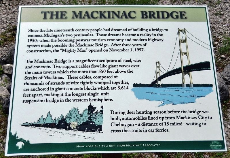
The Mackinac Bridge
Photographed by Cosmos Mariner, July 30, 2017
1. The Mackinac Bridge Marker
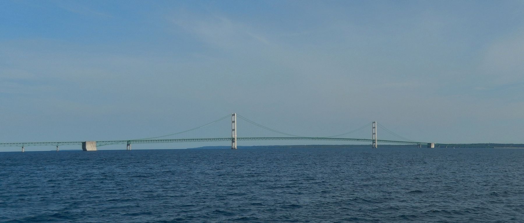
The Mackinac Bridge is a magnificent sculpture of steel, wire and concrete. Two support cables flow like giant waves over the main towers which rise more than 550 feet above the Straits of Mackinac. These cables, composed of thousands of strands of wire tightly wrapped together, are anchored in giant concrete blocks which are 8,614 feet apart, making it the longest single-unit suspension bridge in the western hemisphere.
During deer hunting season before the bridge was built, automobiles lined up from Mackinaw City to Cheboygan - a distance of 15 miles! - waiting to cross the straits in car ferries.
Erected by Mackinac Associates and Mackinac State Historic Parks.
Topics. This historical marker is listed in this topic list: Bridges & Viaducts. A significant historical date for this entry is November 1, 1957.
Location. 45° 52.658′ N,
this page online

Regionally, this marker is on the Upper Peninsula and on the Straits of Mackinac. It is also in the American Midwest. Globally, it is in North America, in the Great North Woods, on the Great Lakes, in the Western Hemisphere, in the Western World, and in the Anglosphere. Historically, it finds itself in what was once the Viceroyalty of New France and also the Northwest Territory.
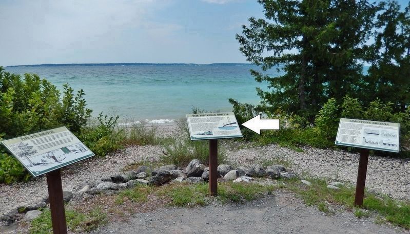
Other nearby markers. At least 8 other markers are within 2 miles of this marker, measured as the crow flies: The Ice Bridge (here, next to this marker); Limestone Breccia (here, next to this marker); British Landing (a few steps from this marker); Contest for the Island (within shouting distance
Photographed by Cosmos Mariner, July 30, 2017
2. The Mackinac Bridge Marker
Also see . . .
1. History of the Bridge. The five-mile bridge, including approaches, and the world’s longest suspension bridge between cable anchorages, was designed by the great engineer Dr. David B. Steinman. Merritt-Chapman & Scott Corporation’s $25,735,600 agreement to build all the foundations led to the mobilization of the largest bridge construction fleet ever assembled. The bridge was officially begun amid proper ceremonies on May 7 & 8, 1954, at St. Ignace and Mackinaw City. (Submitted on April 5, 2019, by Cosmos Mariner of Cape Canaveral, Florida.)
2. History of the Bridge Design (Wikipedia). The design of the Mackinac Bridge was directly influenced by the lessons from the first Tacoma Narrows Bridge, which failed in 1940 because of its instability in high winds. Steinman recommended that future bridge designs include deep stiffening trusses to support
Photographed by Cosmos Mariner, July 30, 2017
3. The Mackinac Bridge Marker
Photographed by Cosmos Mariner, July 30, 2017
4. The Mackinac Bridge (view from Mackinac Island Ferry)
Credits. This page was last revised on July 19, 2020. It was originally submitted on April 5, 2019, by Cosmos Mariner of Cape Canaveral, Florida. This page has been viewed 720 times since then and 54 times this year. Photos: 1, 2, 3, 4. submitted on April 5, 2019, by Cosmos Mariner of Cape Canaveral, Florida.
