Strong in Rochester in Monroe County, New York — The American Northeast (Mid-Atlantic)
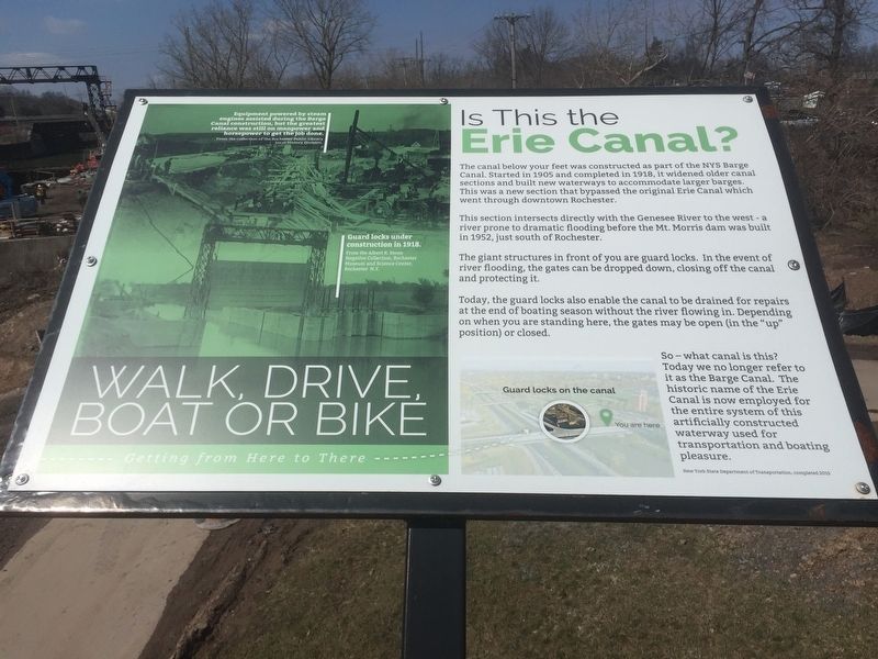
Is this the Erie Canal?
This section intersects directly with the Genesee River to the west - a river prone to dramatic flooding before the Mt. Morris dam was built in 1952, just south of Rochester.
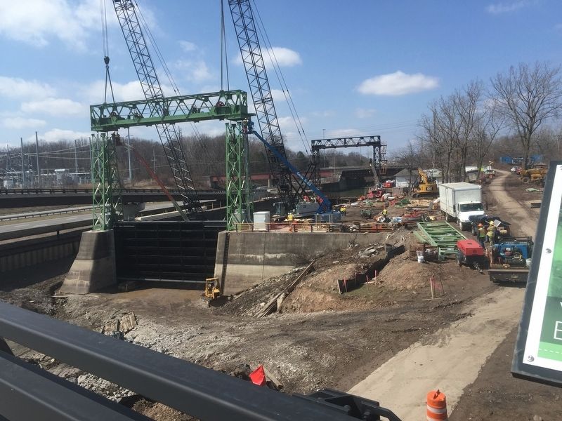
The giant structures in front of you are guard locks. In the event of river flooding, the gates can be dropped down, closing off the canal and protecting it.
Today, the guard locks also enable the canal to be drained for repairs at the end of boating season without the river flowing in. Depending on when you are standing here, the gates may be open (in the “up” position) or closed.
So-what canal is this? Today we no longer refer to it as the Barge Canal. The historic name of the Erie Canal is now employed for the entire system of this artificially constructed waterway used for transportation and boating pleasure
Erected 2015 by New York State Department of Transportation.
Topics and series. This historical marker is listed in this topic list: Waterways & Vessels . In addition, it is included in the Erie Canal series list. A significant historical year for this entry is 1905.
Location. 43° 6.964′ N, 77° 37.971′ W. Marker is in Rochester, New York, in Monroe County. It is in Strong. Marker is on Kendrick Road, on the right when traveling west. On the bridge over I-390. Touch for map. Marker is in this post office area: Rochester NY 14620, United States of America. Touch for directions.
Other nearby markers. At least 8 other markers are within walking distance of this marker. The Genesee Expressway (within shouting distance of this marker); The Lehigh Valley Railroad Bridge (within shouting distance of this marker); The Canalway Trail (about 300 feet away, measured in a direct line); Olmsted and Genesee Valley Park (about 500 feet away); The Empire State Trail (approx. ¼ mile away); Camp Hillhouse (approx. half a mile away); Curtis Point (approx. half a mile away); Clara Barton Red Cross Trail (approx. half a mile away). Touch for a list and map of all markers in Rochester.
Credits. This page was last revised on February 16, 2023. It was originally submitted on April 6, 2019, by Steve Stoessel of Niskayuna, New York. This page has been viewed 219 times since then and 22 times this year. Photos: 1, 2. submitted on April 6, 2019, by Steve Stoessel of Niskayuna, New York. • Bill Pfingsten was the editor who published this page.

