Woodsboro in Frederick County, Maryland — The American Northeast (Mid-Atlantic)
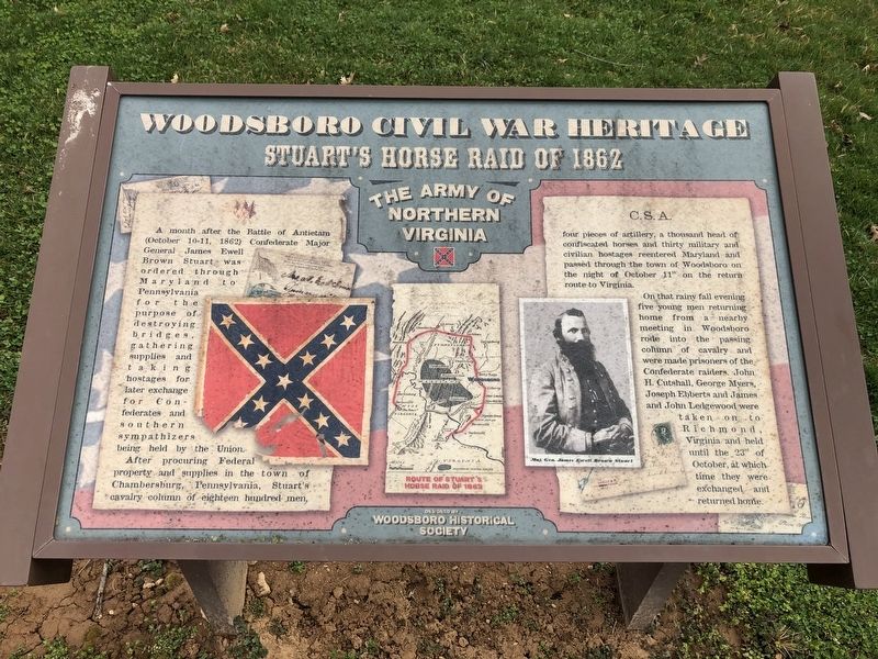
Stuart's Horse Raid of 1862
Woodsboro Civil War Heritage
— The Army of Northern Virginia —
After procuring Federal property and supplies in the town of Chambersburg, Pennsylvania, Stuart's cavalry column of eighteen hundred men, four pieces of artillery, a thousand head of confiscated horses and thirty military and civilian hostages reentered Maryland and passed through the town of Woodsboro on the night of October 11th on the return of route to Virginia.
On that rainy fall evening five young men returning home from a nearby meeting in Woodsboro rode into the passing column of cavalry and were made prisoners of the Confederate raiders. John H. Custshall, George Myrers, Joseph Ebberts and James and John Ledgewood were taken on to Richmond, Virginia and held until the 23rd of October at which time they were exchanged and returned home.
Erected by Woodsboro Historical Society.
Topics. This historical marker is listed in this topic list: War, US Civil. A significant day of the year for for this entry is October 11.
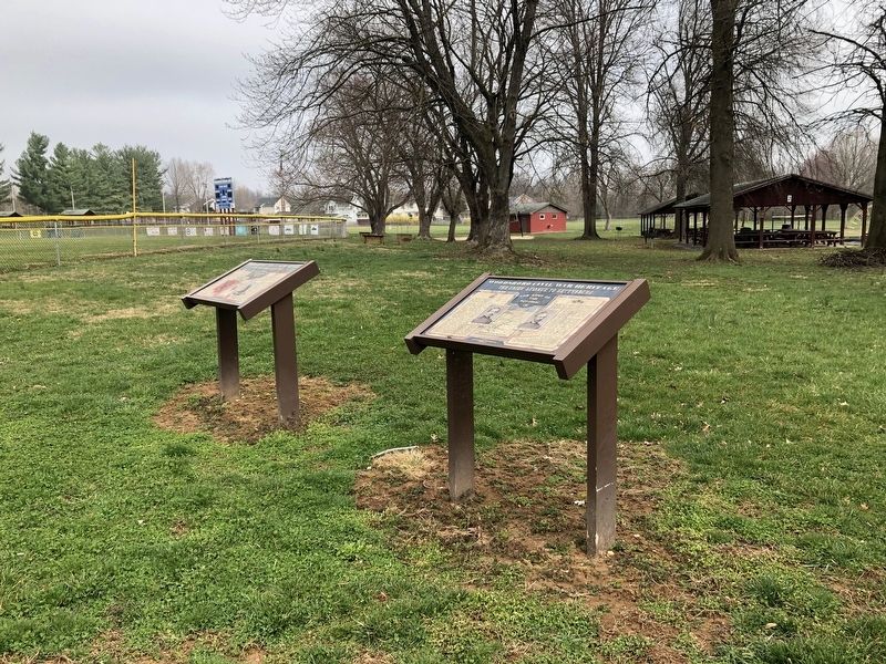
Location. 39° 31.943′ N, 77° 18.549′ W. Marker is in Woodsboro, Maryland, in Frederick County. Marker can be reached from Council Drive north of Woodsboro Road (Maryland Route 550), on the left when traveling north. Touch for map. Marker is at or near this postal address: 1 Council Drive, Woodsboro MD 21798, United States of America. Touch for directions.
Other nearby markers. At least 8 other markers are within 4 miles of this marker, measured as the crow flies. The Union Advance to Gettysburg (here, next to this marker); Col. Joseph Wood (approx. half a mile away); Site of the Slagle Inn (approx. half a mile away); George Washington (approx. 2.3 miles away); George Poe (approx. 3 miles away); Israel's Creek (approx. 3 miles away); In Remembrance (approx. 3.2 miles away); Heritage Farm Park Lime Kiln (approx. 3.3 miles away). Touch for a list and map of all markers in Woodsboro.
Credits. This page was last revised on April 6, 2019. It was originally submitted on April 6, 2019, by Devry Becker Jones of Washington, District of Columbia. This page has been viewed 283 times since then and 38 times this year. Photos: 1, 2. submitted on April 6, 2019, by Devry Becker Jones of Washington, District of Columbia.

