Capitol Hill in Tallahassee in Leon County, Florida — The American South (South Atlantic)
Leon County
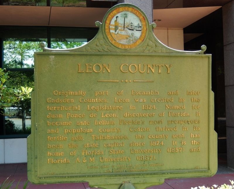
Photographed by Cosmos Mariner, May 9, 2015
1. Leon County Marker
in cooperation with
Leon County Commissioners
Erected 1961 by Florida Board of Parks and Historic Memorials, and Leon County Commissioners. (Marker Number F-45.)
Topics and series. This historical marker is listed in this topic list: Political Subdivisions. In addition, it is included in the Historically Black Colleges and Universities series list. A significant historical year for this entry is 1824.
Location. 30° 26.38′ N, 84° 16.827′ W. Marker is in Tallahassee, Florida, in Leon County. It is in Capitol Hill. It is at the intersection of South Monroe Street (State Road 20) and East Jefferson Street (State Road 366), on the right when traveling north on South
this page online

Regionally, this marker is in North Florida. It is also in the American South and specifically in the Deep South. Globally, it is in the North Atlantic Region, North America, a Gulf of Mexico state, the Western Hemisphere, the Western World, and the Anglosphere. Historically, it finds itself in what was once New Spain, the territory of the Mississippian Culture, one of the Confederate States of America, and the Antebellum South.
Other nearby markers. At least 8 other markers are within walking distance of this marker: Tallahassee Bus Boycott (within shouting distance of this marker); The Tallahassee Lunch Counter Sit-Ins (within shouting distance of this marker); Lewis Bank (within shouting distance of this marker); Florida Sri Chinmoy Peace State (within shouting distance of this marker); Leon County World War II Memorial (within shouting distance of this marker);
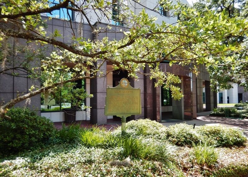
Photographed by Cosmos Mariner, May 9, 2015
2. Leon County Marker (wide view; Leon County Courthouse in background)
Also see . . .
1. Leon County, Florida (Wikipedia). By the 1850s and 1860s, Leon County had become part of the "cotton kingdom" of the Deep South. It ranked fifth of all Florida and Georgia counties in the production of cotton from the 20 major plantations. Uniquely among Confederate capitals east of the Mississippi River, in the American Civil War Tallahassee was never captured by Union forces. No Union soldiers set foot in Leon County until the Reconstruction Era. (Submitted on April 8, 2019, by Cosmos Mariner of Cape Canaveral, Florida.)
2. Leon County was the center of the slave trade in Florida. Leon County's population in 1860 was 73% African American, almost all of them slaves. Starting in 1861, all free blacks had to register with the county and pay $1 for a permit; each required a local white sponsor, who could be sued for actions of the negro, as negroes could not be sued.
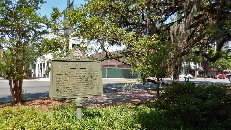
Photographed by Cosmos Mariner, May 9, 2015
3. Leon County Marker (wide view from courthouse; Monroe/Jefferson intersection in background)
Credits. This page was last revised on February 12, 2023. It was originally submitted on April 7, 2019, by Cosmos Mariner of Cape Canaveral, Florida. This page has been viewed 540 times since then and 32 times this year. Photos: 1, 2, 3. submitted on April 8, 2019, by Cosmos Mariner of Cape Canaveral, Florida.
